
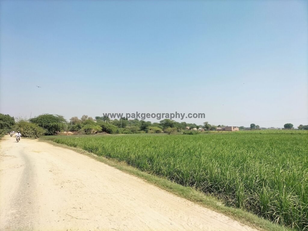
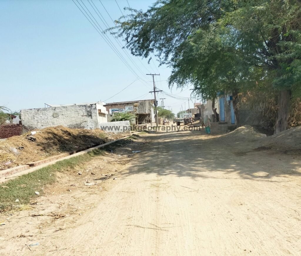
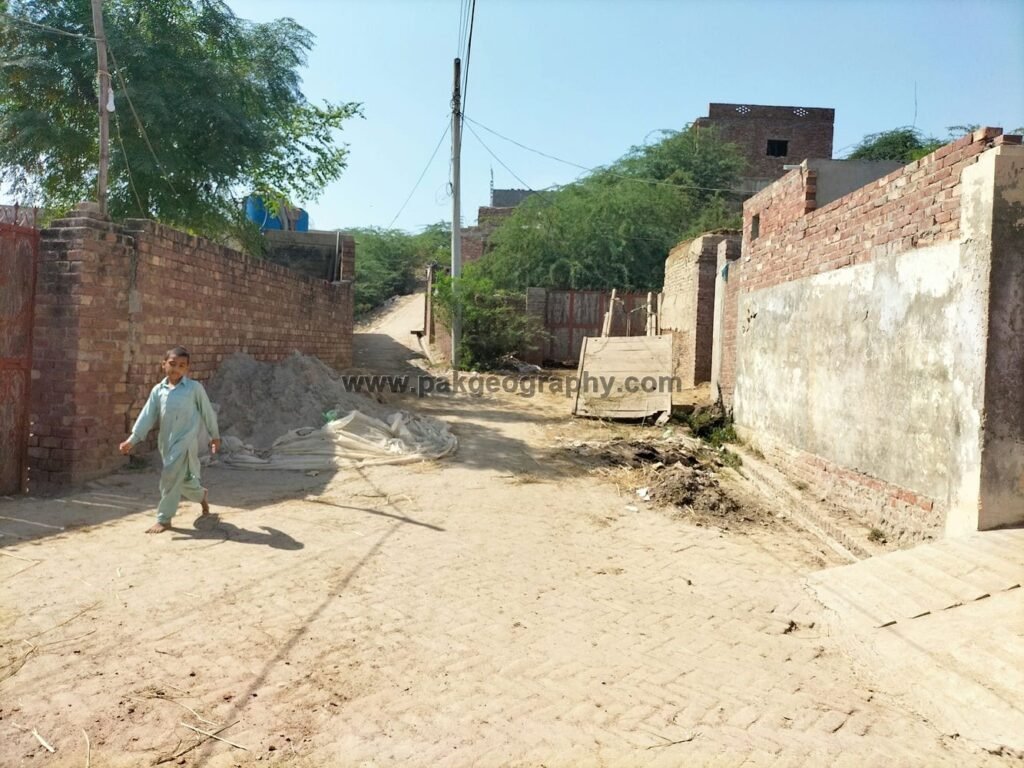
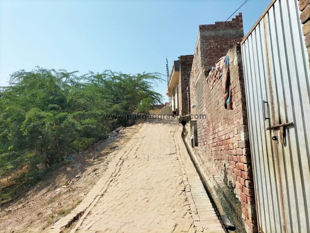
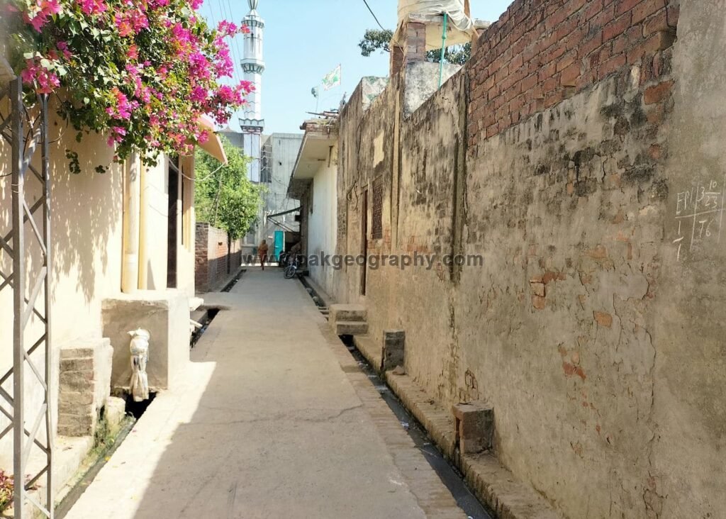
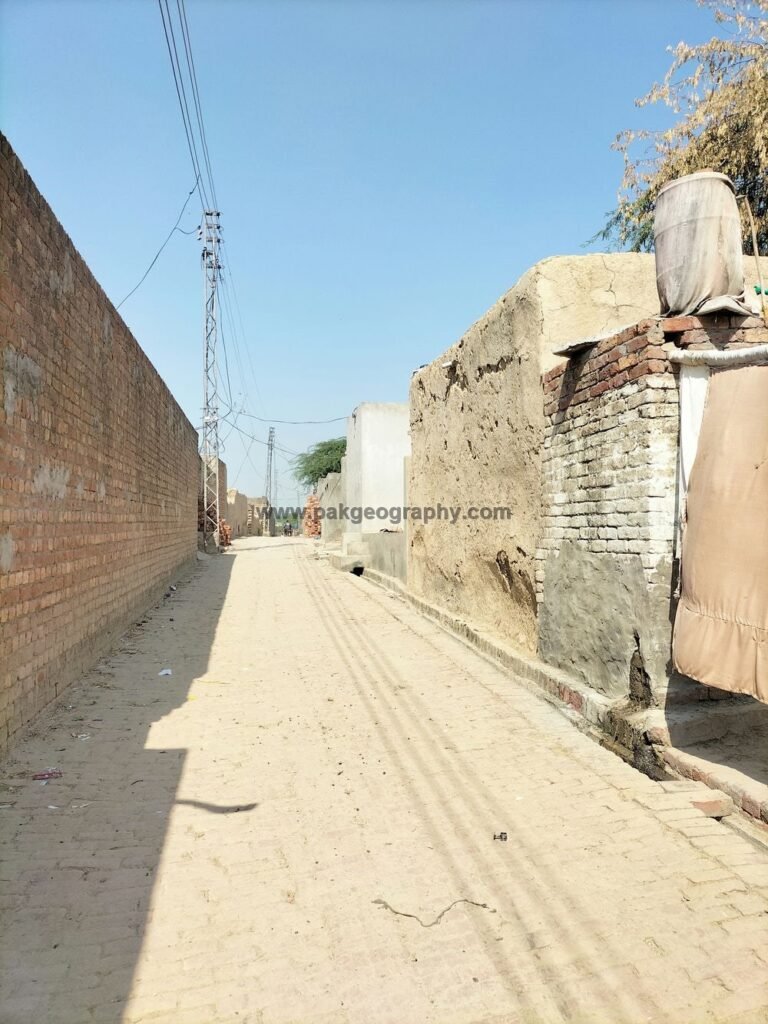
Rohay Wal is a village which is situated in union council no 18 (Bhedian Kalan), Tehsil and District Kasur, Province Punjab, Pakistan. Its surrounding areas are Ladheke, Lohgarh and Patto kalan. It is close to Pakistan India border which lies on its east. Rohay Wal is located about 10 km southeast of Kasur city. Electricity has been provided to this village. Its area comprises of 1537 Acres of land which includes village settlement and surrounding agriculture land. It is sometimes also spelled as Rohiwal or Rohi wal. Its latitude is 31.09354° or 31° 5′ 37″ north, while its longitude is 74.53049° or 74° 31′ 50″ east.
روہے وال ایک گاؤں ہے جو کہ یونین کونسل نمبر 18 (بھیڈیاں کلاں)، تحصیل و ضلع قصور، صوبہ پنجاب، پاکستان میں واقع ہے۔ اس کے آس پاس کے علاقے لدھیکے، لوہ گڑھ اور پتو کلاں ہیں۔ یہ پاک بھارت سرحد کے قریب ہے جو اس کے مشرق میں واقع ہے۔ روہے وال قصور شہر سے تقریباً 10 کلومیٹر جنوب مشرق میں واقع ہے۔ اس گاؤں کو بجلی فراہم کی گئی ہے۔ اس کا رقبہ 1537 ایکڑ اراضی پر مشتمل ہے جس میں گاؤں کی بستی اور آس پاس کی زرعی اراضی شامل ہے۔ اسے بعض اوقات روہیوال بھی کہا جاتا ہے۔ اس کا عرض بلد 31.09354° یا 31° 5′ 37″ شمال ہے، جبکہ اس کا طول البلد 74.53049° یا 74° 31′ 50″ مشرق ہے۔


Population and Literacy rate of Rohay Wal:
As per 2017 census, population of Rohaywal comprises of 1244 persons, of which 652 persons are male while 592 are females. Its literacy rate is 49.4 percent. Literacy rate of male population is 58.3 percent while literacy rate among females is 39.5 percent.
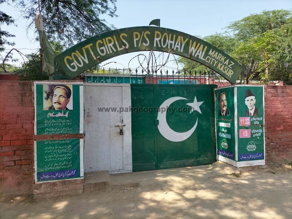
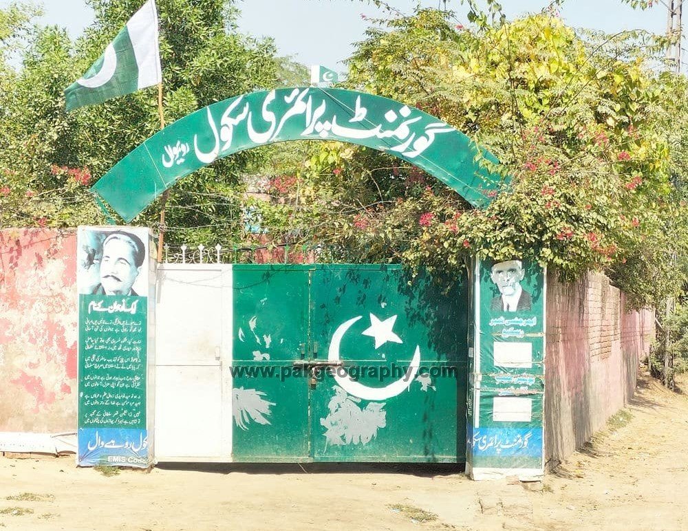
Schools in Rohay Wal:
There are following two Government schools in Rohay Wal:
- Govt. Primary School. It was established in 1967. Its EMIS code is 35120216.
- Govt. Girls Primary School. It was established in 1996. Its EMIS code is 35120553.
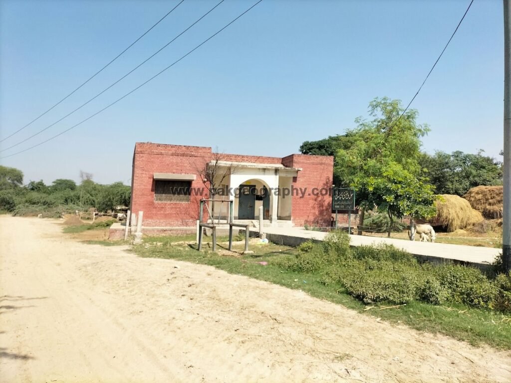
Health Center:
There is one rural dispensary in Rohay wal. Nearest rural health center is located about 7.5 km southwest in Ganda Singh Wala.