
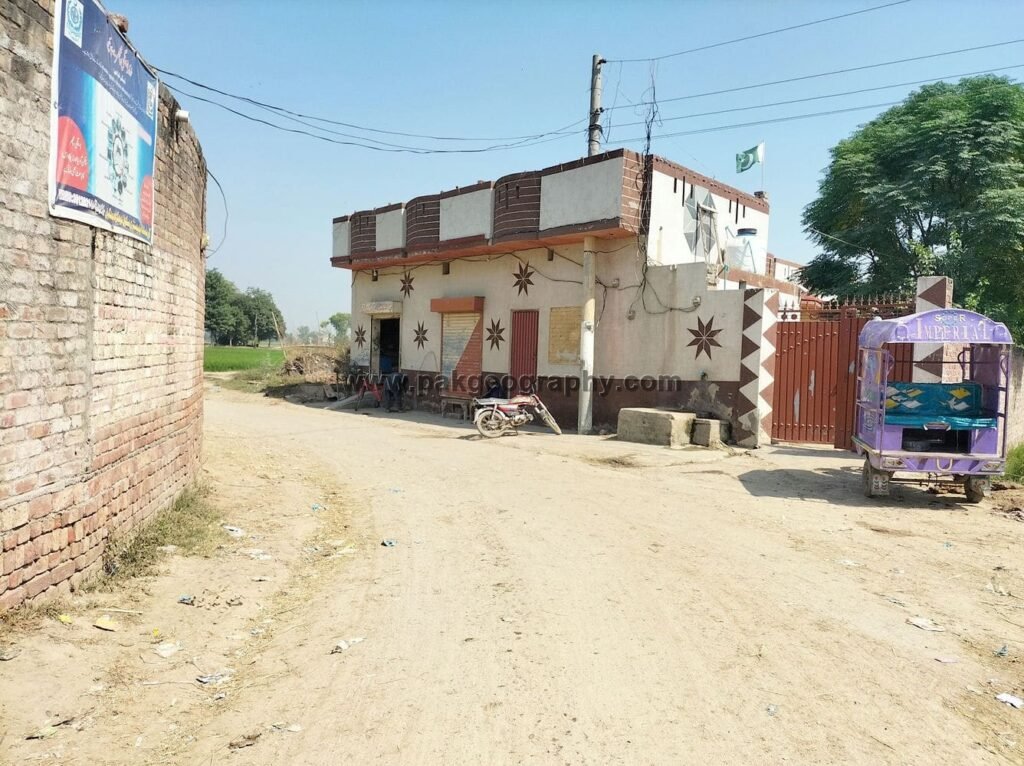
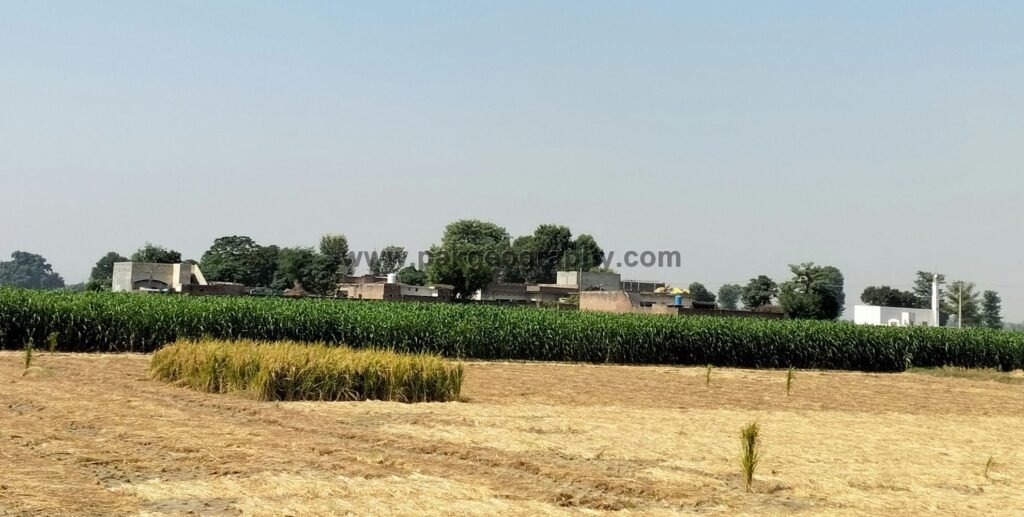
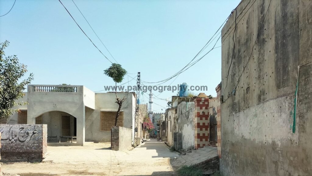
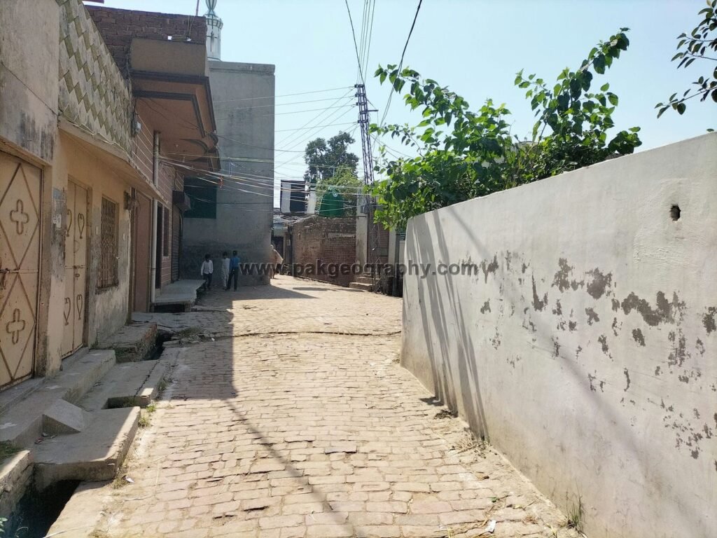
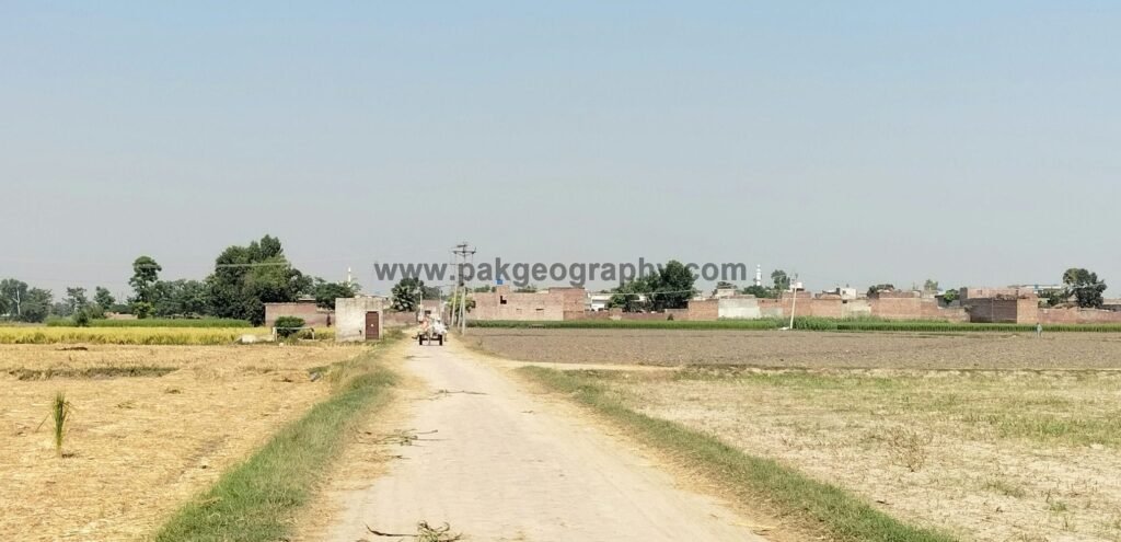
Lohgarh Jhugian is a village situated in union council no. 18 (Bhedian Kalan), Tehsil and District, Kasur, Province Punjab, Pakistan. Its surrounding villages are BhedianKalan, Ladheke, Rohiwal, Patto kalan and Maan. It is located about 11 kilometers southeast of Kasur city. This town has been provided electricity while natural gas facility is not available in it. Area of Lohgarh Jhugian comprises of 1099 Acres of land. Wheat is one of the most cultivated crops of this area. Its latitude is 31.08239° or 31° 4′ 57″ north while its longitude is 74.51913° or 74° 31′ 9″ east.
لوہگڑھ جھُگیاں ایک گاؤں ہے جو یونین کونسل نمبر 18 (بھیڈیاں کلاں)، تحصیل و ضلع قصور، صوبہ پنجاب، پاکستان میں واقع ہے۔ اس کے آس پاس کے گاؤں بھیڈیاں کلاں، لدھیکے، روہیوال، پتو کلاں اور مان ہیں۔ یہ قصور شہر سے تقریباً 11 کلومیٹر جنوب مشرق میں واقع ہے۔ اس گاؤں کو بجلی فراہم کی گئی ہے جبکہ اس میں قدرتی گیس کی سہولت دستیاب نہیں ہے۔ اس کا رقبہ 1099 ایکڑ اراضی پر مشتمل ہے۔ گندم اس علاقے کی سب سے زیادہ کاشت کی جانے والی فصلوں میں سے ایک ہے۔ اس کا عرض بلد 31.08239° یا 31° 4′ 57″ شمال ہے جبکہ اس کا طول البلد 74.51913° یا 74° 31′ 9″ مشرق ہے۔


Population and literacy rate of Lohgarh Jhugian:
As per 2017 census, population of this village comprises of 1589 persons, of which 814 persons are male, while 775 persons are females. Literacy rate of this village is 56.4 percent. Literacy rate of male population is 64.8 percent, while literacy rate among females is 47 percent. Its Muslim population is 1520, while 69 of its residents are non Muslims.
Schools in Lohgarh Jhugian:
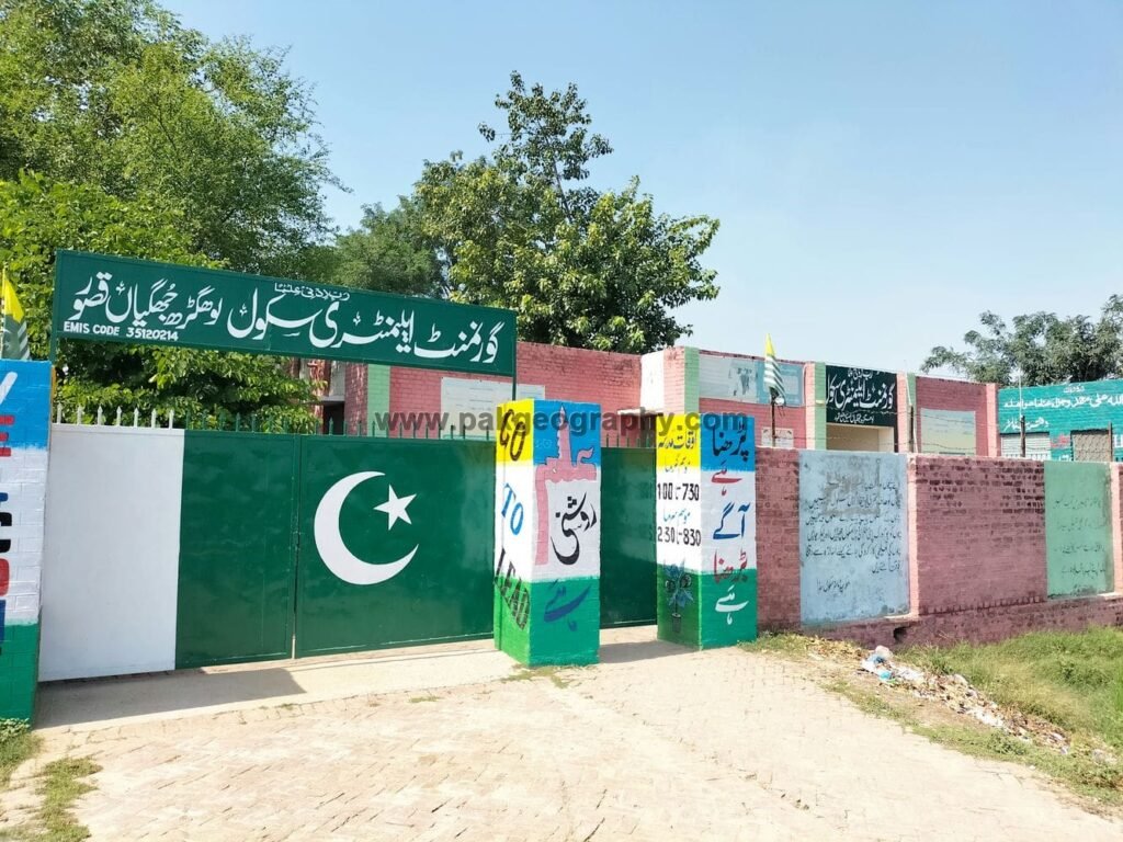
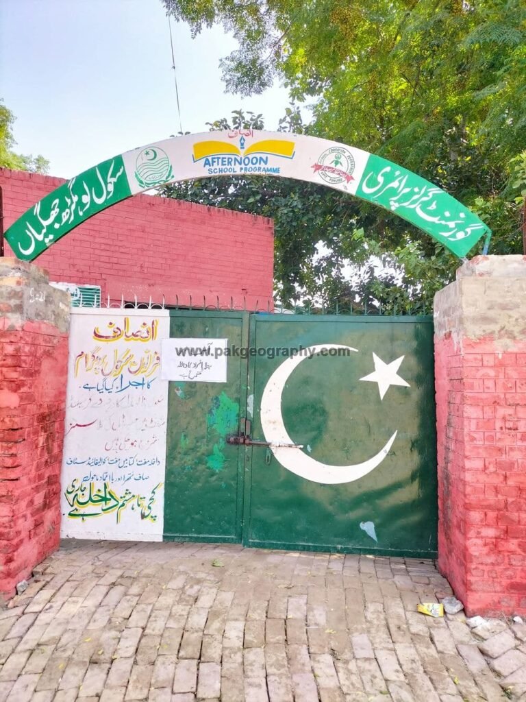
There are following two Government Schools in Lohgarh Jhugian:
- Govt. Elementary School (GES). It was established in 1964 and extends over an area of 04 Kanals. Its EMIS code is 35120214.
- Govt. Girls Primary School (GGPS). It was founded in year 1979. Its EMIS code is 35120519.
Health Center:
There is no health center in Logarh Jhuggian. Nearest rural dispensary is located in Rohywal about 2 kilometers northeast.