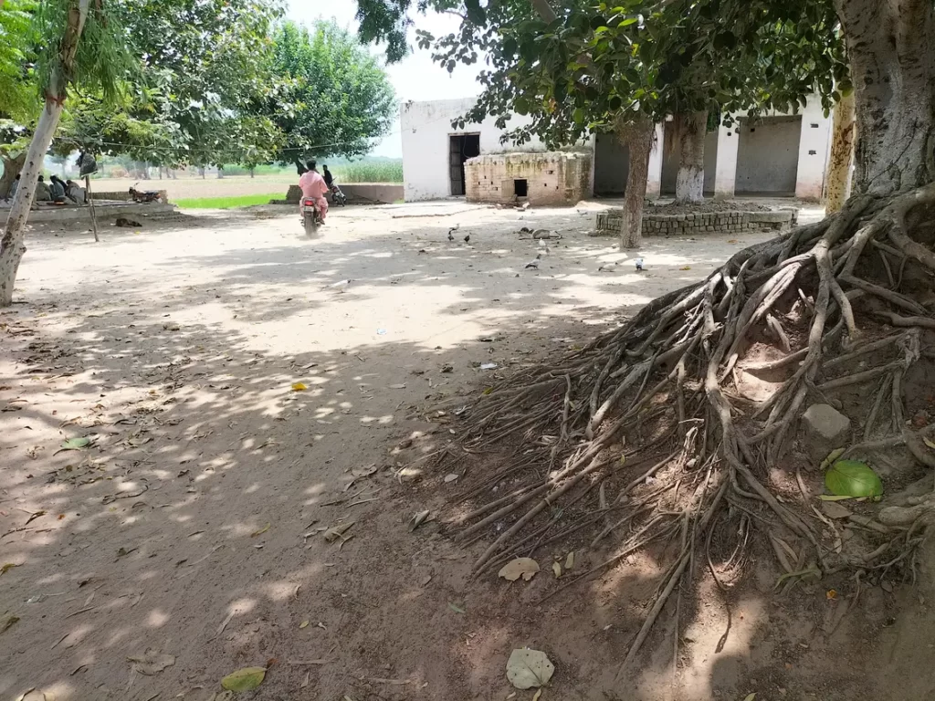
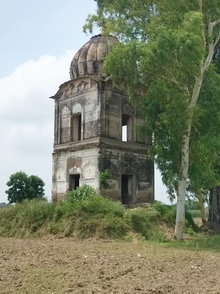
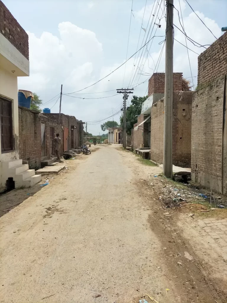
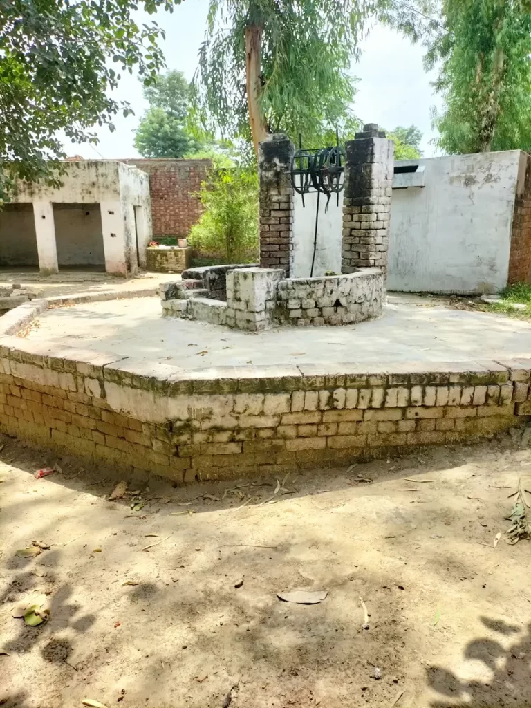
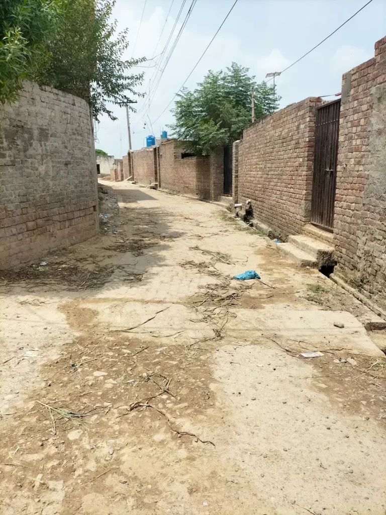
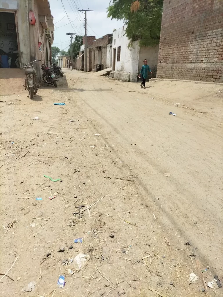
Katlohi Kalan (also spelled as Kutloohi kalan) is a village situated in union council no 6 (Ibrahim Abad), Tehsil & District, Kasur, Province Punjab, Pakistan. Its surrounding villages are Rahim Abad, Greenkot, Lakhneke, and Gaddoki. Mewati and Punjabi are the most spoken languages while Mayo, Jutt and Sheikh are the main castes of this village. It comes in National Assembly constituency NA-137 and Provincial Assembly constituency PP-175.
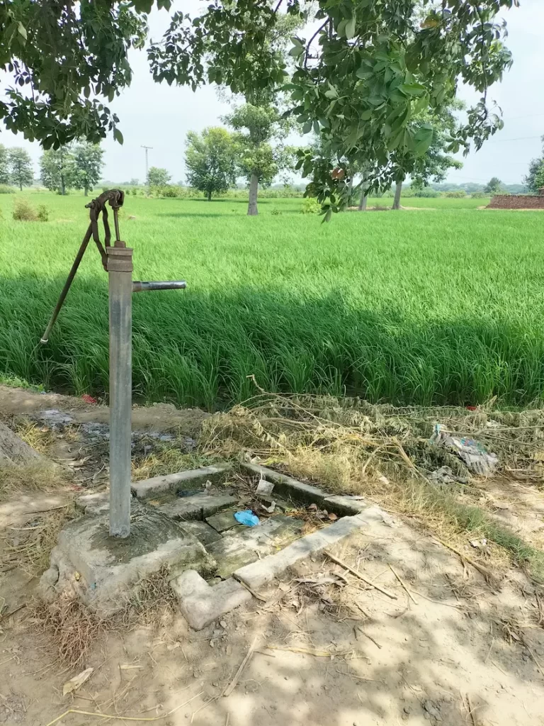
Katlohi Kalan is located in North East of kasur city about 12 kilometers away. BRB canal lies few kilometers away on its eastern side. Rice and wheat are one of the main crops cultivated in this village. This village has been provided electricity. Its latitude is 31.2052° or 31° 12′ 19″ north, while its longitude is 74.48289° or 74° 28′ 58″ east.
کتلوہی کلاں ایک گاؤں ہے جو یونین کونسل نمبر 6 (ابراہیم آباد)، تحصیل اور ضلع قصور، صوبہ پنجاب، پاکستان میں واقع ہے۔ اس کے آس پاس کے گاؤں رحیم آباد، گرنکوٹ، لکھنکے، اور گڈوکی ہیں۔ یہ قومی اسمبلی کے حلقہ این اے 137 اور صوبائی اسمبلی کے حلقہ پی پی 175 میں آتا ہے۔ یہ قصور شہر کے شمال میں تقریباً 12 کلومیٹر کے فاصلے پر واقع ہے۔ چاول اور گندم اس گاؤں میں کاشت کی جانے والی اہم فصلوں میں سے ایک ہیں۔ بی آر بی نہر اس کے مشرقی جانب چند کلومیٹر کے فاصلے پر واقع ہے۔ اس گاؤں میں بجلی کی سہولت موجود ہے۔ اس کا عرض بلد 31.2052° یا 31° 12′ 19″ شمال ہے، جبکہ اس کا طول البلد 74.48289° یا 74° 28′ 58″ مشرق ہے۔
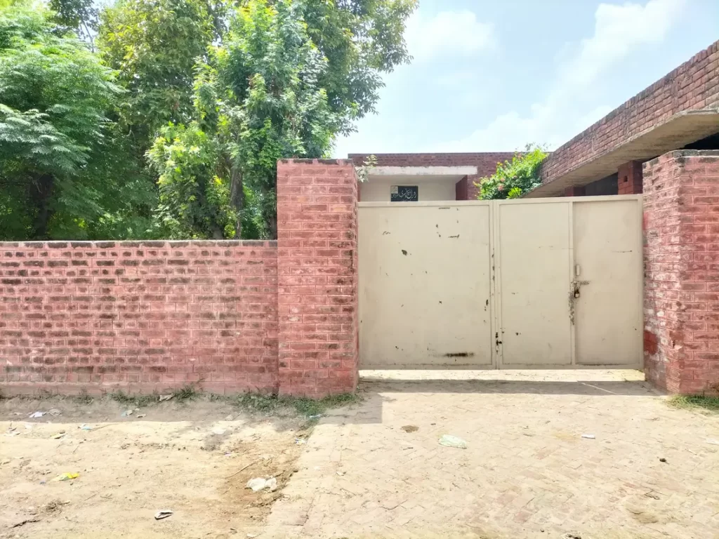
Schools in Katlohi kalan: کتلوہی کلاں میں سکول
There are following two schools in katlohi kalan:
- Government Girls primary school GGPS. Its EMIS code is 35120570.
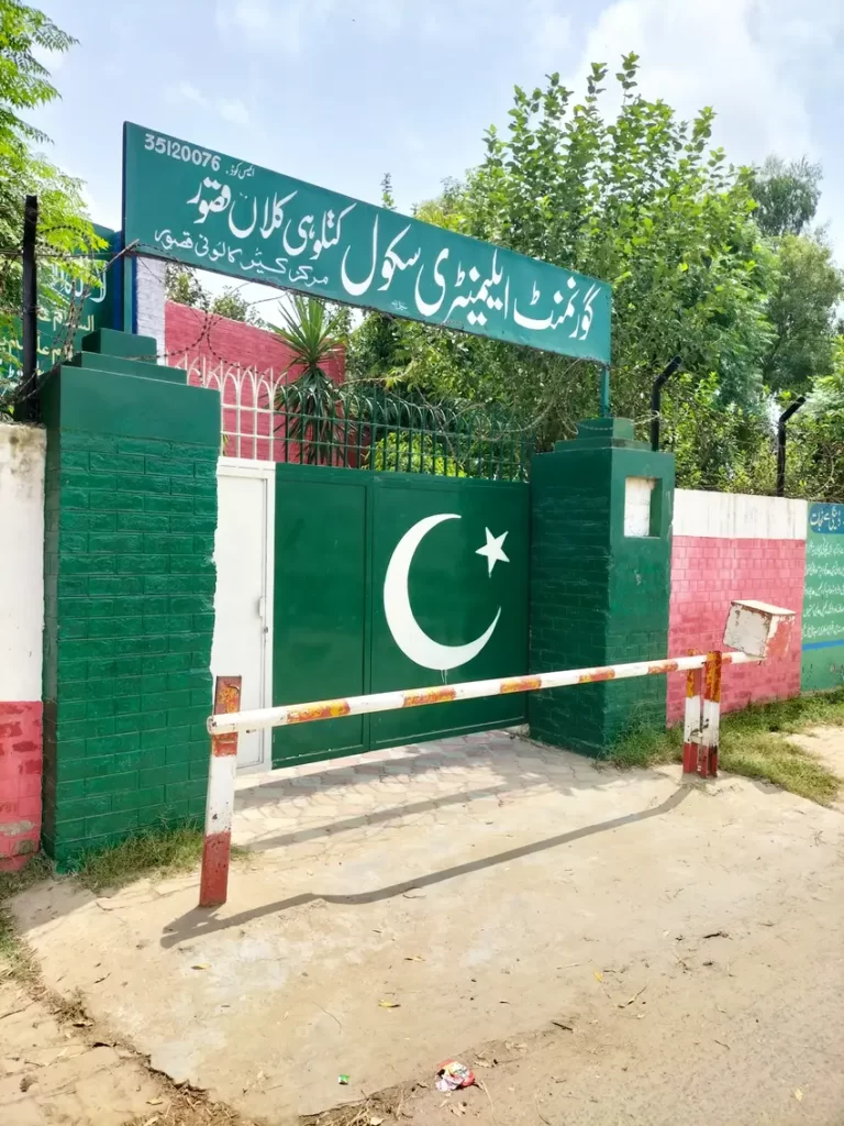
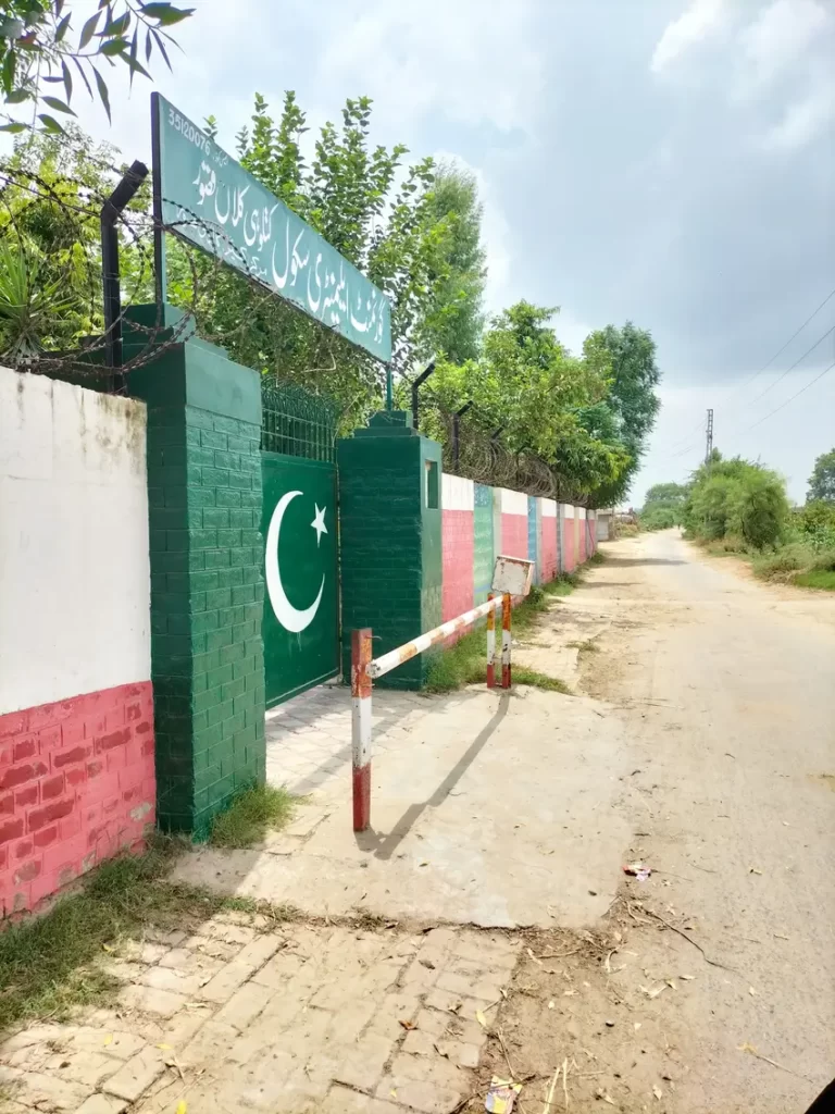
- Government Elementary School GES. Its EMIS code is 35120076.
Health Centre in this village: اس گاؤں میں صحت مرکز
There is one Government Dispensary in Katlohi kalan. Nearest main hospital (Bulleh Shah Hospital/ DHQ Hospital) is situated in Kasur city which is about 15 kilometers away from it.
