
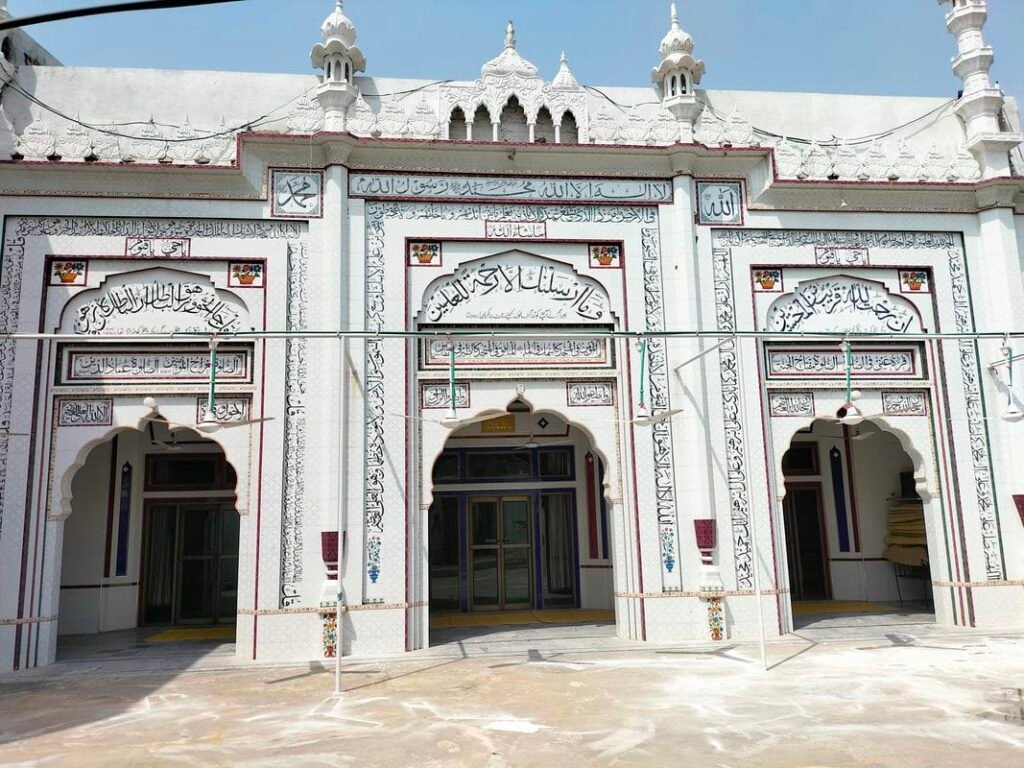
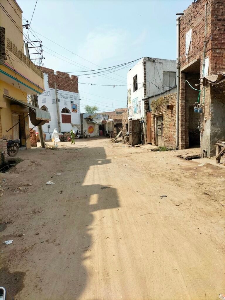
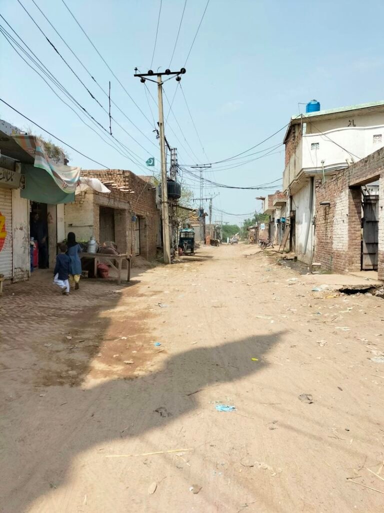
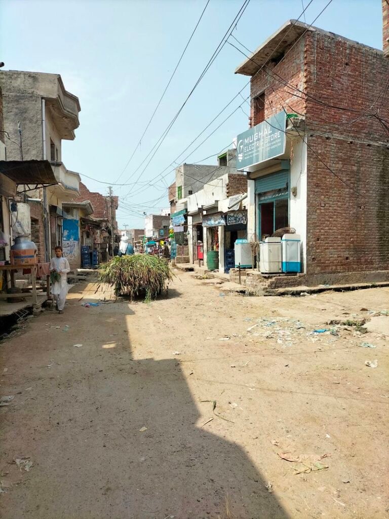
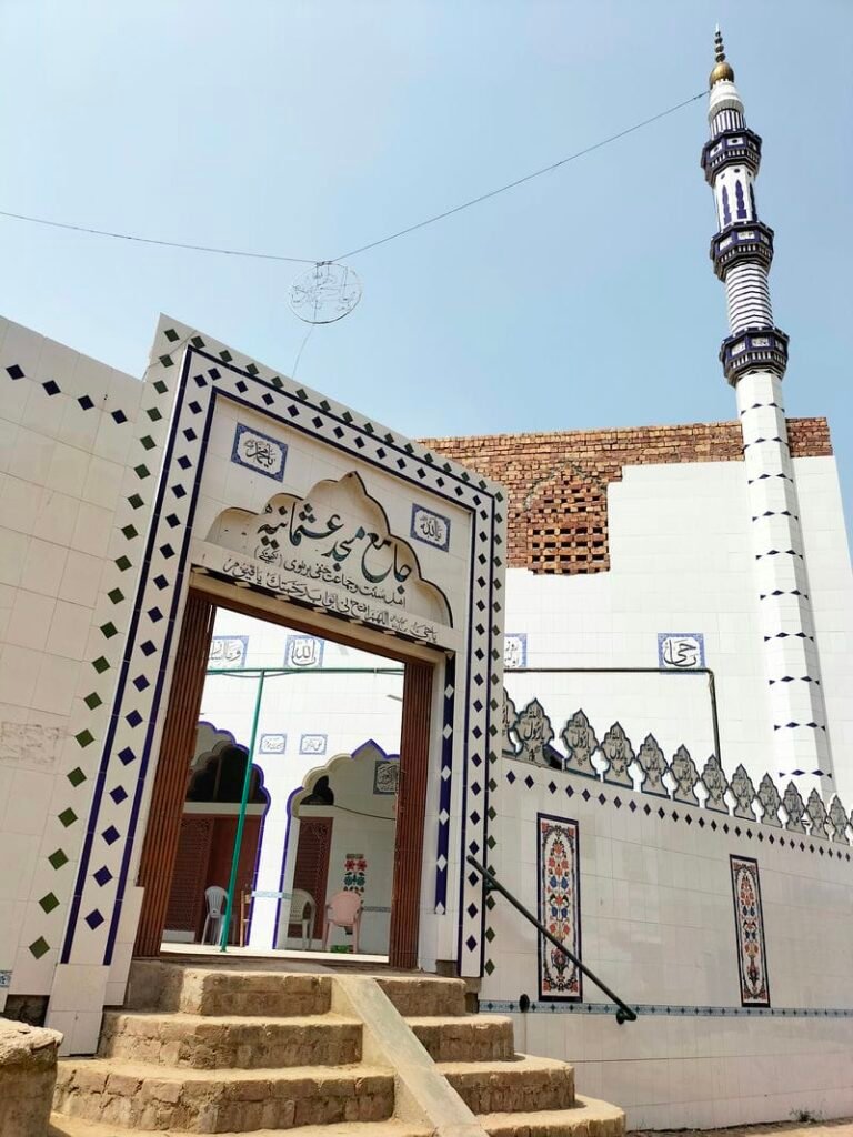
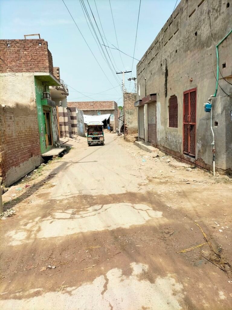
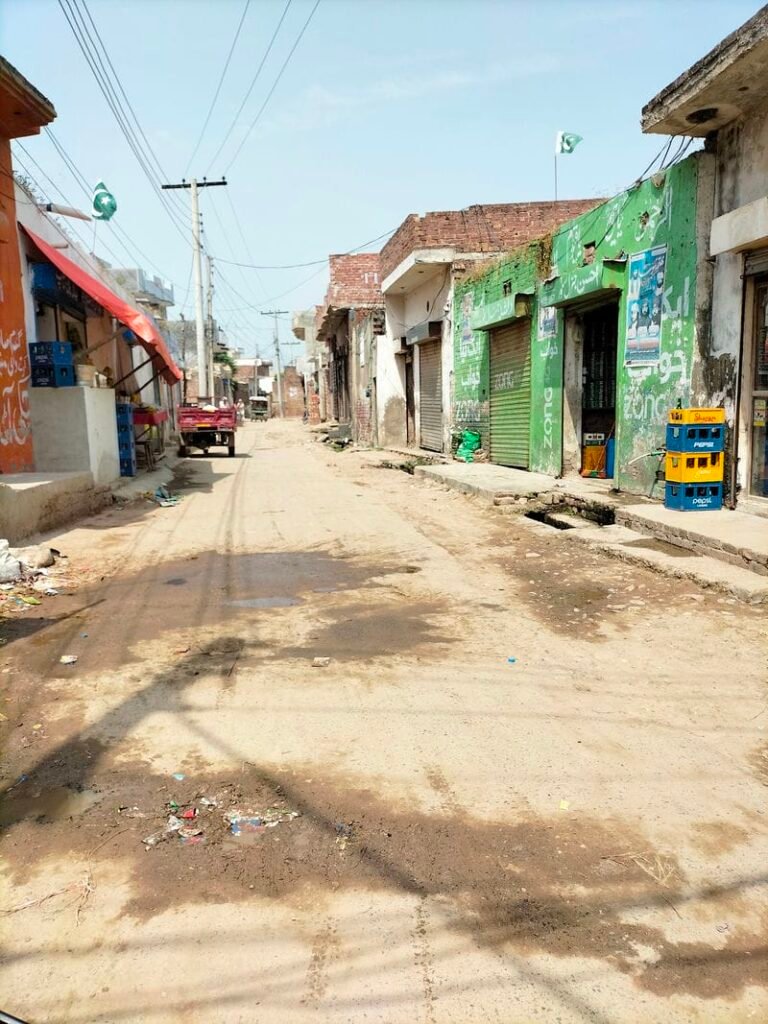
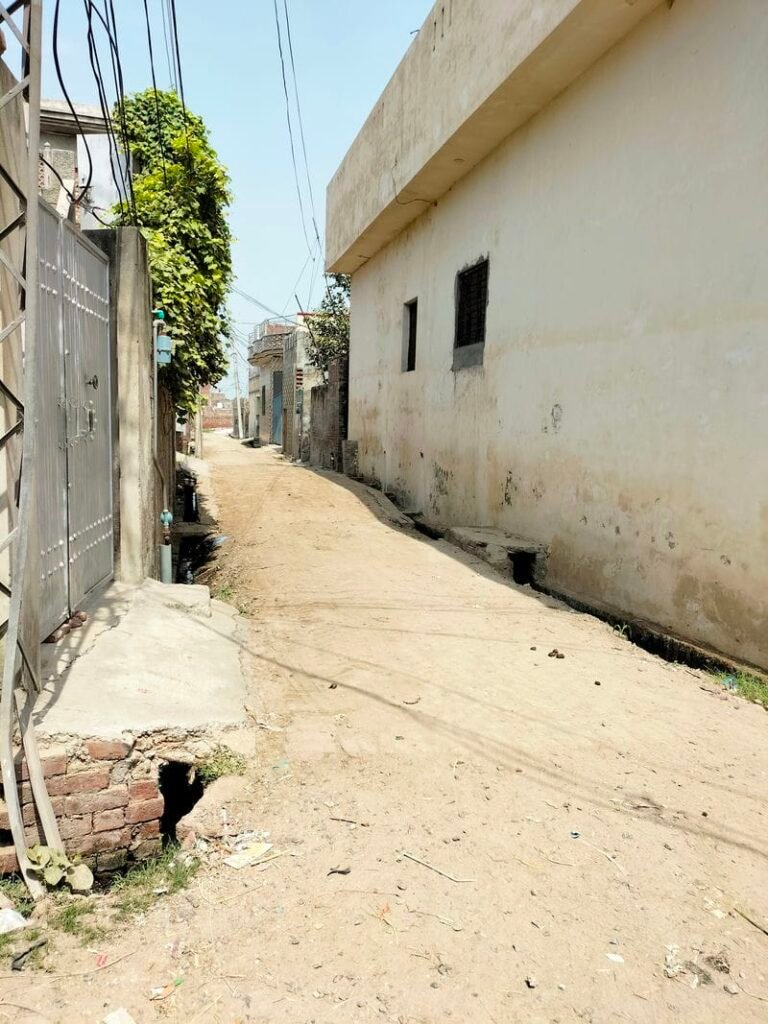
Lakhne Kay is situated in union council no 07 (Lakhne Kay), Tehsil & District, Kasur, Province Punjab, Pakistan. It is also spelled as “Lakhnay Kay”, “Lakhne ke”. It is a large village with respect to population and area and can be called as a small town. Its surrounding villages are Wadana, Green kot, Bholeke, Katlohi Kalan, Nathu wala and Naqeeb Abad. It comes in National Assembly constituency NA-137 and Provincial Assembly constituency PP-175.
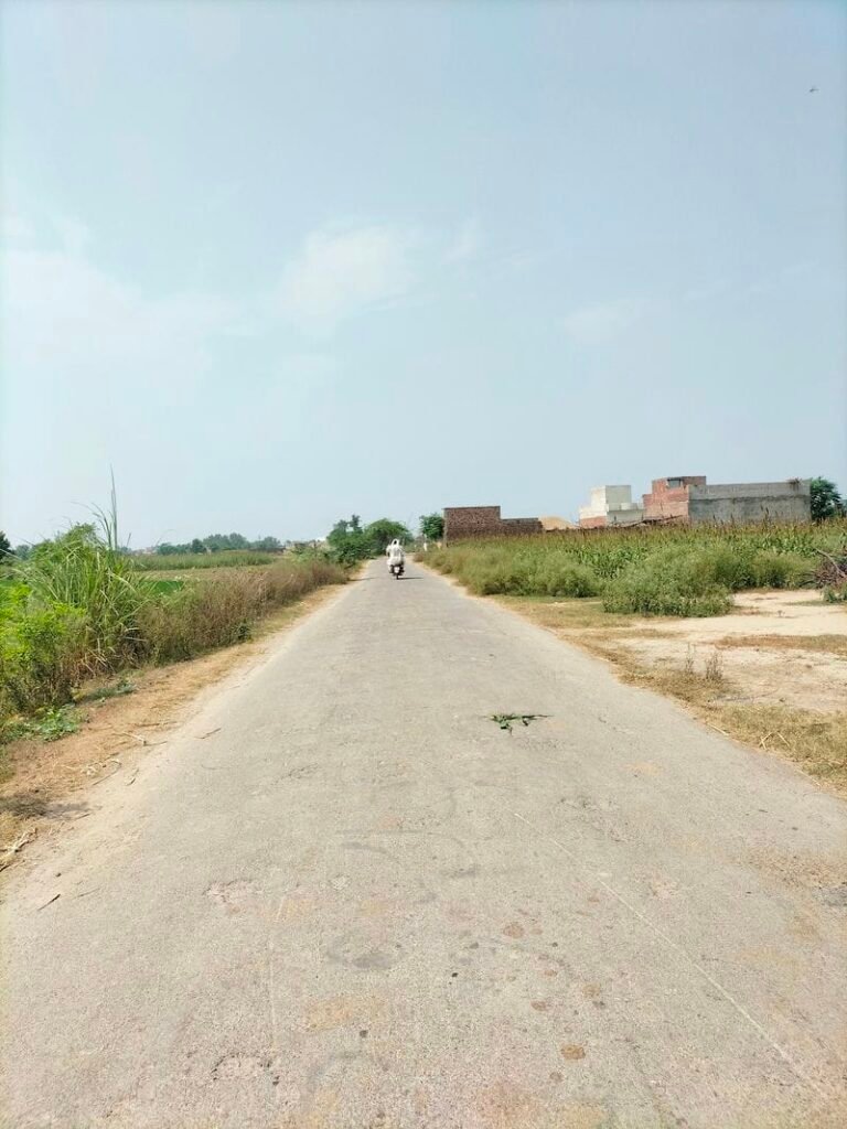
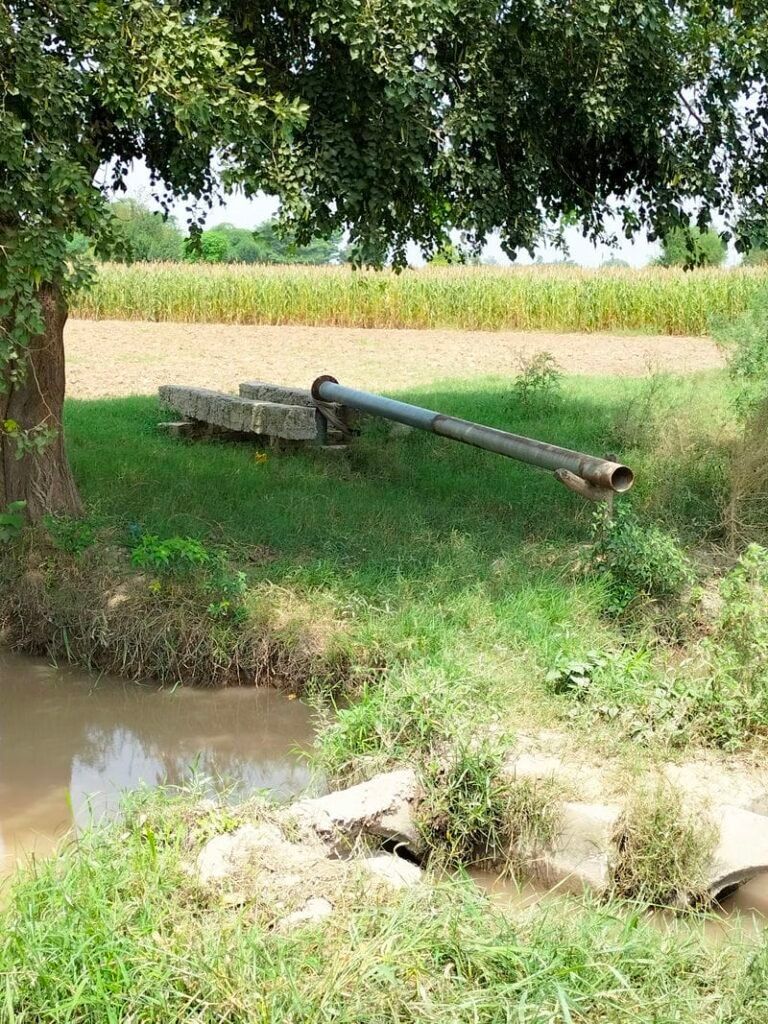
It is located in North of Kasur city about 9 kilometers away. This town is near to Ferozpur road which is about 1.7 kilometers away from it in its west. Rice, wheat and maize are one of the main crops cultivated in this area. This village has been provided electricity and it also has sui gas (Natural Gas) facility. Its latitude is 31.20269° or 31° 12′ 10″ north, while its longitude is 4.45725° or 74° 27′ 26″ east.
لکھنے کے یونین کونسل نمبر 07 (لکھنے کے)، تحصیل اور ضلع قصور، صوبہ پنجاب، پاکستان میں واقع ہے۔ اس کے آس پاس کے گاؤں وڈانہ، گرین کوٹ، کٹلوہی کلاں، نتھو والا اور نقیب آباد ہیں۔ یہ قومی اسمبلی کے حلقہ این اے 137 اور صوبائی اسمبلی کے حلقہ پی پی 175 میں آتا ہے۔ لکھنے کے قصور شہر کے شمال میں تقریباً 9 کلومیٹر کے فاصلے پر واقع ہے۔ یہ فیروز پور روڈ کے بالکل قریب ہے جو اس کے مغرب میں اس سے تقریباً 1.7 کلومیٹر دور ہے۔ چاول، گندم اور مکئی اس علاقے میں کاشت کی جانے والی اہم فصلوں میں سے ایک ہیں۔ اس گاؤں کو بجلی فراہم کی گئی ہے اور اس میں سوئی گیس (قدرتی گیس) کی سہولت بھی ہے۔ اس کا عرض بلد 31.20269° یا 31° 12′ 10″ شمال ہے، جبکہ اس کا طول البلد 4.45725° یا 74° 27′ 26″ مشرق ہے۔
Population Of Lakhne Kay:
As per 2017 census (مردم شماری), Lakhne kay population comprises of 12900 persons. Its literacy rate is 57.39 percent.
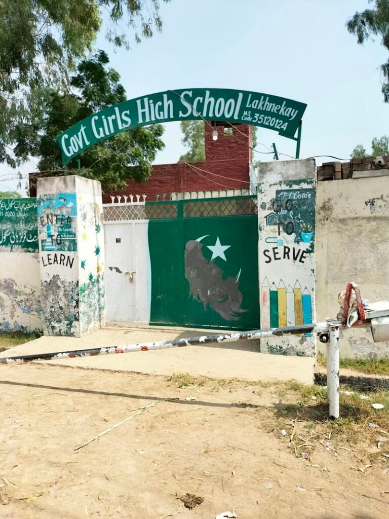
Schools in Lakhne kay:
There are following two Government Schools in Lakhne kay:
- Government High School (GHS) Lakhnay kay. Its EMIS code is 35120016.
- Government Girls High School (GGHS) Lakhnay kay. Its EMIS code is 35120124.
Health Centre in Lakhne ke:
There is no basic health unit in Lakhneke inspite of its being a union council. Its nearest main hospital is Bulleh shah hospital/ DHQ hospital Kasur which is about 9.5 kilometers away from it in its south.