
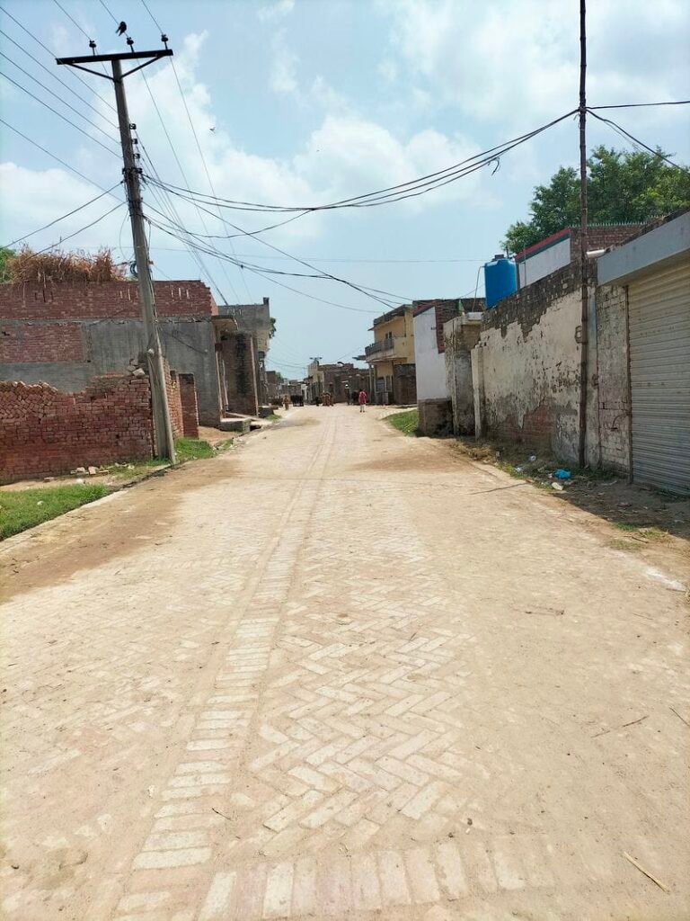
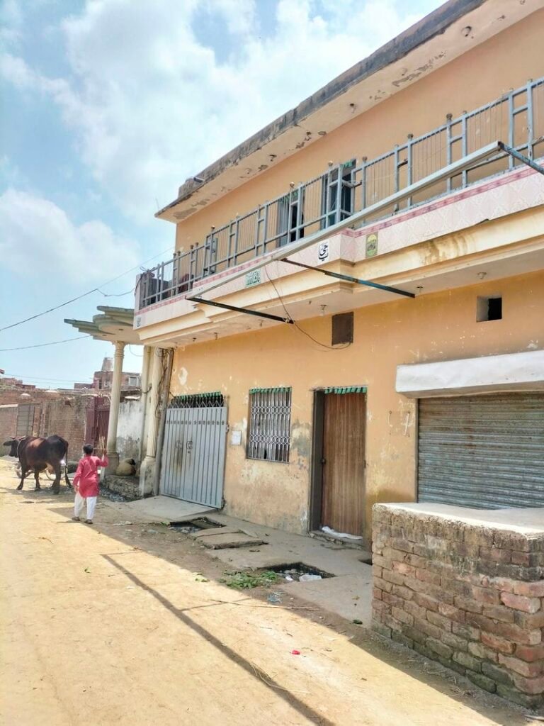
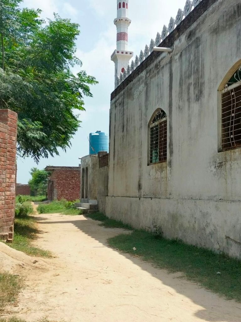
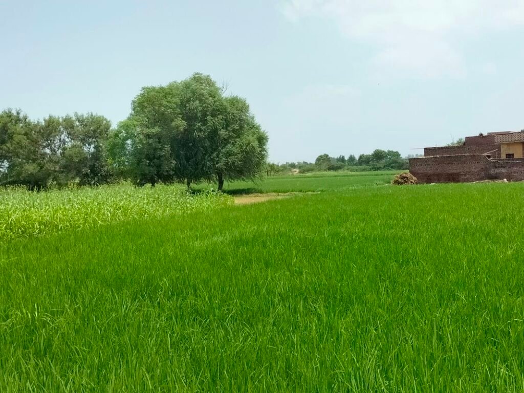
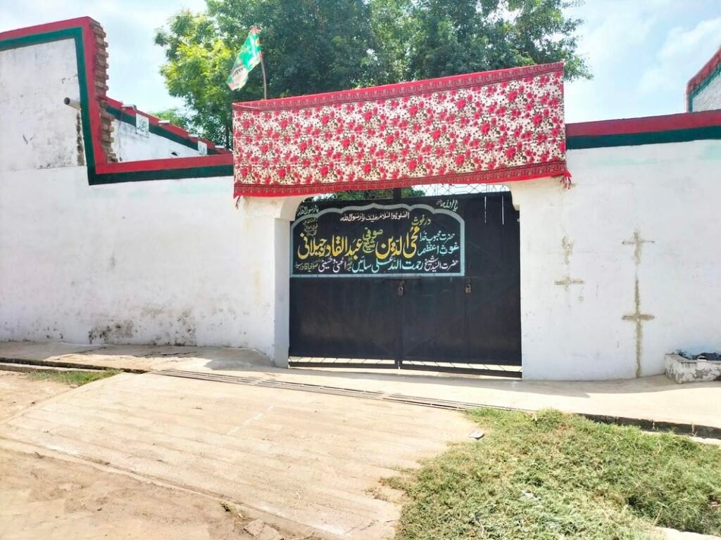
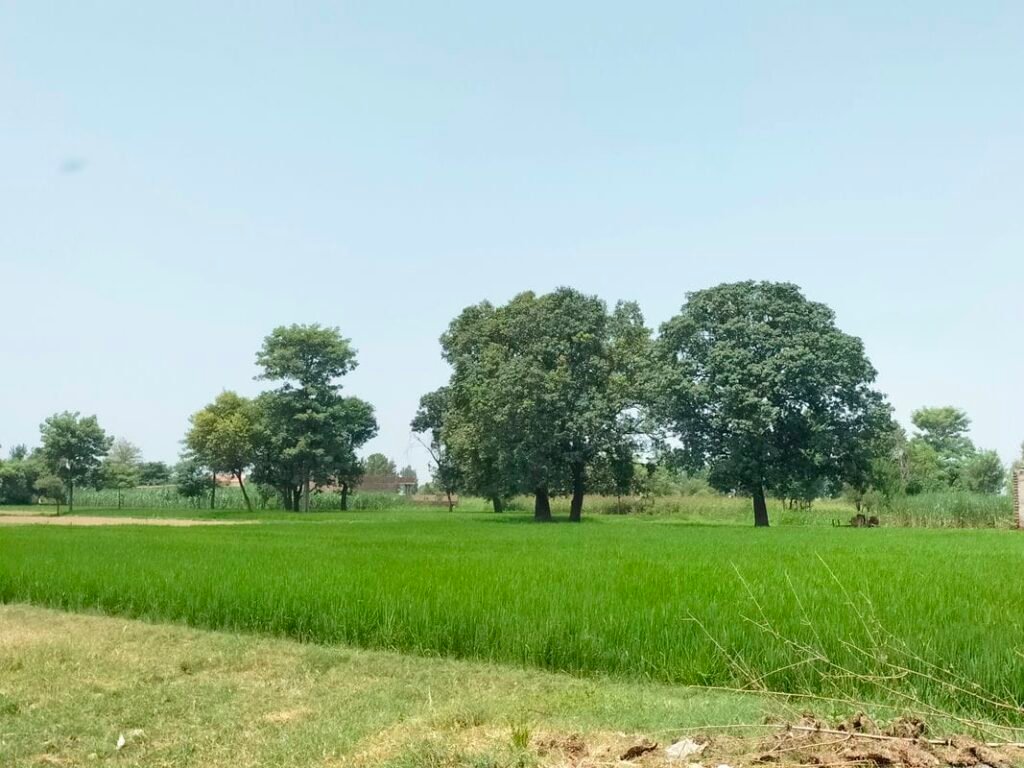
Wadara is a village which is situated in Union Council no 07 (Lakhne Kay), Tehsil & District Kasur, Province Punjab, Pakistan. Its surrounding villages are Katlohi khurd, Rahim Abad, Jewan Singh wala, Amrik Singh wala, Ibrahim Abad and Wehgal. It comes in National Assembly constituency NA-137 and Provincial Assembly constituency PP-175.
It is located in northeast of kasur city about 16 kilometers away. Its nearby main town is Mustafa Abad (Lalyani) which lies about 11 kilometers north west of this village. Electricity has been provided to this village. Rice, Wheat and maize are one of the main crops cultivated in Wadara. Its latitude is 31.23333° or 31° 14′ north, while its longitude is 74.49422° or 74° 29′ 39″ east.
وڈارہ گاؤں یونین کونسل نمبر 07 (لکھنے کے)، تحصیل اور ضلع قصور، صوبہ پنجاب، پاکستان میں واقع ہے۔ اس کے آس پاس کے دیہات کٹلوہی خورد، رحیم آباد، جیون سنگھ والا، امرک سنگھ والا، ابراہیم آباد اور وہگل ہیں۔ یہ قومی اسمبلی کے حلقہ این اے 137 اور صوبائی اسمبلی کے حلقہ پی پی 175 میں آتا ہے۔ یہ قصور شہر کے شمال میں تقریباً 13 کلومیٹر کے فاصلے پر واقع ہے۔ اس گاؤں کو بجلی فراہم کی گئی ہے۔ چاول، گندم اور مکئی وڈارا میں کاشت کی جانے والی اہم فصلوں میں سے ایک ہیں۔ اس کا عرض بلد 31.23333° یا 31° 14′ شمال ہے، جبکہ اس کا طول البلد 74.49422° یا 74° 29′ 39″ مشرق ہے۔
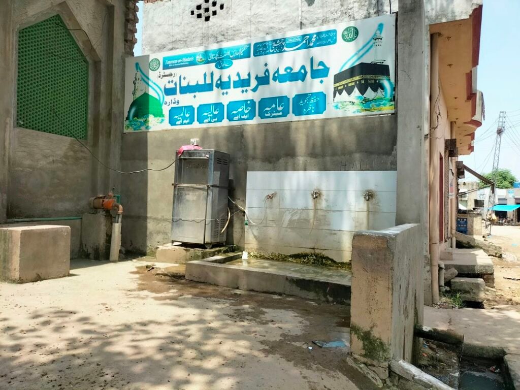
Schools in Wadara:
There are following two Government schools in Wadara:
- Government Primary School (GPS). Its EMIS code is 35120262.
- Government Girls Primary School (GGPS). Its EMIS code is 35120905.
Health Center in Wadara:
There is no health center in this village. Nearest basic health unit is located in village Green Kot. While nearest rural health center is located in Mustafa Abad (Lalyani).