
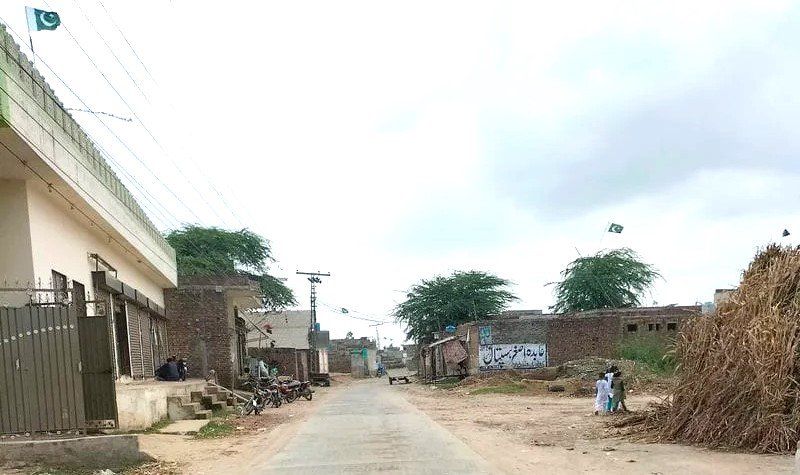
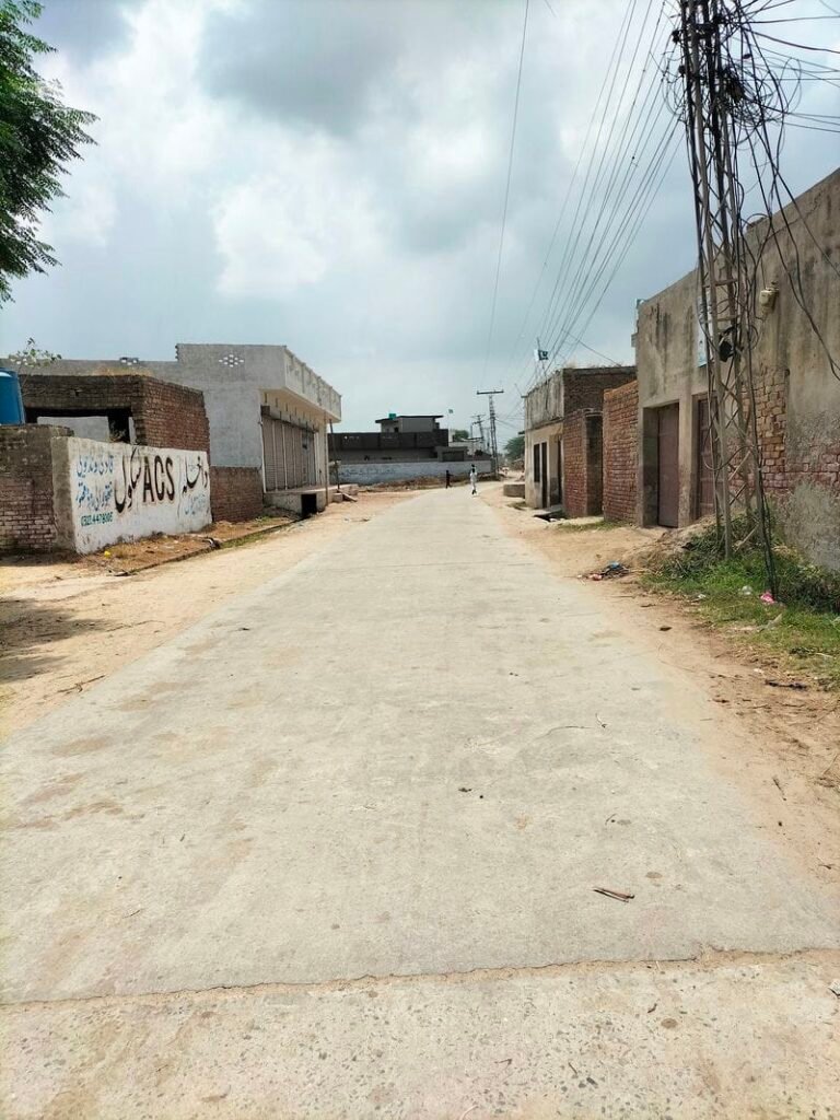
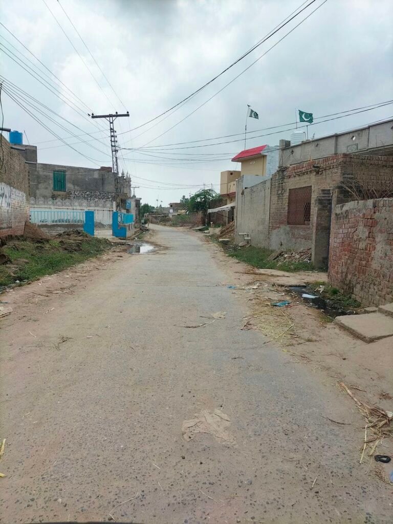
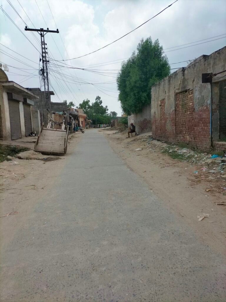
Tergay is a village which is situated in union council no 08 (Qadi wind), Tehsil and District kasur, Province Punjab, Pakistan. Its surrounding villages are Nathu wala, Qadiwind, Wern and Ballan Wala. Mewati and Punjabi are most spoken languages while Mayo is the main caste of this village. It is also called as “Targa”. It comes in National Assembly constituency NA-137 and Provincial Assembly constituency PP-175. Tergay is located six kilometers north east of Kasur city.
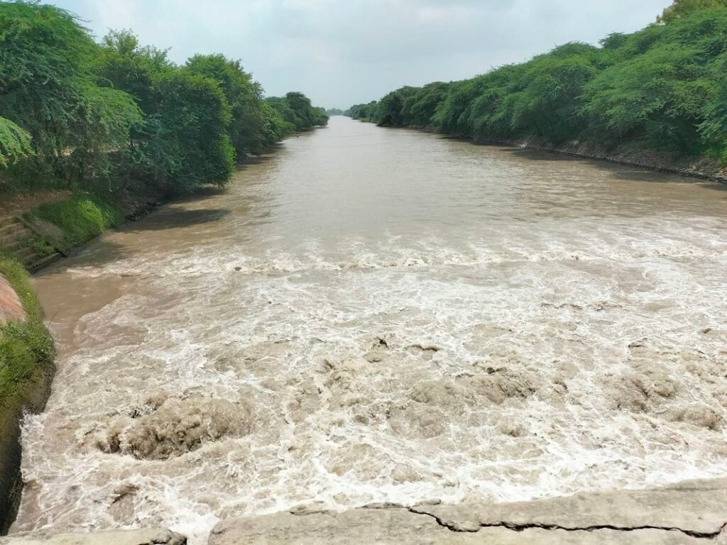
Wheat, rice and maize are one of the main crops cultivated in this area. It is very close to Pakistan India border. BRB canal is situated on its east. There is an old Gurdwara of Jhari sahib in this village. Electricity has been provided to this village. Its latitude is 31.17846° or 31° 10′ 43″ north, while its longitude is 74.49553° or 74° 29′ 44″ east.
ترگے گاؤں تحصیل اور ضلع قصور، صوبہ پنجاب، پاکستان میں واقع ہے۔ اس کے آس پاس کے گاؤں نتھو والا، قادی ونڈ، ورن اور بالاں والا ہیں۔ یہ قومی اسمبلی کے حلقہ این اے 137 اور صوبائی اسمبلی کے حلقہ پی پی 175 میں آتا ہے۔ ترگے قصور شہر کے شمال مشرق میں تقریباً 6 کلومیٹر کے فاصلے پر واقع ہے۔ گندم، چاول اور مکئی اس علاقے میں کاشت کی جانے والی اہم فصلوں میں سے ایک ہیں۔ یہ پاک بھارت سرحد کے بہت قریب ہے۔ بی آر بی نہر اس کے مشرق میں واقع ہے۔ اس کا عرض بلد 31.17846° یا 31° 10′ 43″ شمال ہے، جبکہ اس کا طول البلد 74.49553° یا 74° 29′ 44″ مشرق ہے۔

Schools in Tergay:
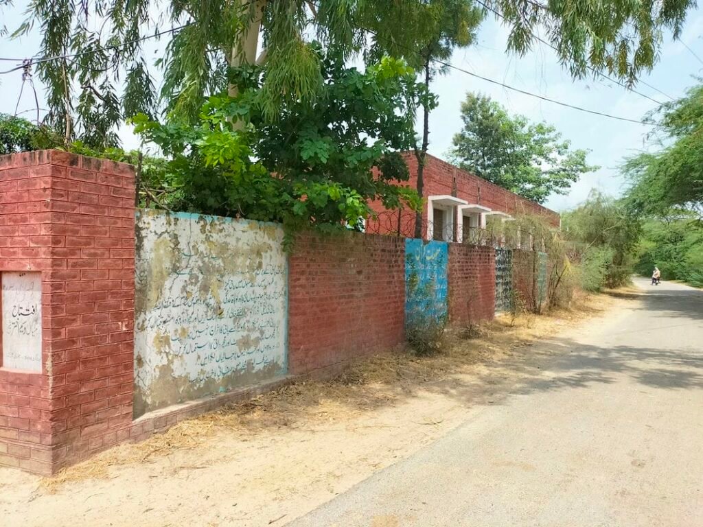
There is one Government primary school (GPS) in Tergay village. Its EMIS code is 35120233. It was established in 1971. Its area is 2 Kanal 13 Marla.

Is there any health center in Terga?
There is no health center in Targay village. Nearest Basic health unit is situated in Qadi wind. While Bulleh Shah hospital( DHQ hospital kasur) is 6 kilometers away from Tergay.