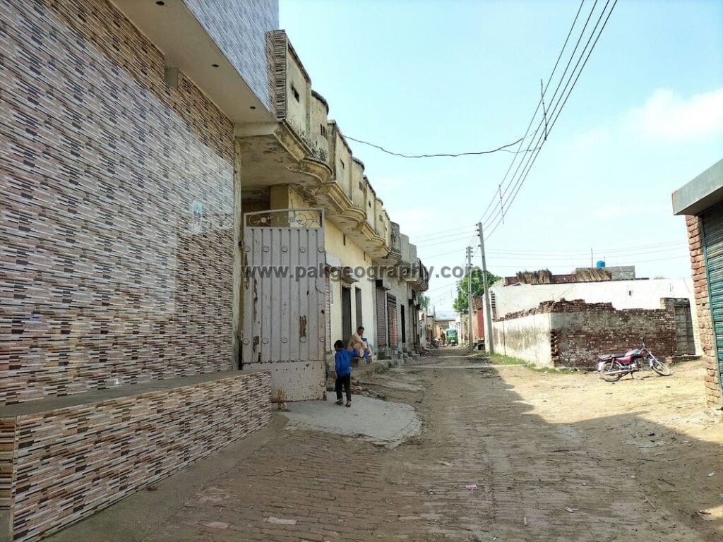
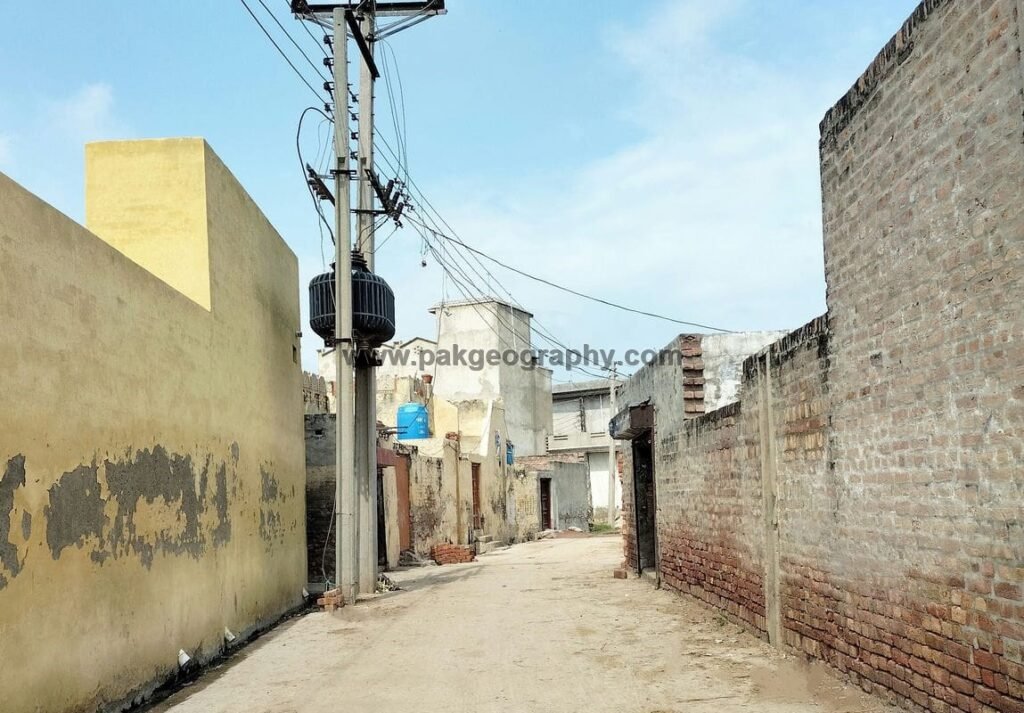
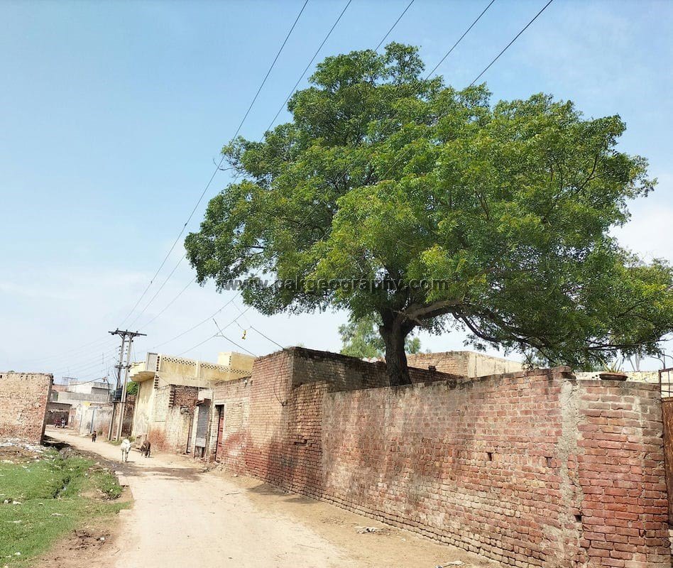
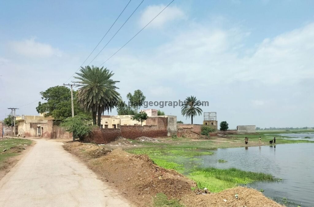
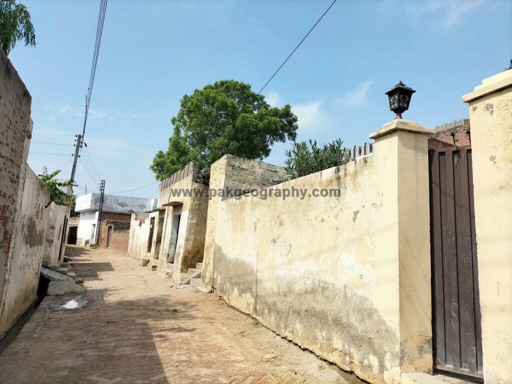
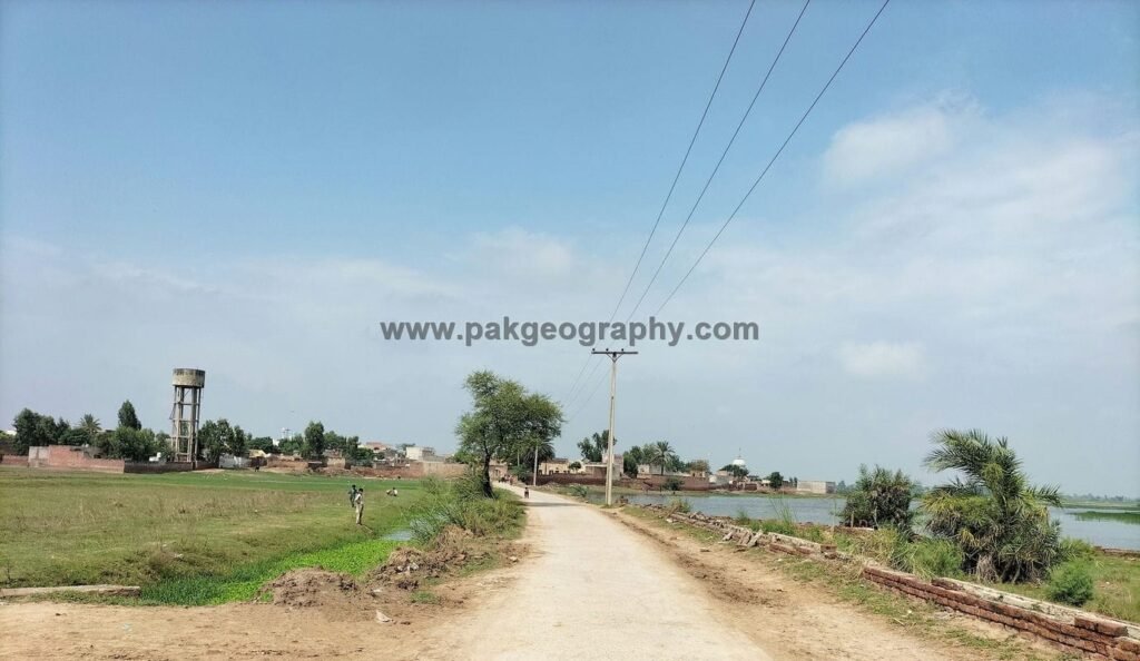
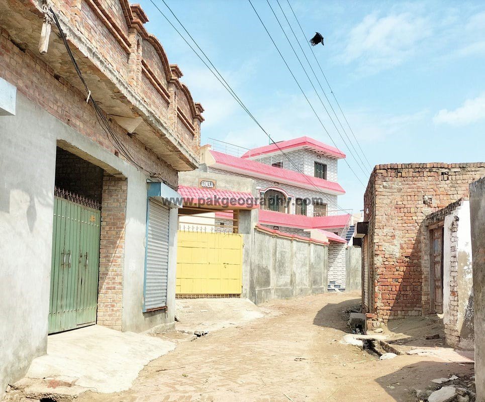
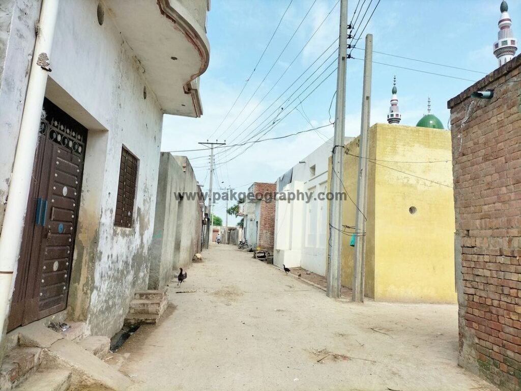
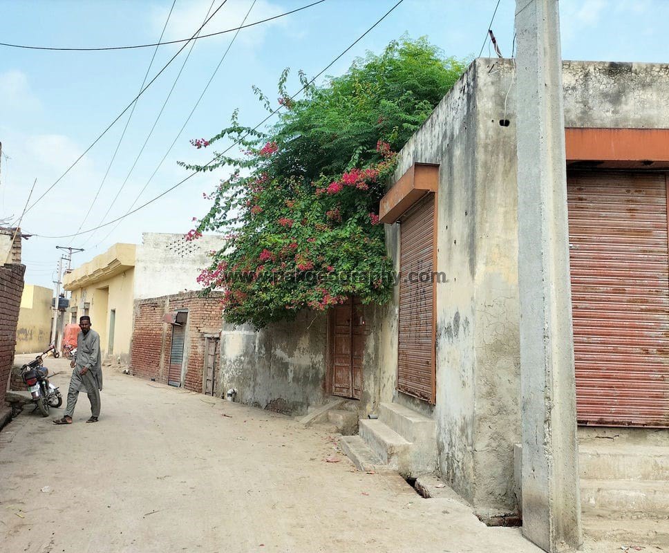
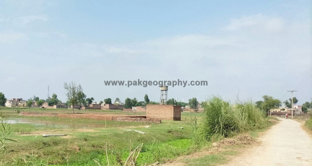
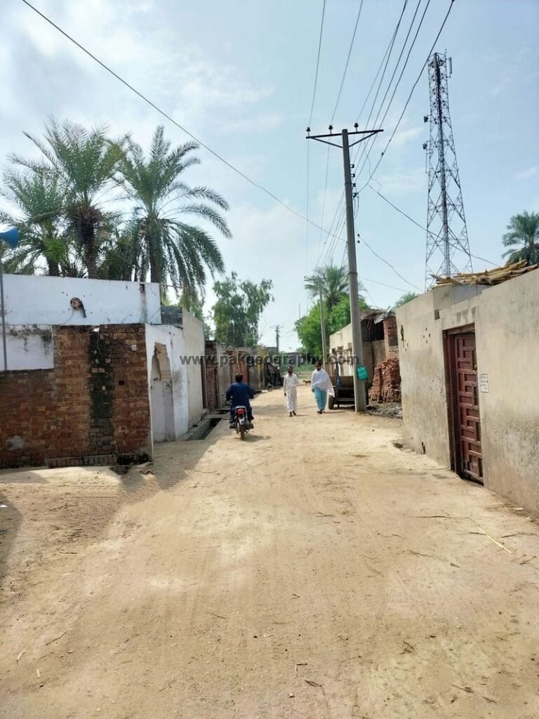
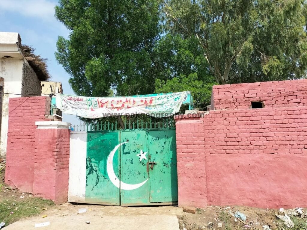
Sattoki is a village situated in Union Council no 02 (Mir Muhammad), Tehsil & District Kasur, Province Punjab, Pakistan. It is also spelled as “Satto Ki” and “Satu Ki”. Its nearby settlements are Mir Muhammad, Chak Daida, Ladheke, Daftu, Orara and Rao Khan Wala. It is located in North West of District headquarter Kasur about 19 kilometers away. Punjabi is the most spoken language of this village. Most of the people of Sattoki belong to Rajput Bhatti caste. Its literacy rate is 52 percent. There is a Government water tank in this village through which drinking water is supplied to its inhabitants. Its latitude is 31.23902° or 31° 14′ 21″ north, while its longitude is 74.33432° or 74° 20′ 4″ east.
ستو کی ایک گاؤں ہے جو یونین کونسل نمبر 02 (میر محمد)، تحصیل اور ضلع قصور، صوبہ پنجاب، پاکستان میں واقع ہے۔ اس کے آس پاس کے دیہات میر محمد، چک دیدہ، لدھیکے، دفتو، اوراڑہ اور راؤ خان والا ہیں۔ یہ ڈسٹرکٹ ہیڈ کوارٹر قصور کے شمال مغرب میں تقریباً 19 کلومیٹر کے فاصلے پر واقع ہے۔ پنجابی اس گاؤں کی سب سے زیادہ بولی جانے والی زبان ہے۔ ستوکی کے زیادہ تر لوگ راجپوت بھٹی ذات سے تعلق رکھتے ہیں۔ گاؤں کی شرح خواندگی 52 فیصد ہے۔ اس گاؤں میں ایک سرکاری پانی کی ٹینکی ہے جس کے ذریعے یہاں کے باشندوں کو پینے کا پانی فراہم کیا جاتا ہے۔ اس کا عرض بلد 31.23902° یا 31° 14′ 21″ شمال ہے، جبکہ اس کا طول البلد 74.33432° یا 74° 20′ 4″ مشرق ہے۔

Population of Sattoki:
As per 2017 census, population of Sattoki comprises of about 8163 persons, out of this 4201 persons are male while 3962 are females.
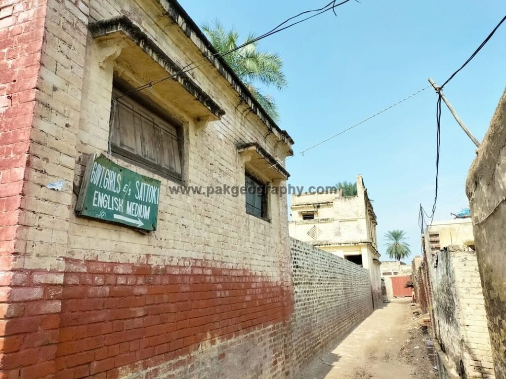
Schools in Sattoki:
There are following two schools in Satto ki:
- Government Girls High School (GGHS). Its EMIS code is 35120117.
- Government Elementary School (GES). Its EMIS code is 35120072.
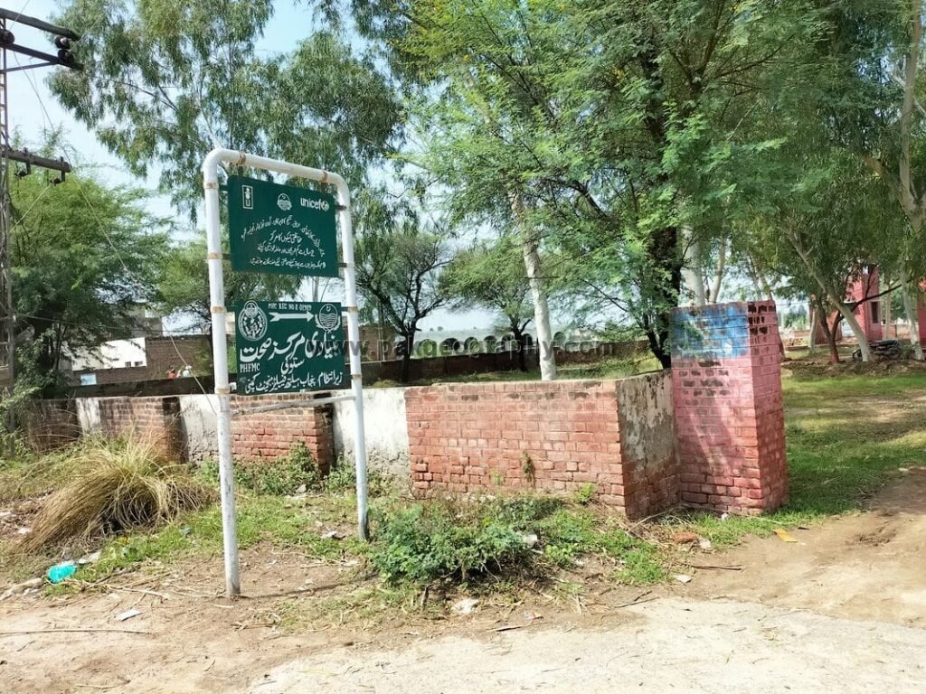
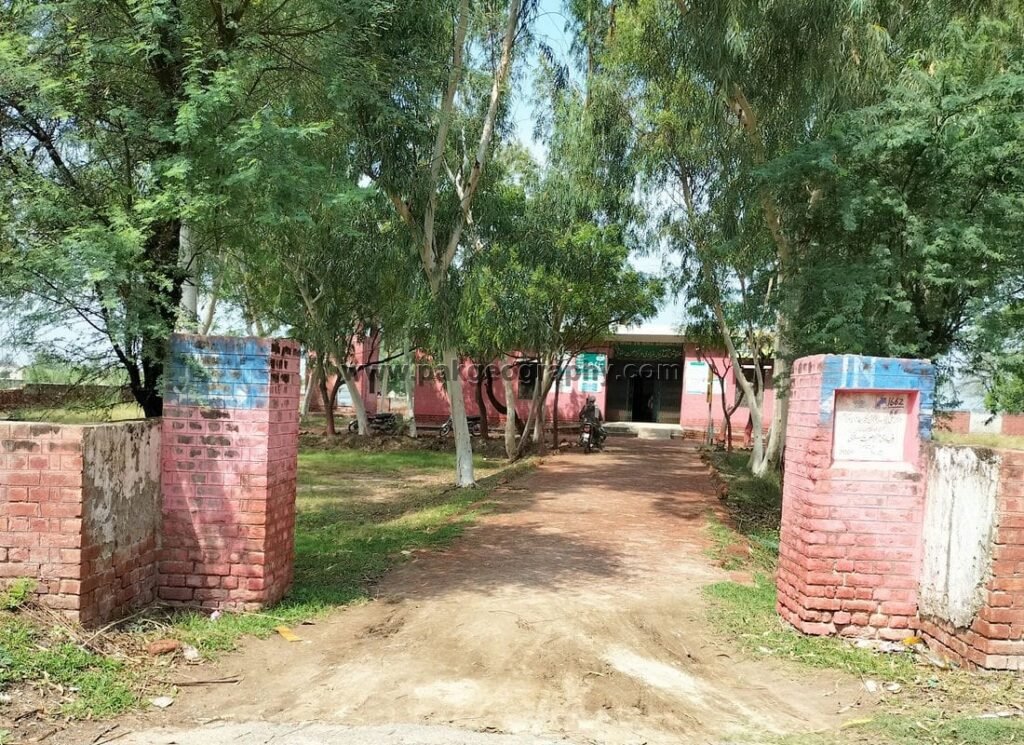
Health Center in this village:
There is one Basic Health Unit (BHU) in Sattoki. Nearest Rural health center is located in Raja Jang about 9 kilometers west.