
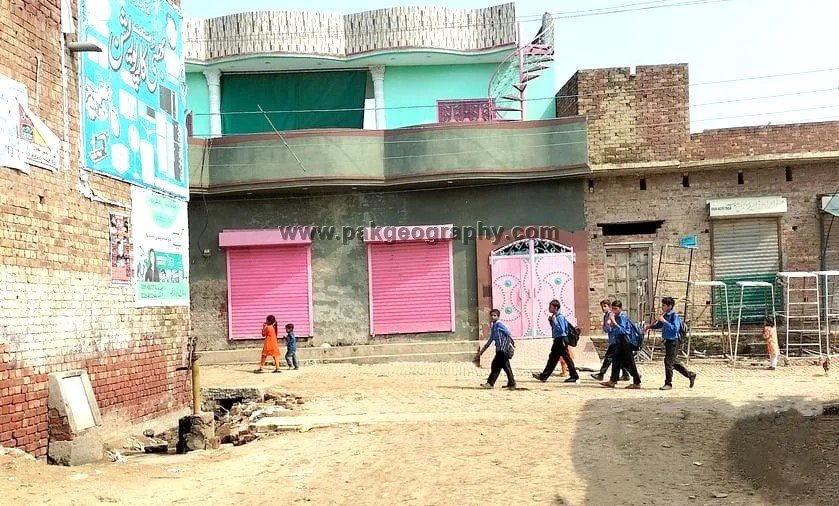
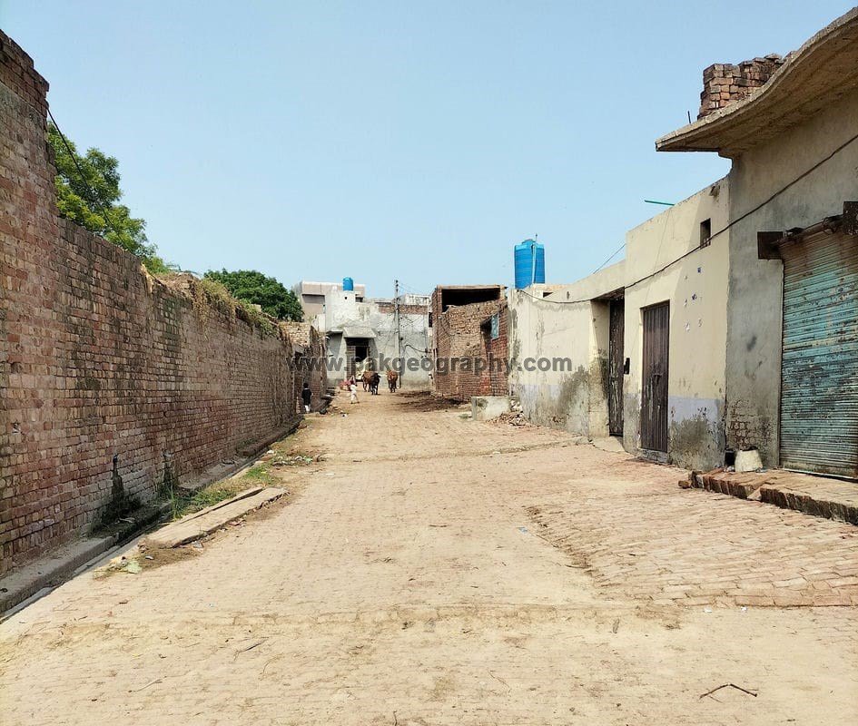
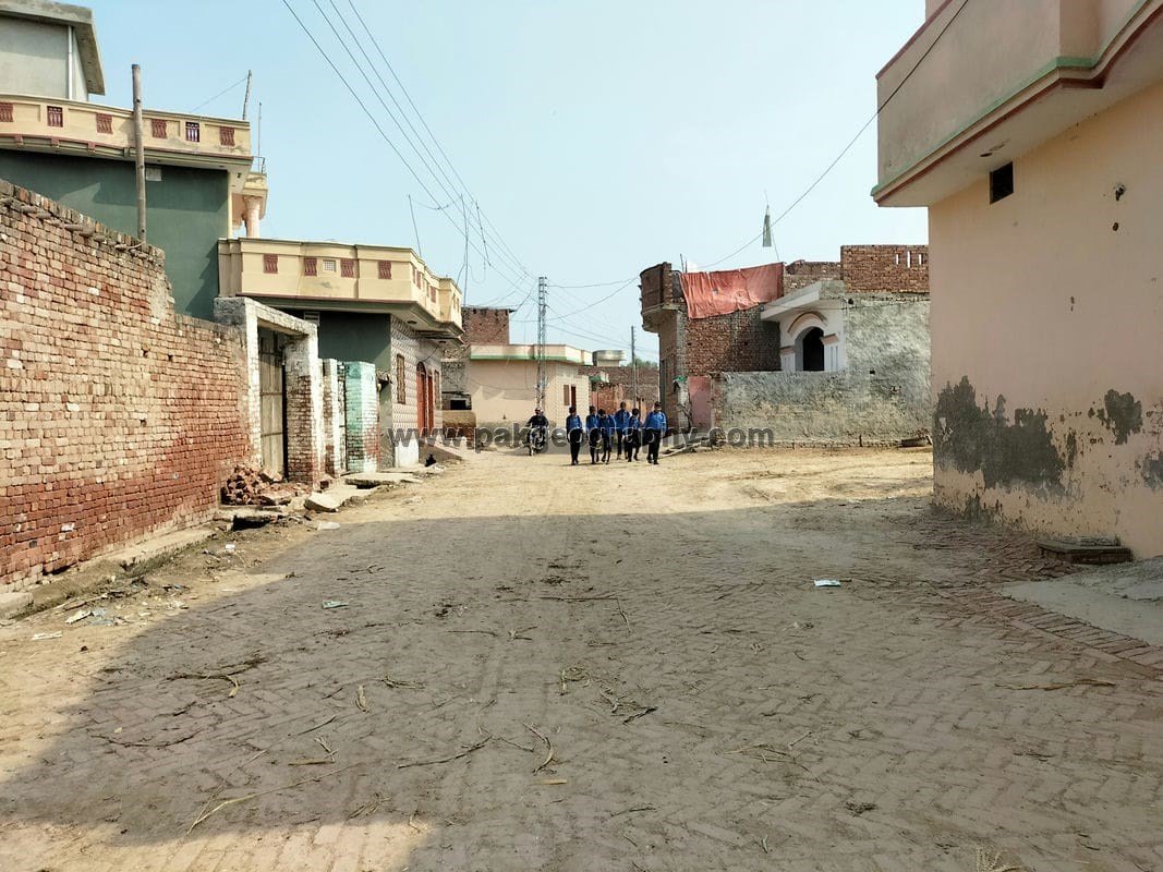
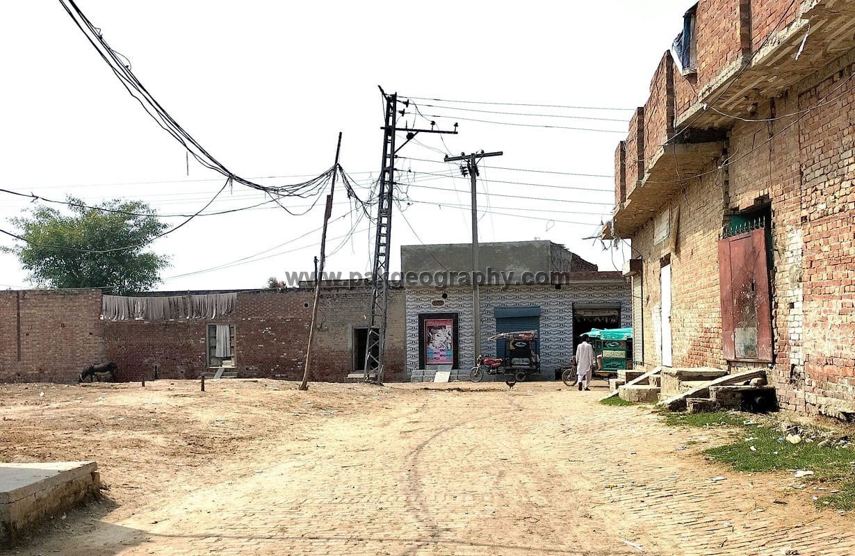
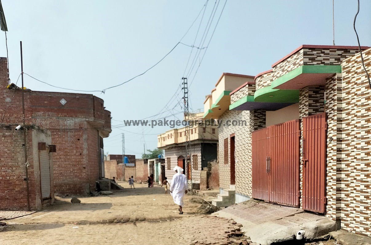
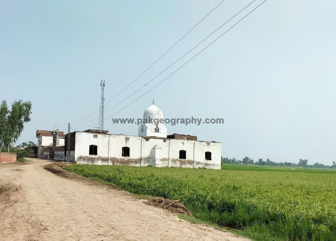
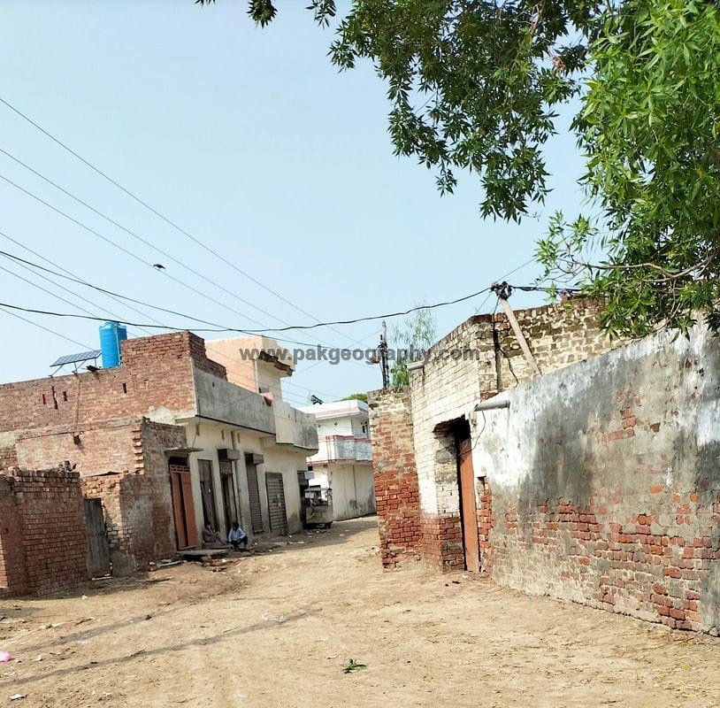
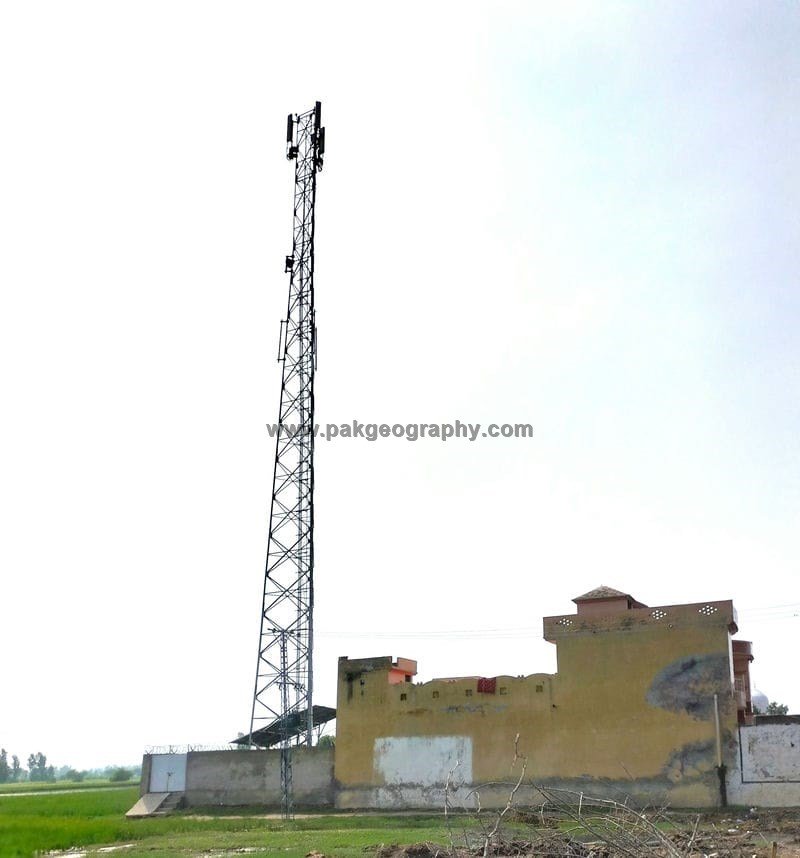
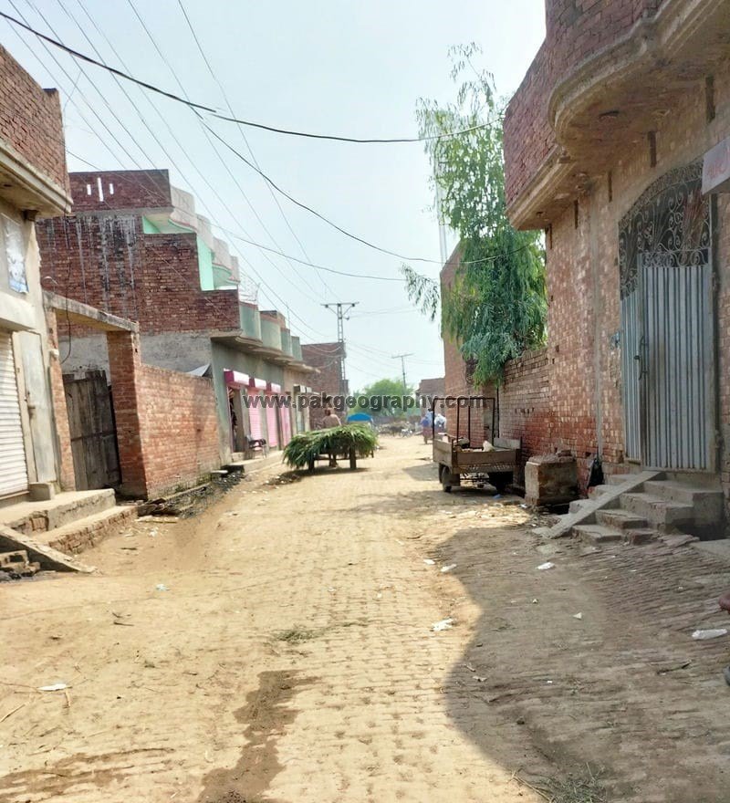
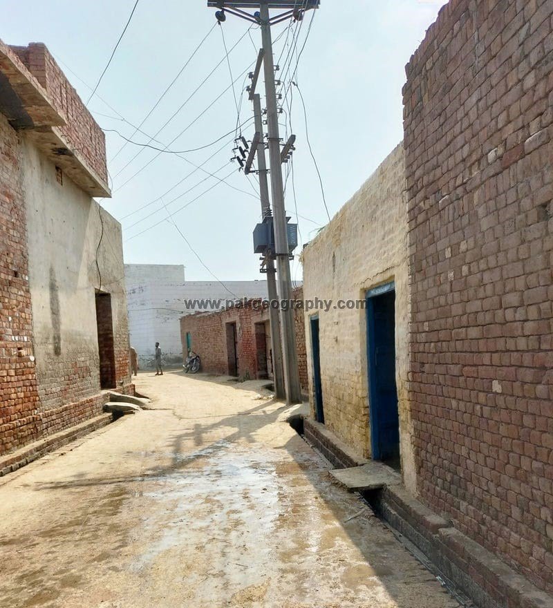
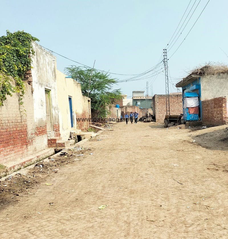
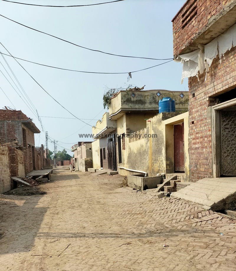
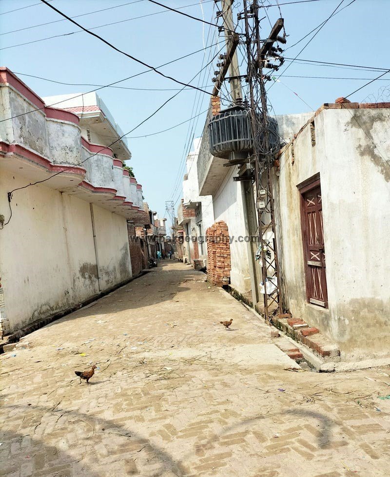
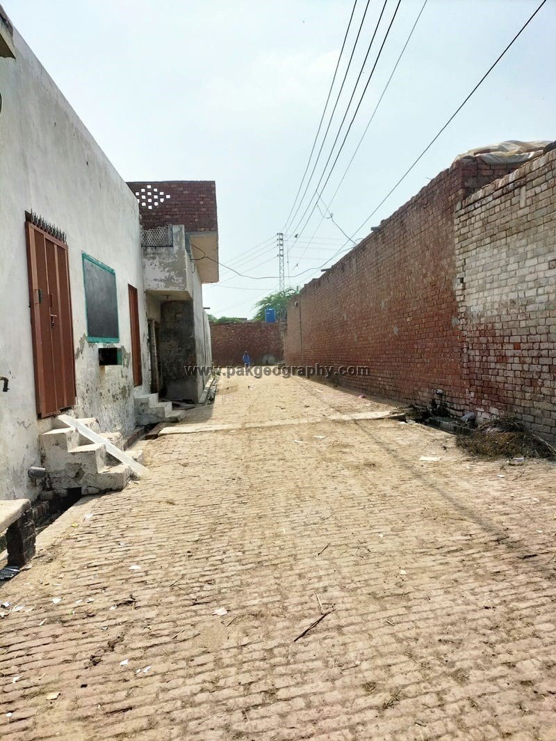
Orara is a village situated in union council no 11 (Orara), Tehsil and District Kasur, Province Punjab, Pakistan. It is also spelled as “Aurara“. Its nearby villages are Rao Khan Wala, Mir Muhammad, Sattoki, Basti Jamal Din, Haveli Khushal Sing and Jabbo Mail. It is located in North West of District headquarter Kasur about 13 kilometers away. Most of its residents belong to Rajput and Malik Caste. Punjabi is one of the most spoken languages of this town. This village has been provided electricity. Rice and wheat are one of the most cultivated crops of this area. Its area comprises of 4475 Acres. Its latitude is 31.19931° or 31° 11′ 58″ north, while its longitude is 74.36263° or 74° 21′ 46″ east.
اوراڑہ ایک گاؤں ہے جو یونین کونسل نمبر 11 (اوراڑہ)، تحصیل اور ضلع قصور، صوبہ پنجاب، پاکستان میں واقع ہے۔ اس کے آس پاس کے گاؤں راؤ خان والا، میر محمد، ستوکی، بستی جمال دین، حویلی خوشحال سنگ اور جبو میل ہیں۔ یہ ڈسٹرکٹ ہیڈ کوارٹر قصور کے شمال مغرب میں تقریباً 13 کلومیٹر کے فاصلے پر واقع ہے۔ اوراڑہ کے زیادہ تر لوگ راجپوت اور ملک ذات سے تعلق رکھتے ہیں۔ پنجابی اس گاؤں کی سب سے زیادہ بولی جانے والی زبانوں میں سے ایک ہے۔ اس گاؤں کو بجلی فراہم کی گئی ہے۔ چاول اور گندم اوراڑہ گاؤں میں سب سے زیادہ کاشت کی جانے والی فصلوں میں سے ایک ہیں۔ اس کا عرض بلد 31.19931° یا 31° 11′ 58″ شمال ہے، جبکہ اس کا طول البلد 74.36263° یا 74° 21′ 46″ مشرق ہے۔
Population and literacy rate of Orara:
As per 2017 census, population of Orara comprises of 13392 persons, out of which 6863 persons are male, while 6529 are females. Its literacy rate is 57.6 percent. Male literacy rate is 66.8 percent, while literacy rate among females is 48 percent. Muslim population is 13081, while 311 persons of this town are non Muslims.
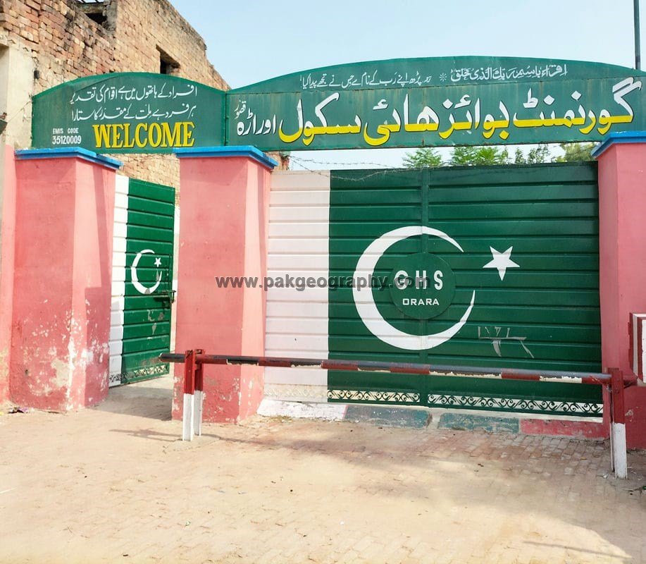
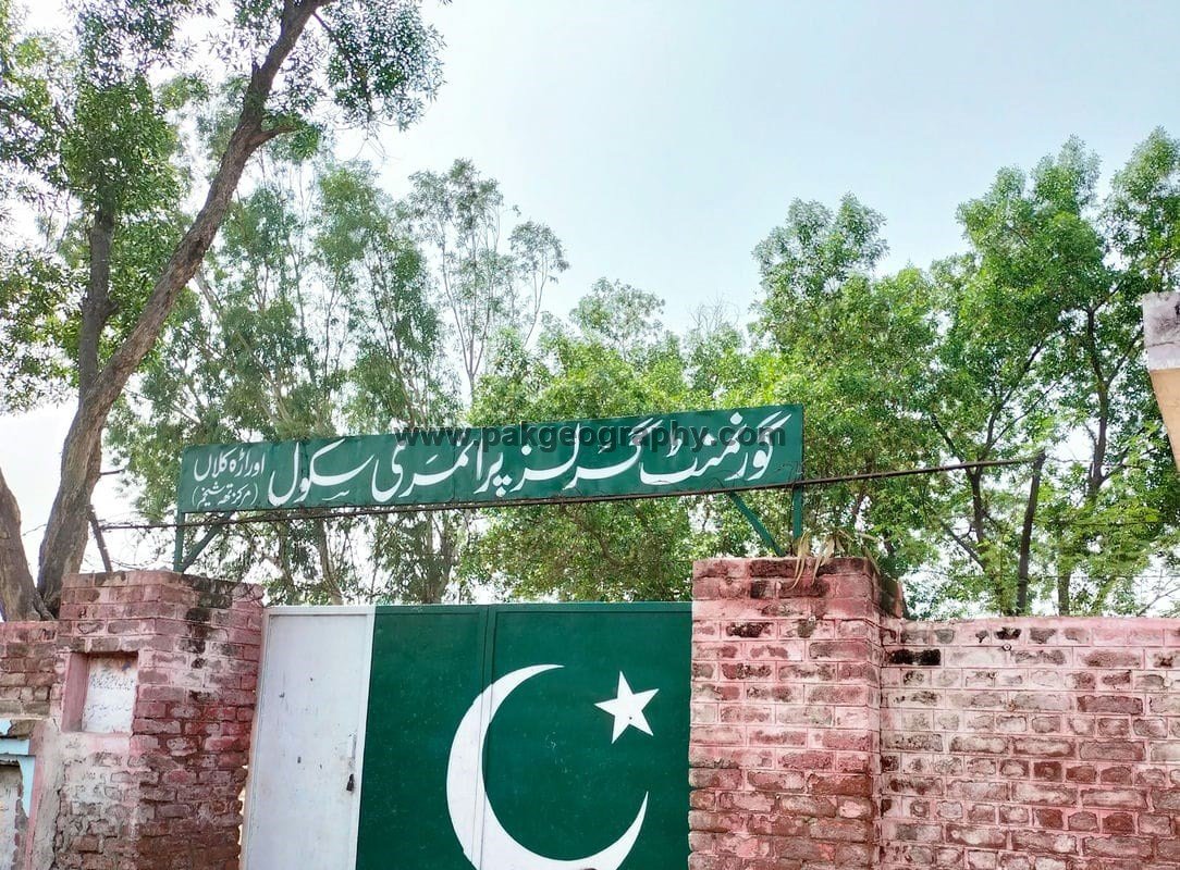
Schools in Orara:
There are following two Government schools in this village:
- Government High School (GHS). Its EMIS code is 35120009.
- Governement Girls Primary School (GGPS). Its EMIS code is 35120526.
Is there any health center in Aurara?
There is one Basic Health Unit (BHU) in Orara. Nearest Rural Health Center is located in Raja Jang about 13 kilometers in North west of this village.