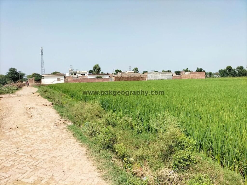
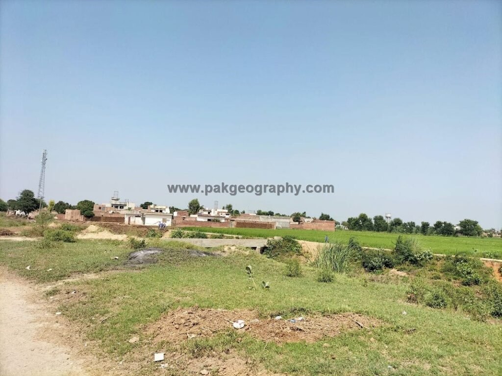
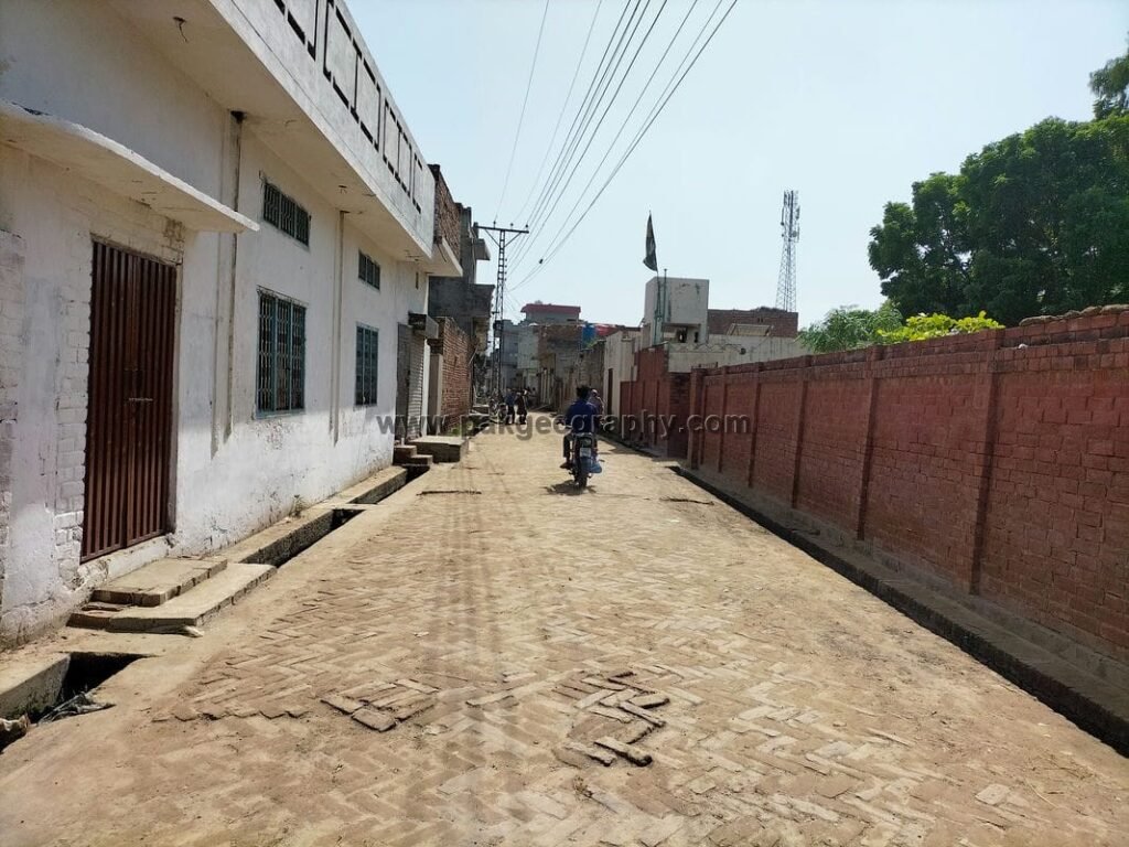
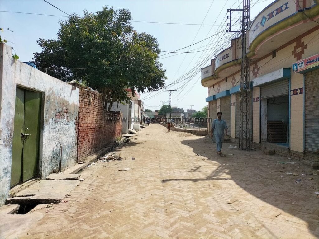
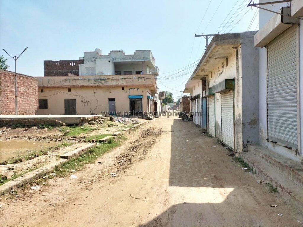
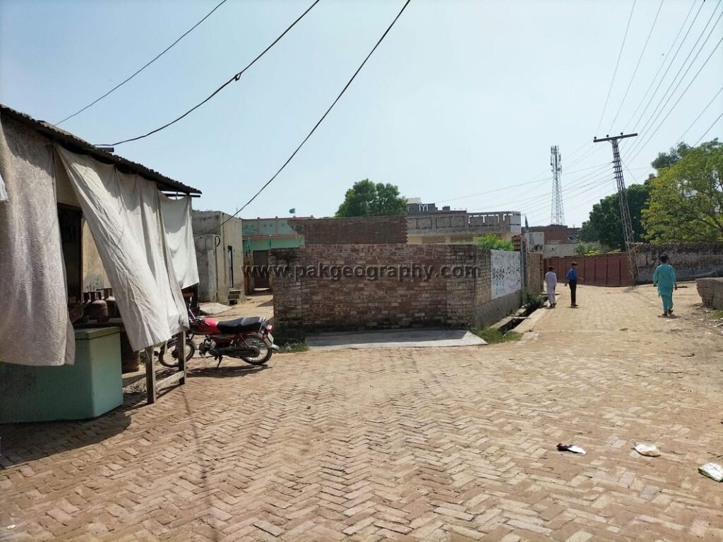
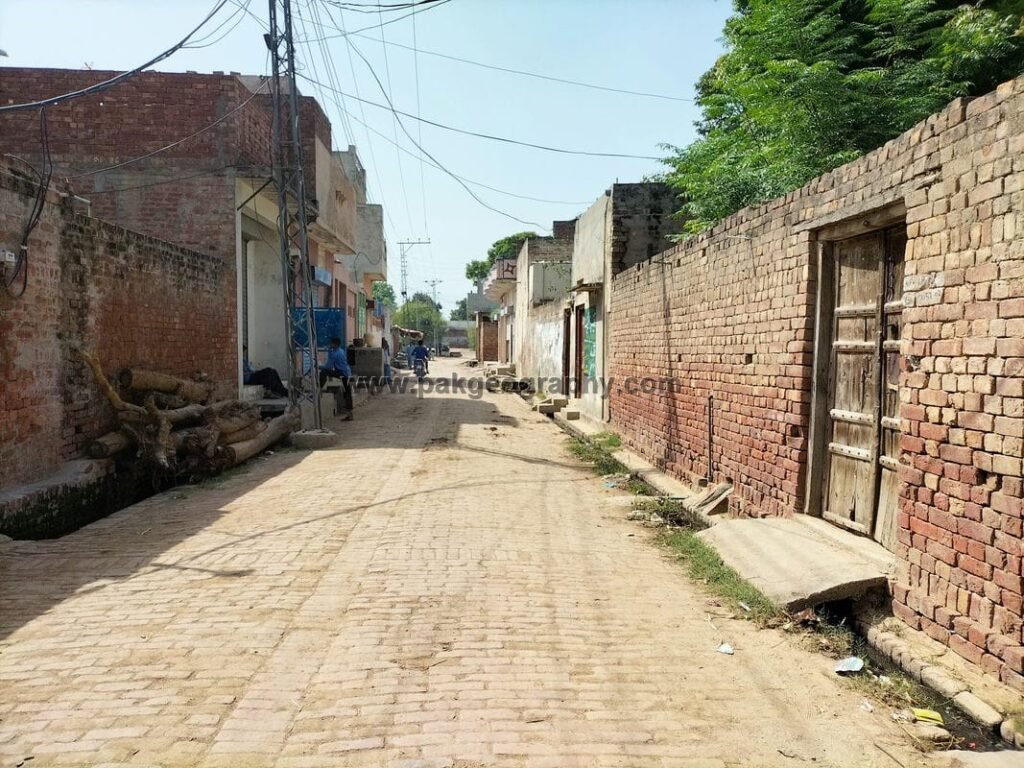
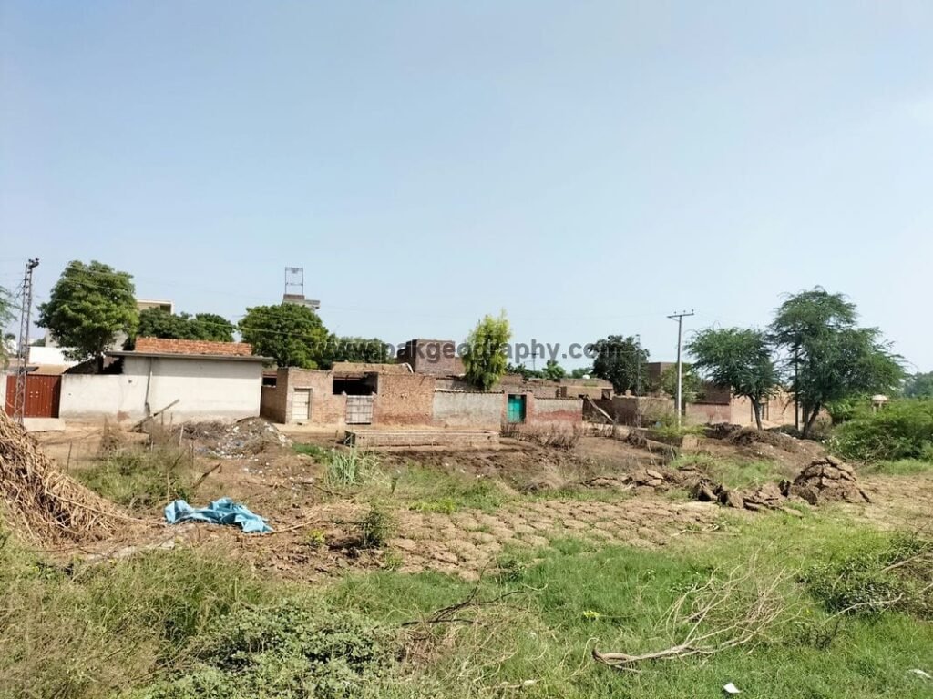
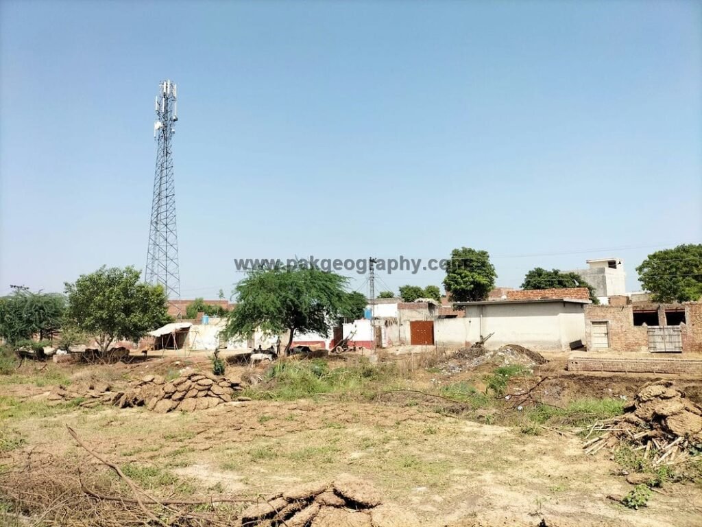
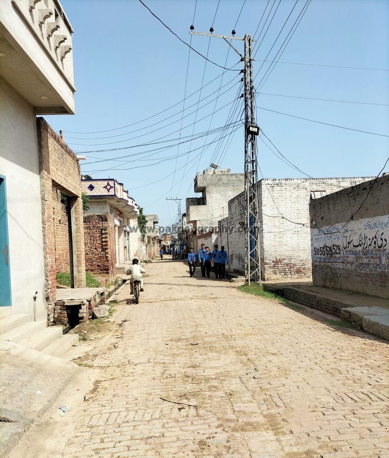
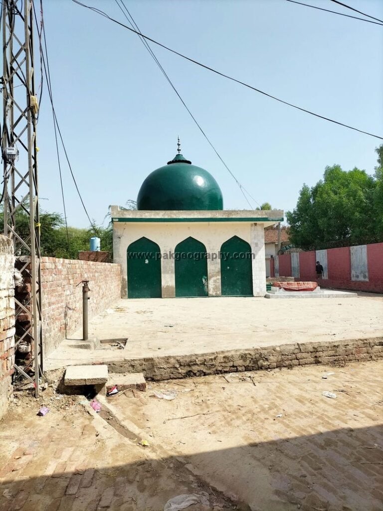
Chah Arur Singh is a village which is situated in Union Council no 14 (Hardo Sahari), Tehsil & District, Kasur, Province Punjab, Pakistan. Its surrounding villages are Haveli Balaka Singh, Tarkhana wali, Haveli Ramyana and Theh Sheikham. It is located in west of Kasur city about 11 kilometers away. Most of the people of Chah Arur Singh belong to Arain caste and Punjabi is the main speaking language of this village. Electricity has been provided to this village. Rice and wheat are the main crops cultivated in this area. Its latitude is 31.1443° or 31° 8′ 40″ north, while its longitude is 74.34982° or 74° 20′ 59″ east.
چاہ اروڑ سنگھ ایک گاؤں ہے جو یونین کونسل نمبر 14 (ہردو سہاری)، تحصیل اور ضلع قصور، صوبہ پنجاب، پاکستان میں واقع ہے۔ اس کے آس پاس کے گاؤں حویلی بالاکا سنگھ، ترکھان والی، حویلی رامیانہ اور تھہ شیخم ہیں۔ یہ قصور شہر کے مغرب میں تقریباً 11 کلومیٹر کے فاصلے پر واقع ہے۔ چاہ اروڑ سنگھ کے زیادہ تر لوگ آرائیں ذات سے تعلق رکھتے ہیں اور اس گاؤں کی اکثریتی زبان پنجابی ہے۔ اس گاؤں کو بجلی فراہم کی گئی ہے۔ اس علاقے میں چاول اور گندم سب سے زیادہ کاشت کی جانے والی فصلوں میں سے ایک ہیں۔ اس کا عرض بلد 31.1443° یا 31° 8′ 40″ شمال ہے، جبکہ اس کا طول البلد 74.34982° یا 74° 20′ 59″ مشرق ہے۔

Schools in Chah Arur Singh:
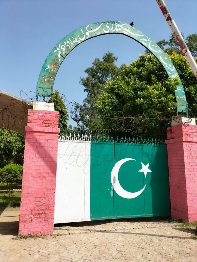
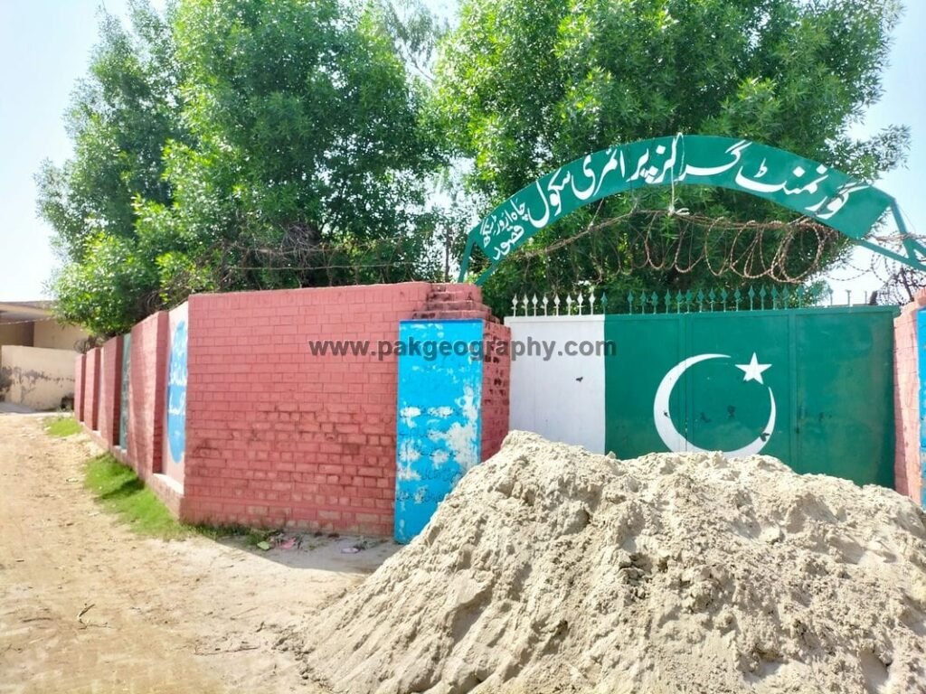
There are following two Government Schools in Chah Arur Singh:
- Government Higher Secondary Schools GHSS. Its EMIS code is 35120012.
- Government Girls Primary School GGPS: Its EMIS code is 35120493.
Is there any health center in this village?
There is no Basic health unit in Chah Arur Singh. Nearest main private hospital namely Bhatti teaching hospital is situated in east of this village about 10 kilometers away. While District headquarter hospital DHQ/ Bulleh shah hospital is located in its east about 12 kilometers away.
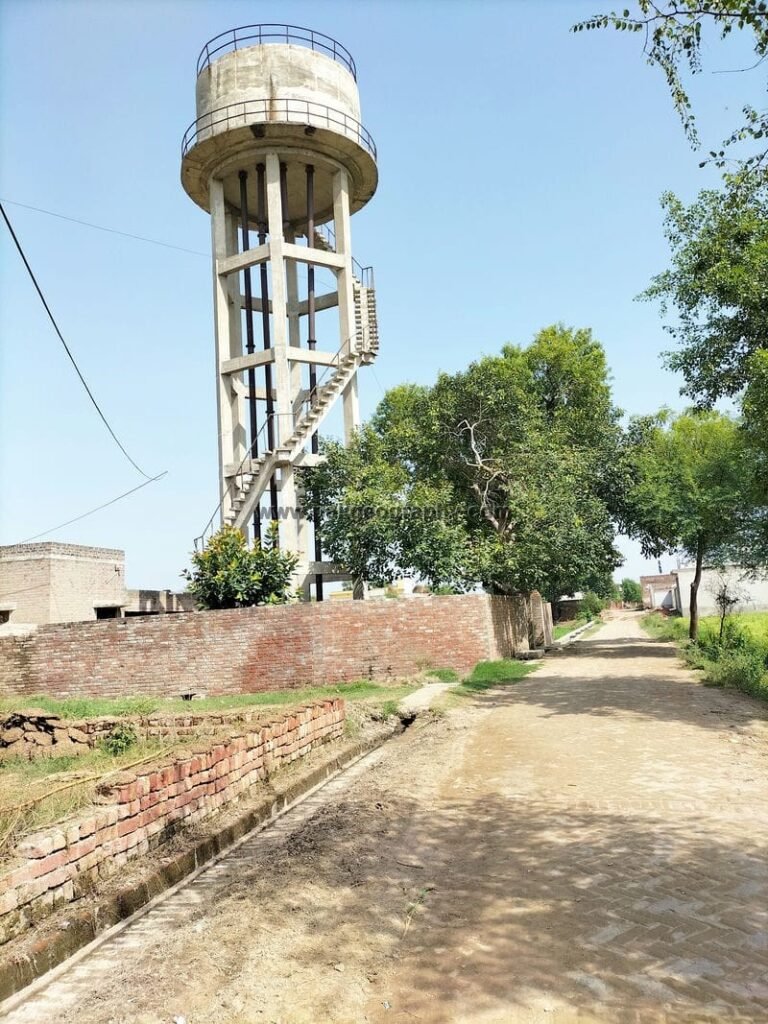
Water supply in Chah Arur singh:
There is one Government water tank in this village through which drinking water is supplied to the residents of this village.