
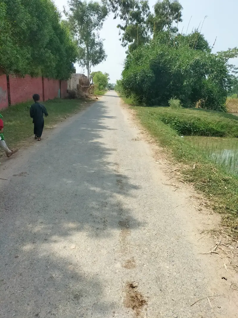
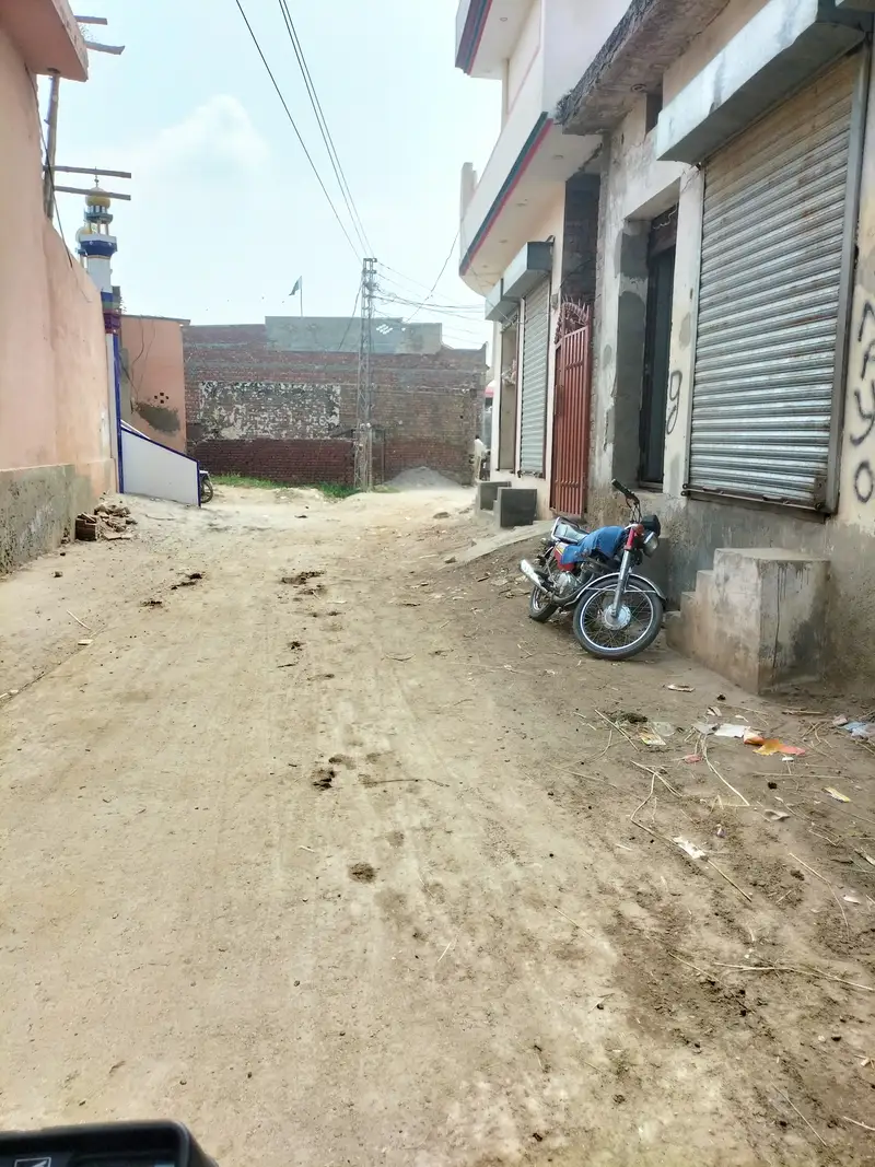
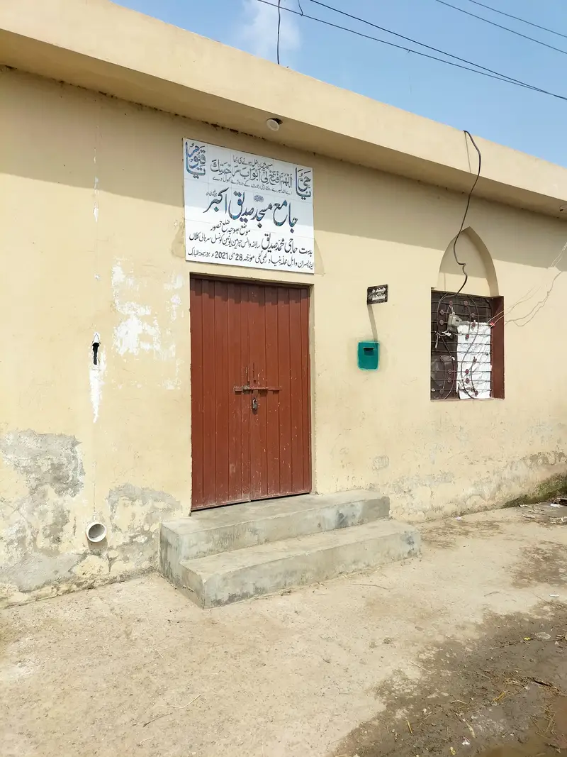
Bhoja village is situated in union council no 04, Tehsil & District, Kasur, Province Punjab, Pakistan. Its surrounding villages are Saroi, Kalyan, Charchogi, Sarhali kalan and Leel. Mewati and Punjabi are the most spoken languages of Bhoja village while its main castes are Mayo and Jutt. It lies in north east of Mustafa abad (Lallyani) about 9 kilometers away.
Kasur city is situated in south of this village and the distance between these two places is about 25 kilometers. It lies on the bank of Bedian distributory canal. While BRB canal lies few kilometers away on its eastern side. Rice and wheat are one of the main crops grown in this village. This village is electrified. Its latitude is 31.28682° or 31° 17′ 13″ north, while its longitude is 74.47877° or 74° 28′ 44″ east.
بھوجا گاؤں یونین کونسل نمبر 04 (سرہالی کلاں)، تحصیل اور ضلع قصور میں واقع ہے۔ اس کے آس پاس کے گاؤں سروئی، کلیان، چارچوگی، سرہالی کلاں اور لیل ہیں۔ یہ مصطفی آباد (للیانی) کے شمال مشرق میں تقریباً 9 کلومیٹر کے فاصلے پر واقع ہے۔
قصور شہر بھوجا گاؤں کے جنوب میں واقع ہے اور بھوجا اور قصور شہر کے درمیان تقریباً 25 کلومیٹر کا فاصلہ ہے۔ چاول اور گندم اس گاؤں میں اگائی جانے والی اہم فصلوں میں سے ایک ہیں۔ اس گاؤں کو بجلی فراہم کی گئی ہے۔ اس کا عرض بلد 31.28682° یا 31° 17′ 13″ شمال ہے، جبکہ اس کا طول البلد 74.47877° یا 74° 28′ 44″ مشرق ہے۔


Bhoja Village Population:
As per 2017 census, population of Bhoja village comprises of 3070 persons.
Schools in Bhoja:


There are following two Government schools in Bhoja village:
- Government Primary School GPS. Its EMIS code is 35120271
- Government Girls Primary School GGPS. Its EMIS code is 35120564
Health Center in Boja:
There is no health center in this village. Nearest Basic health unit BHU is situated in Village sarhali kalan while nearest RHC is situated in Mustafa abad.