
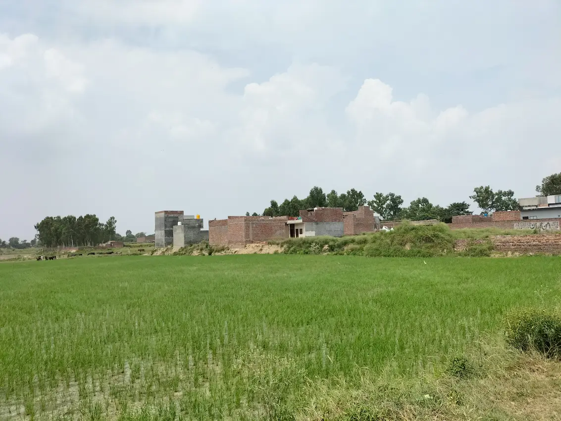
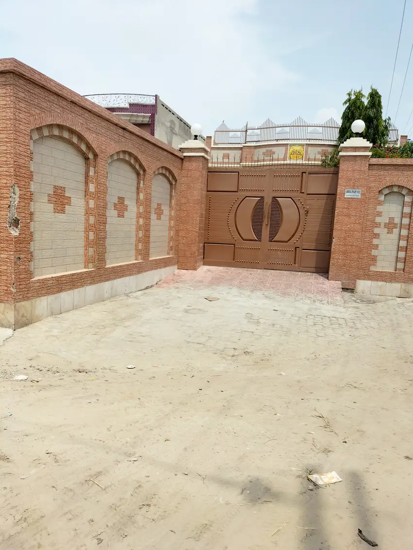
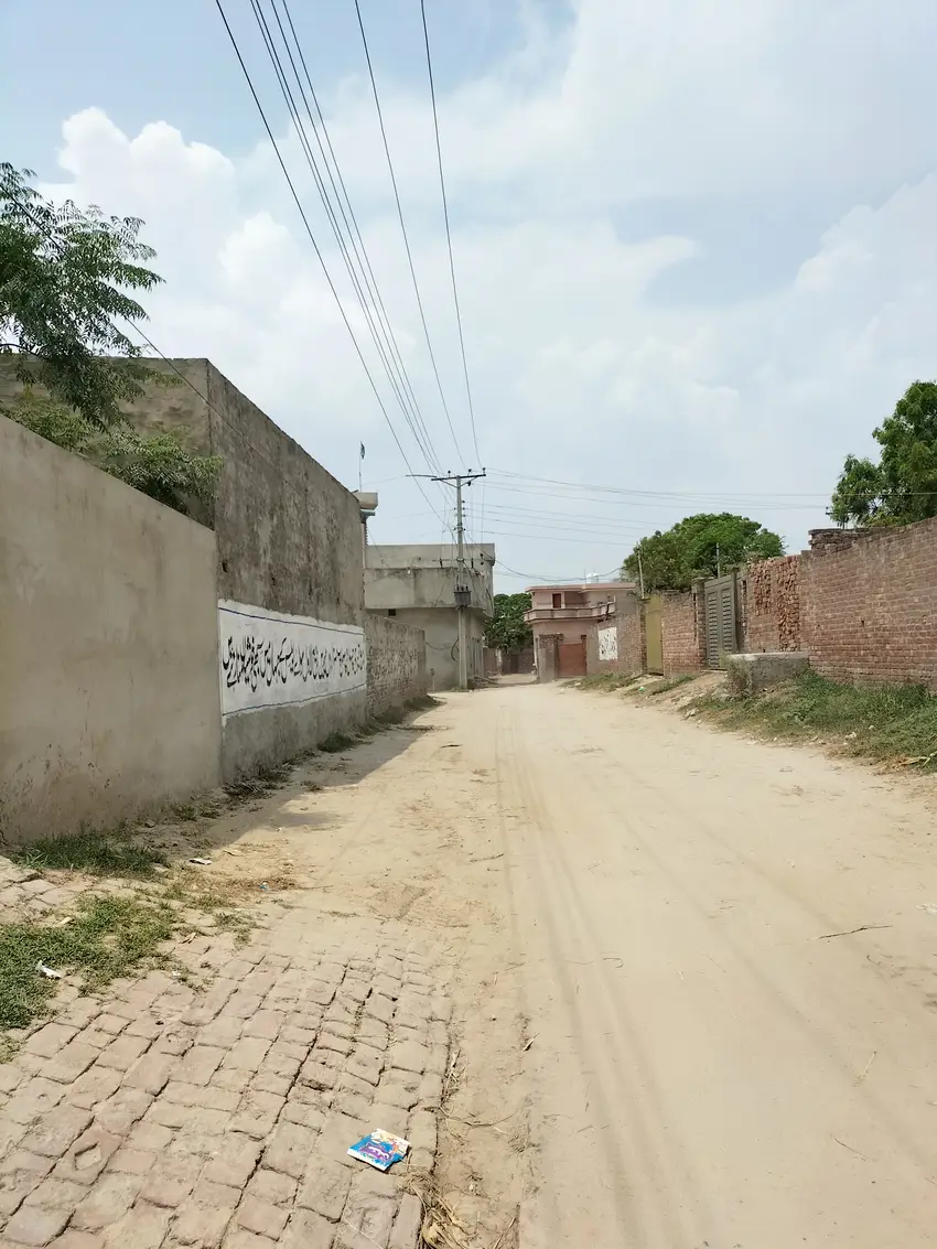
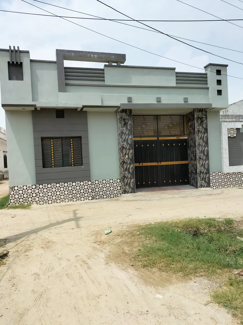
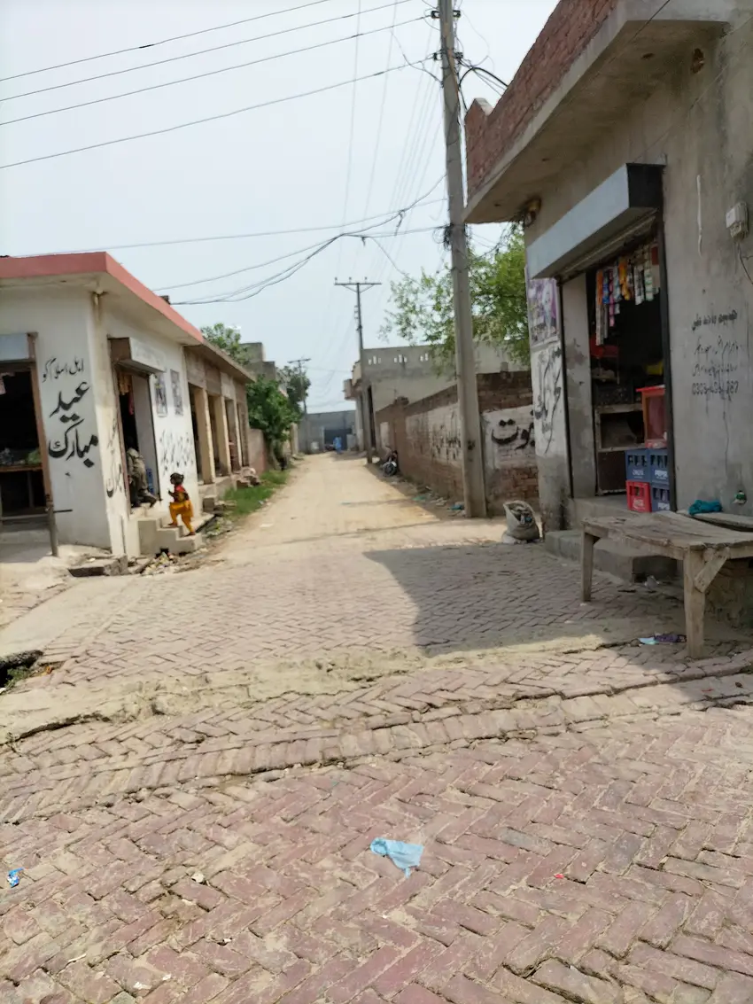
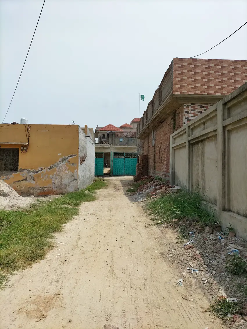
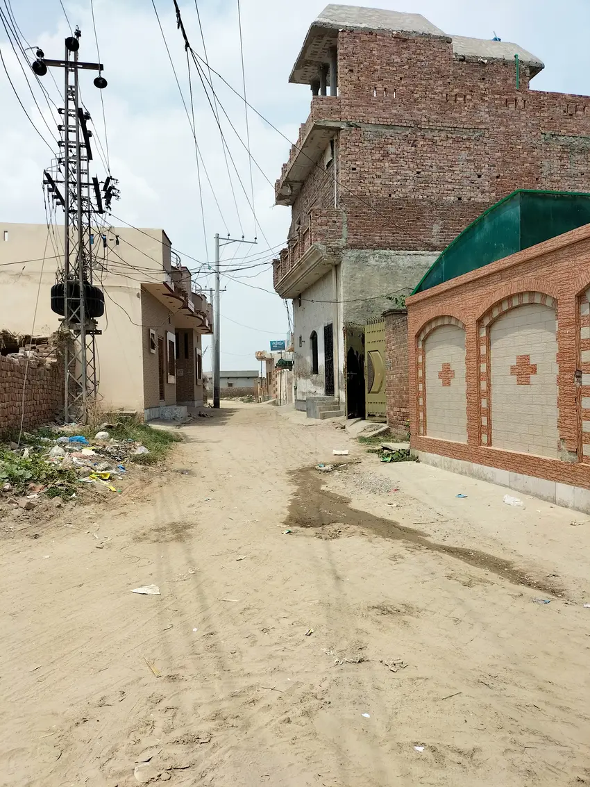
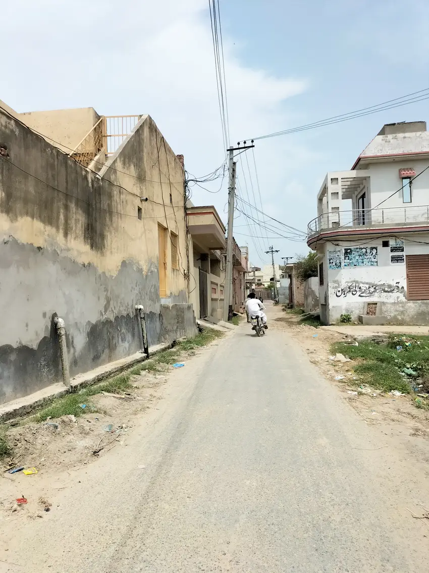
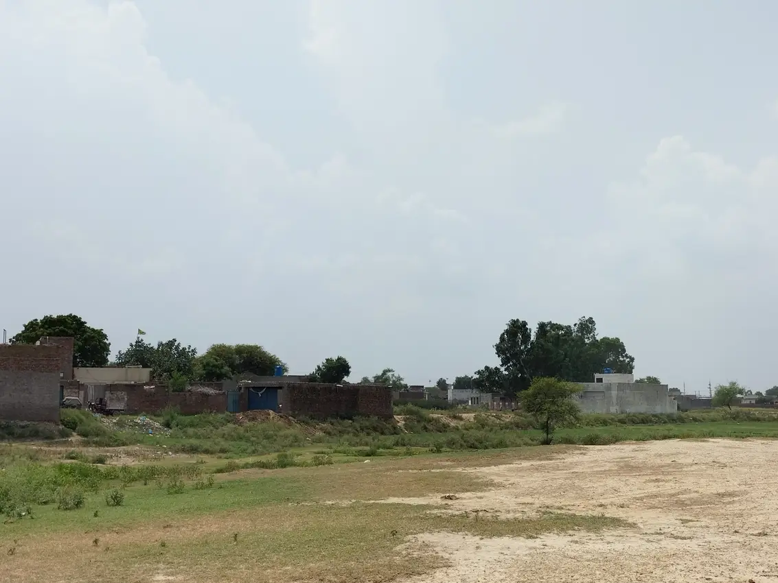
Rang Pur village is situated in union council no. 15 (Bairoon Kasur), Tehsil & District, Kasur, Province Punjab, Pakistan. Its surrounding villages are Peru wala, Nathu wala, Patto khurd and Qaiser Garh. It comes in National Assembly constituency NA-137 and Provincial Assembly constituency PP-175. Rang Pur is situated on the outskirts of kasur city in its eastern side. Kasur city is about 3 kilometers away from it. This village is electrified but sui gas facility is not available in it. Wheat and rice are one of the main crops cultivated in this area. Its latitude is 31.13413° or 31° 8′ 3″ north, while its longitude is 74.4813° or 74° 28′ 53″ east.
رنگ پور گاؤں یونین کونسل نمبر 15 (بیرون قصور)، تحصیل اور ضلع قصور میں واقع ہے۔ اس کے آس پاس کے گاؤں پیرو والا، نتھو والا، پتو خورد اور قیصر گڑھ ہیں۔ یہ قومی اسمبلی کے حلقہ این اے 137 اور صوبائی اسمبلی کے حلقہ پی پی 175 میں آتا ہے۔ یہ قصور شہر کے مضافات میں اس کے مشرقی جانب واقع ہے۔ قصور شہر اس سے تقریباً 3 کلومیٹر کے فاصلے پر ہے۔ اس گاؤں میں بجلی تو ہے لیکن سوئی گیس کی سہولت میسر نہیں۔ گندم اور چاول اس علاقے میں کاشت کی جانے والی اہم فصلوں میں سے ایک ہیں۔ اس کا عرض بلد 31.13413° یا 31° 8′ 3″ شمال ہے، جبکہ اس کا طول البلد 74.4813° یا 74° 28′ 53″ مشرق ہے۔

Population of Rang Pur: رنگ پور کی آبادی
As per 2017 census, population of Rang Pur is about 3000 while its literacy rate is 60.18 percent.
Schools in Rang Pur: رنگ پور میں اسکول
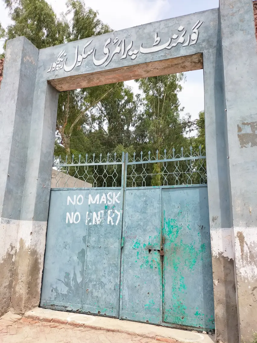
There is a Government primary school (GPS) in Rang pur, its EMIS code is 35120230. While there is also a Government Girls primary school GGPS in this village, its EMIS code is 35120516.
Health Centre in This village: اس گاؤں میں صحت مرکز
There is no Basic health unit or Rural health centre RHC in Rang Pur. Nearest health facility situated around this village is Bulleh shah hospital previously known as District Headquarter Hospital.