
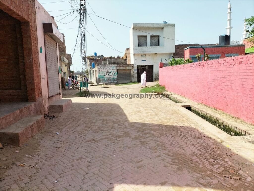
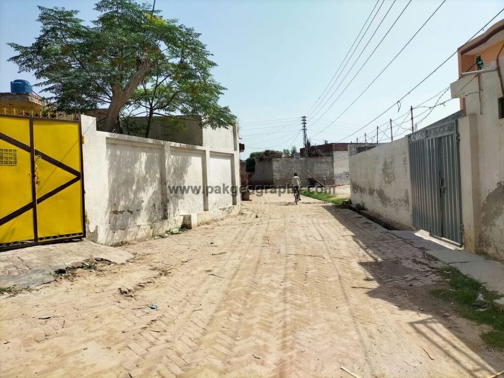
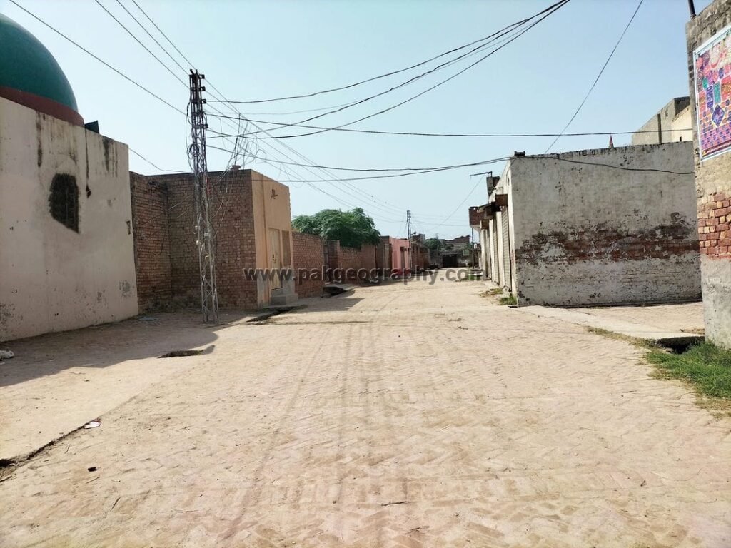
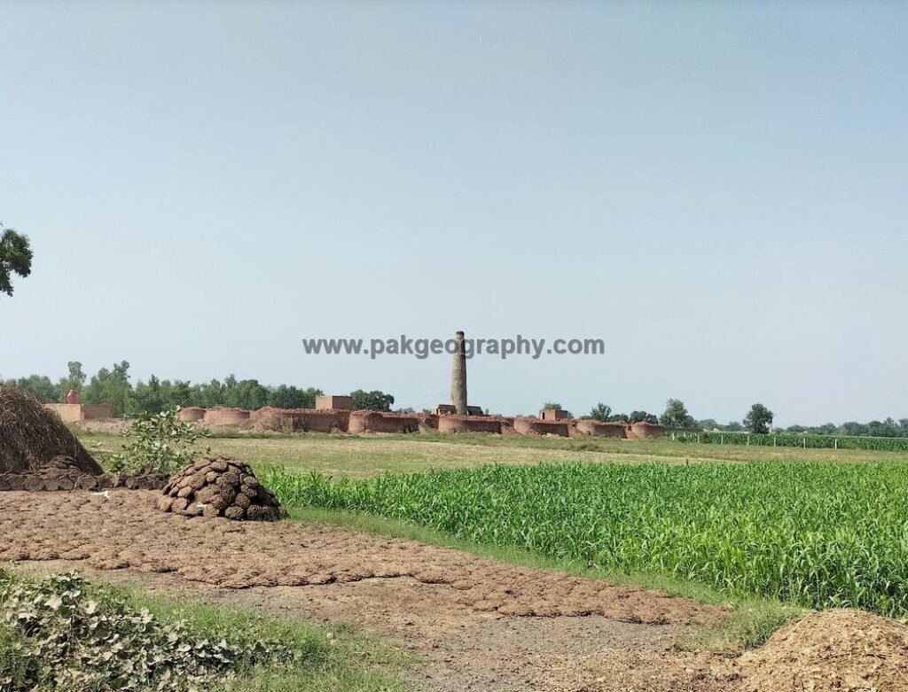
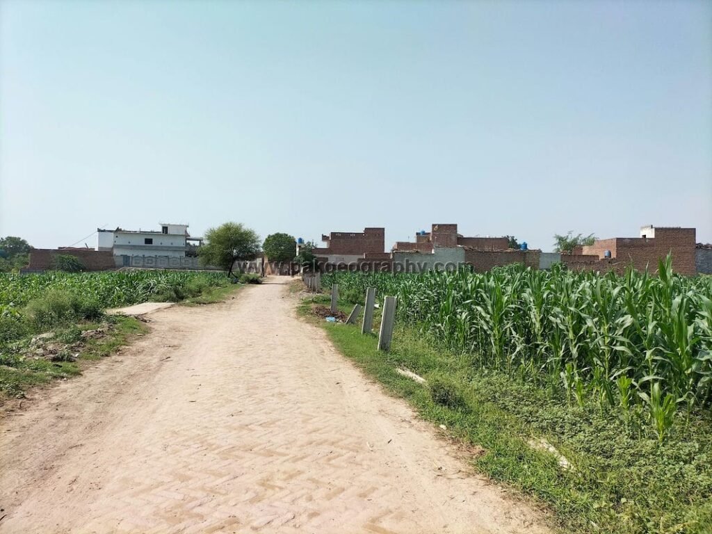
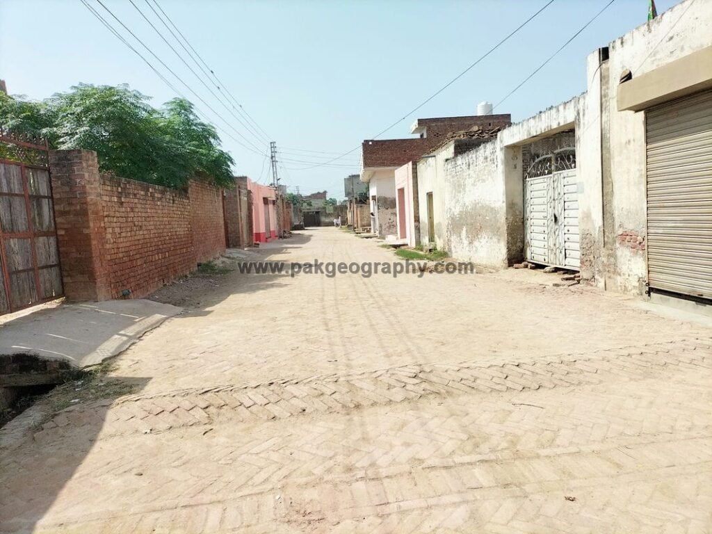
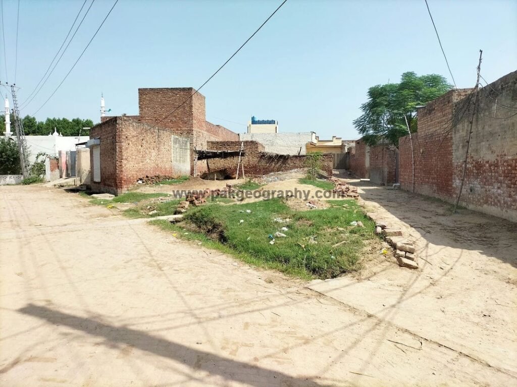
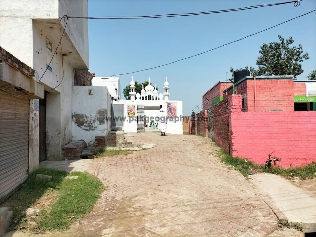
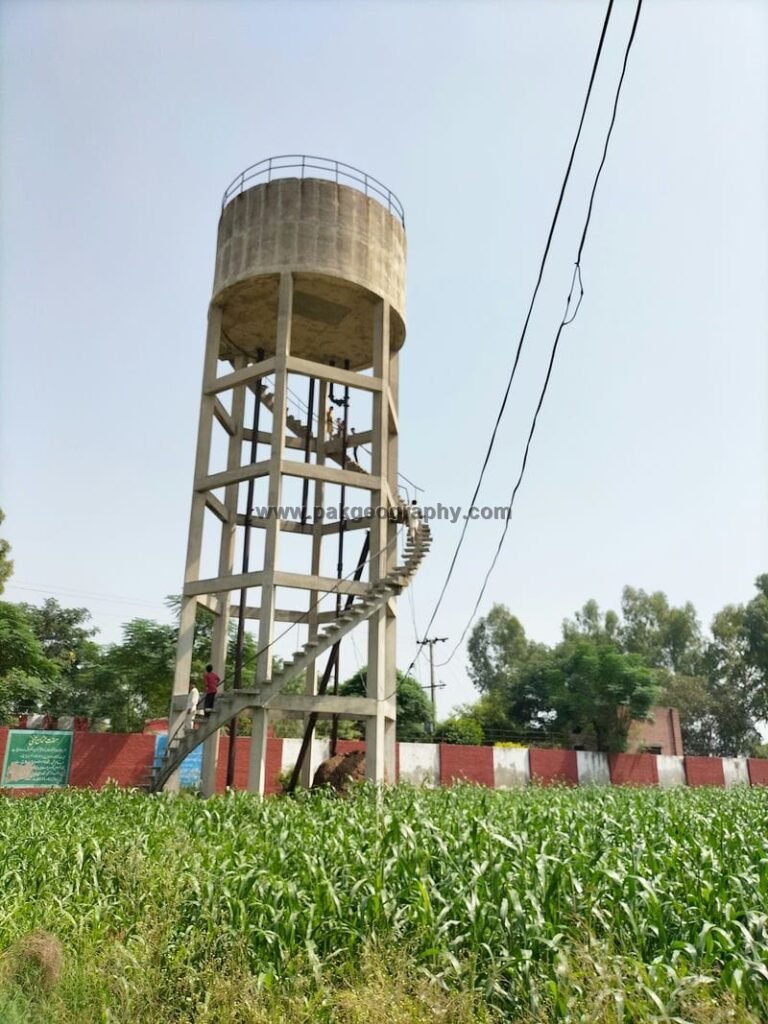
Malloki is a village situated in Union Council no 123 (Ram Thaman), Tehsil Kot Radha Kishan, District Kasur, Province Punjab, Pakistan. It is also spelled as “Mallo ki”, “Malloky” and “Malhuke”. Its surrounding villages are Theh Sheikham, Theh Saharan, Kalu Khara and Theh Rosa. Malloki village is located in west of Kasur city about 16 kilometers away. Most of the people of Malloki belong to Mayo, Jutt and Rajput caste. Mewati and Punjabi are the most spoken languages of this village. This village has been provided electricity. There is a Government water tank in this village through which drinking water is supplied to the residents of this area. Its latitude is 31.14819° or 31° 8′ 54″ north, while its longitude is 74.29819° or 74° 17′ 54″ east.
ملوکی ایک گاؤں ہے جو یونین کونسل نمبر 123 (رام تھمن)، تحصیل کوٹ رادھا کشن، ضلع قصور، صوبہ پنجاب، پاکستان میں واقع ہے۔ اس کے آس پاس کے دیہات تھہ شیخم، تھہ سہارن، کالو کھارا اور تھہ روسا ہیں۔ ملوکی گاؤں قصور شہر سے تقریباً 16 کلومیٹر کے فاصلے پر مغرب میں واقع ہے۔ ملوکی کے زیادہ تر لوگ میو، جٹ اور راجپوت ذات سے تعلق رکھتے ہیں۔ میواتی اور پنجابی اس گاؤں کی سب سے زیادہ بولی جانے والی زبانیں ہیں۔ اس گاؤں کو بجلی فراہم کی گئی ہے۔ اس گاؤں میں ایک سرکاری پانی کی ٹینکی ہے جس کے ذریعے اس علاقے کے مکینوں کو پینے کا پانی فراہم کیا جاتا ہے۔ اس کا عرض بلد 31.14819° یا 31° 8′ 54″ شمال ہے، جبکہ اس کا طول البلد 74.29819° یا 74° 17′ 54″ مشرق ہے۔


What is population of Malloki?
As per 2017 census, population of Malloki village comprises of about 2785 persons.
Schools in Malloki
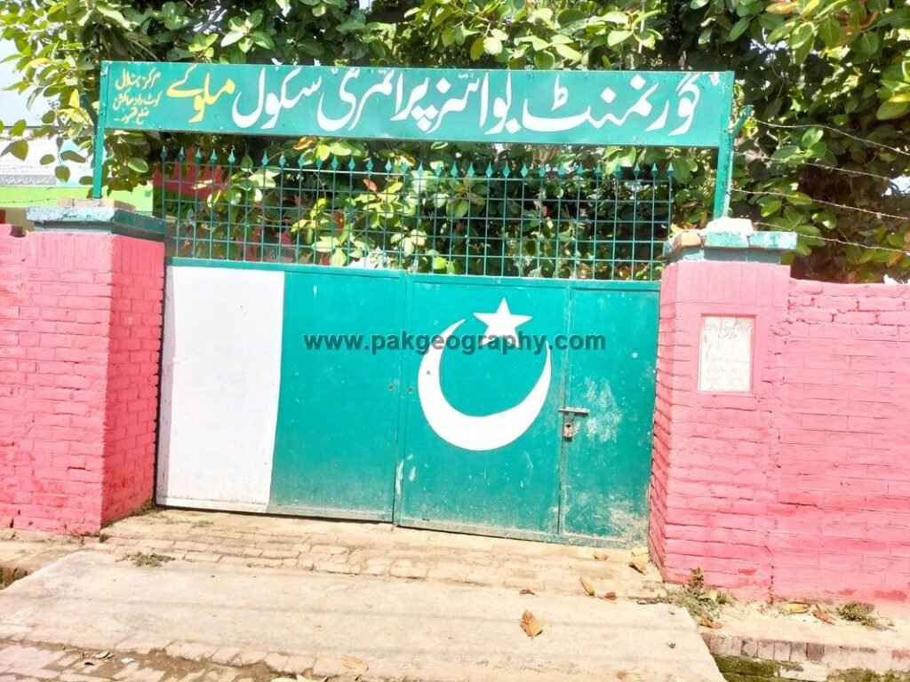
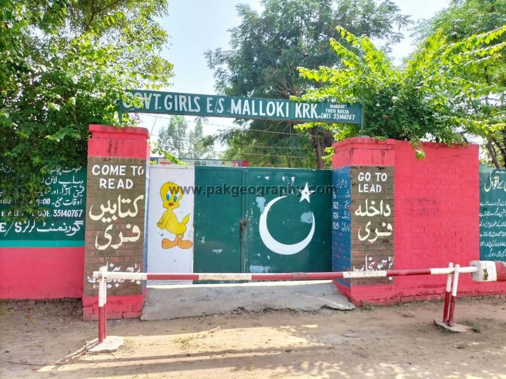
There are following two Government schools in Malloki:
- Government Primary School (GPS). Its EMIS code is 35140466.
- Government Girls Elementary School. (GGES). Its EMIS code is 35140767.
Is there any health center in Mallo ki?
There is no basic health unit in Malloky. Nearest basic health unit (BHU) is situated in Village Theh Saharan about 2.5 kilometers in North of Malloki.