
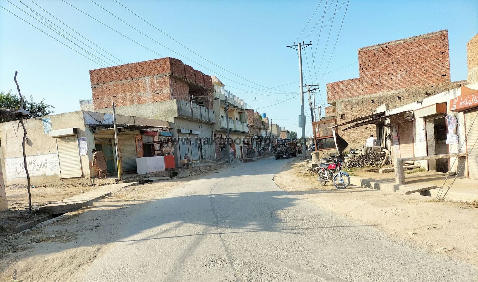
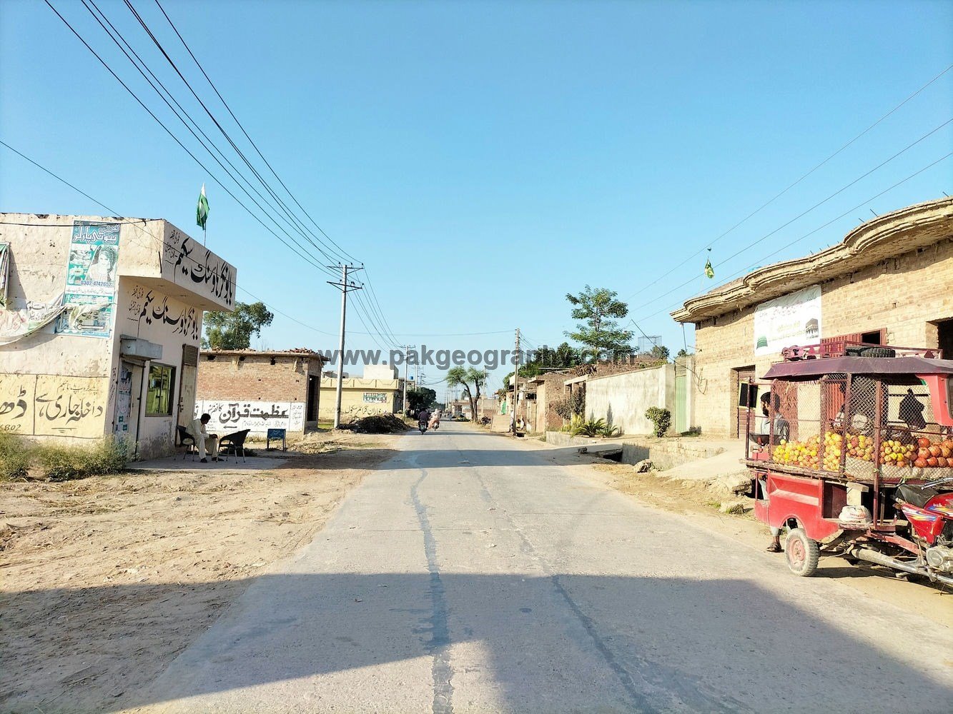
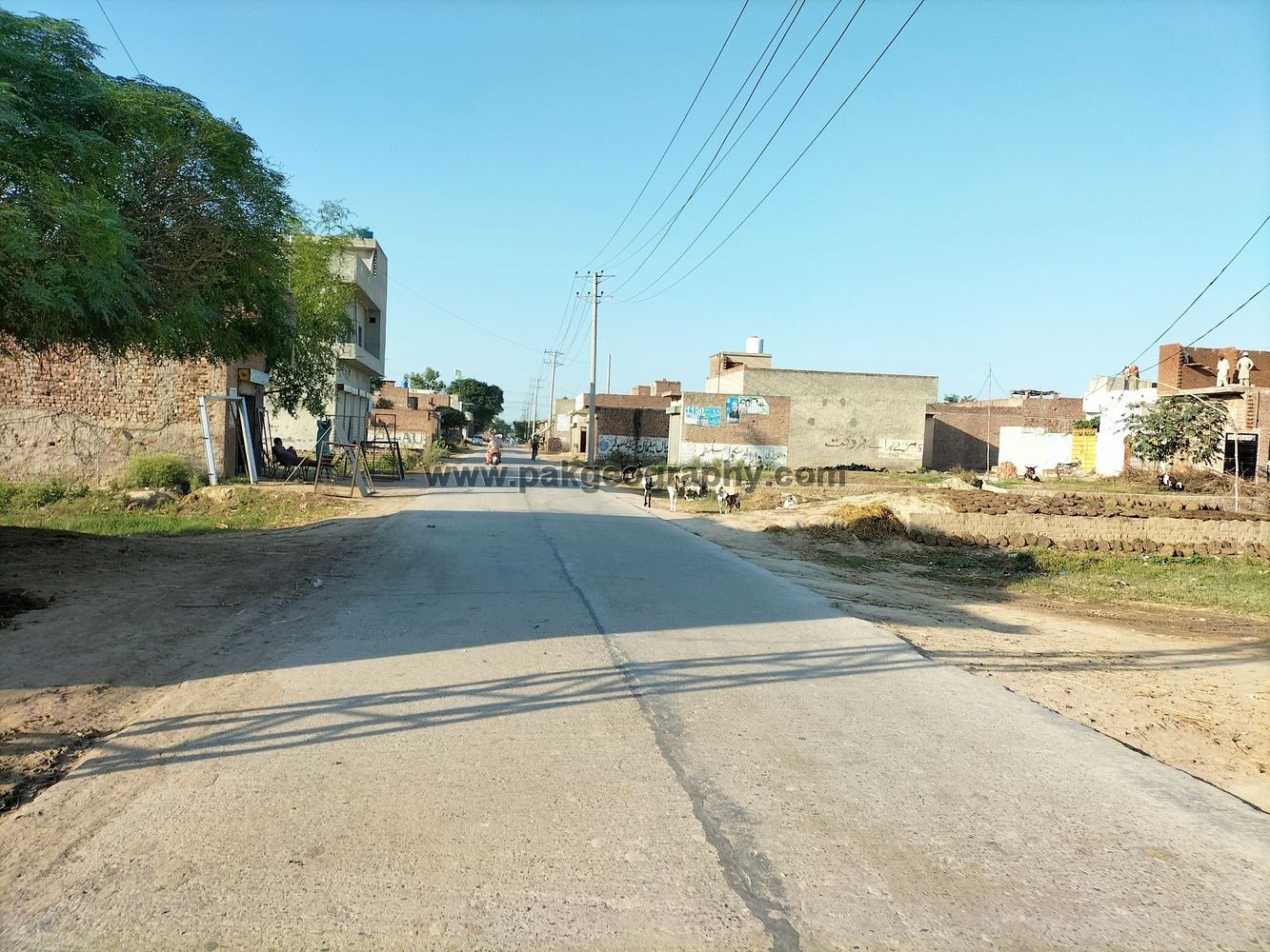
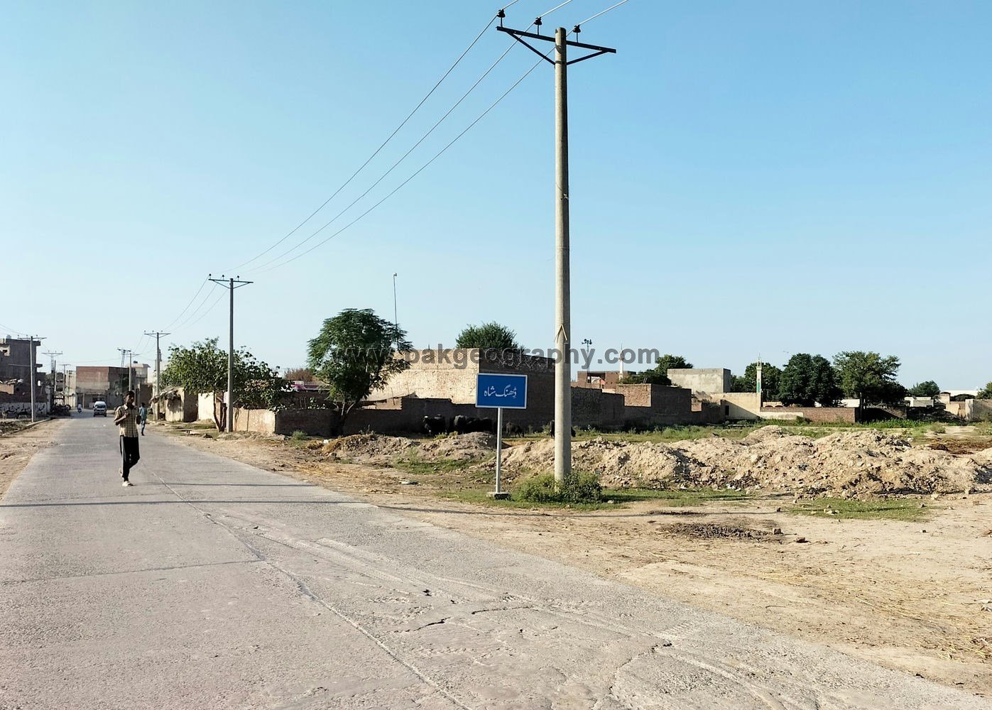
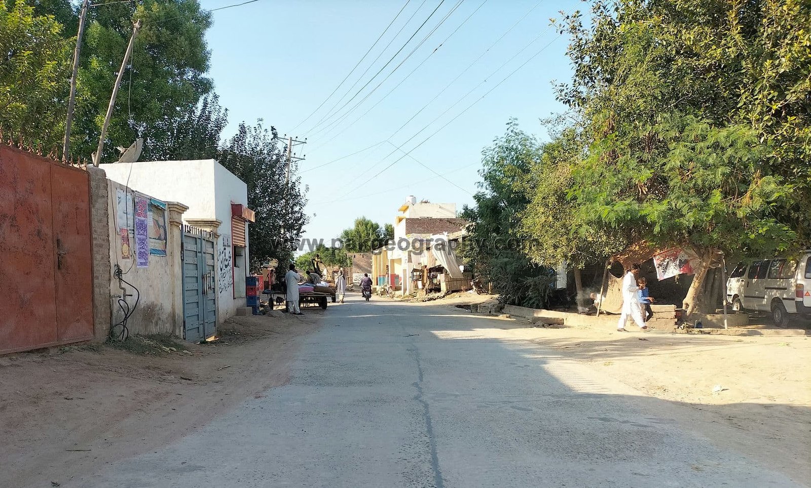
ڈھنگ شاہ
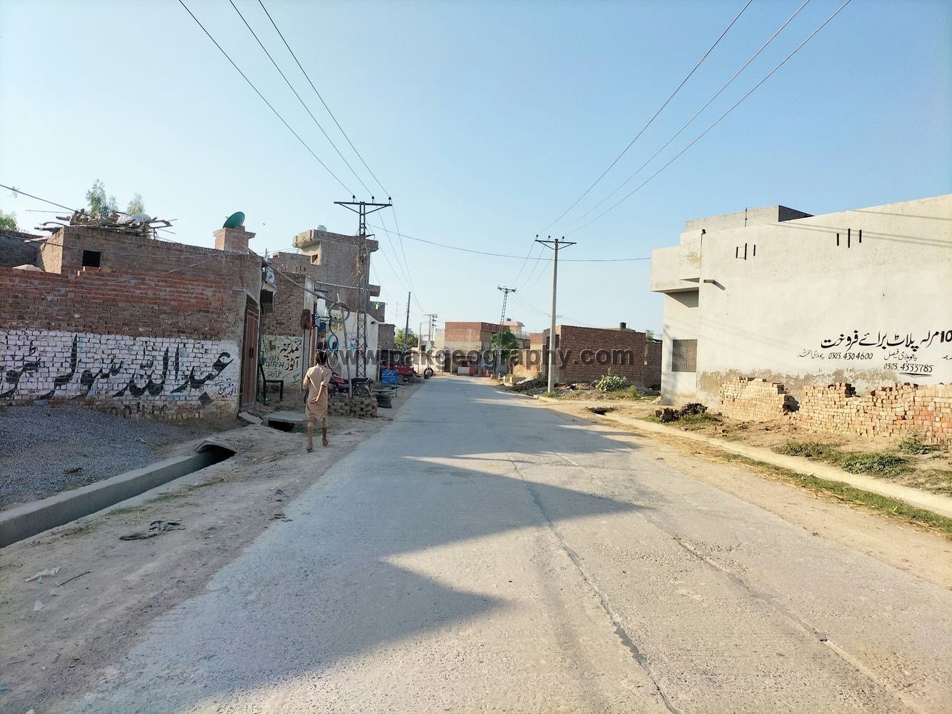
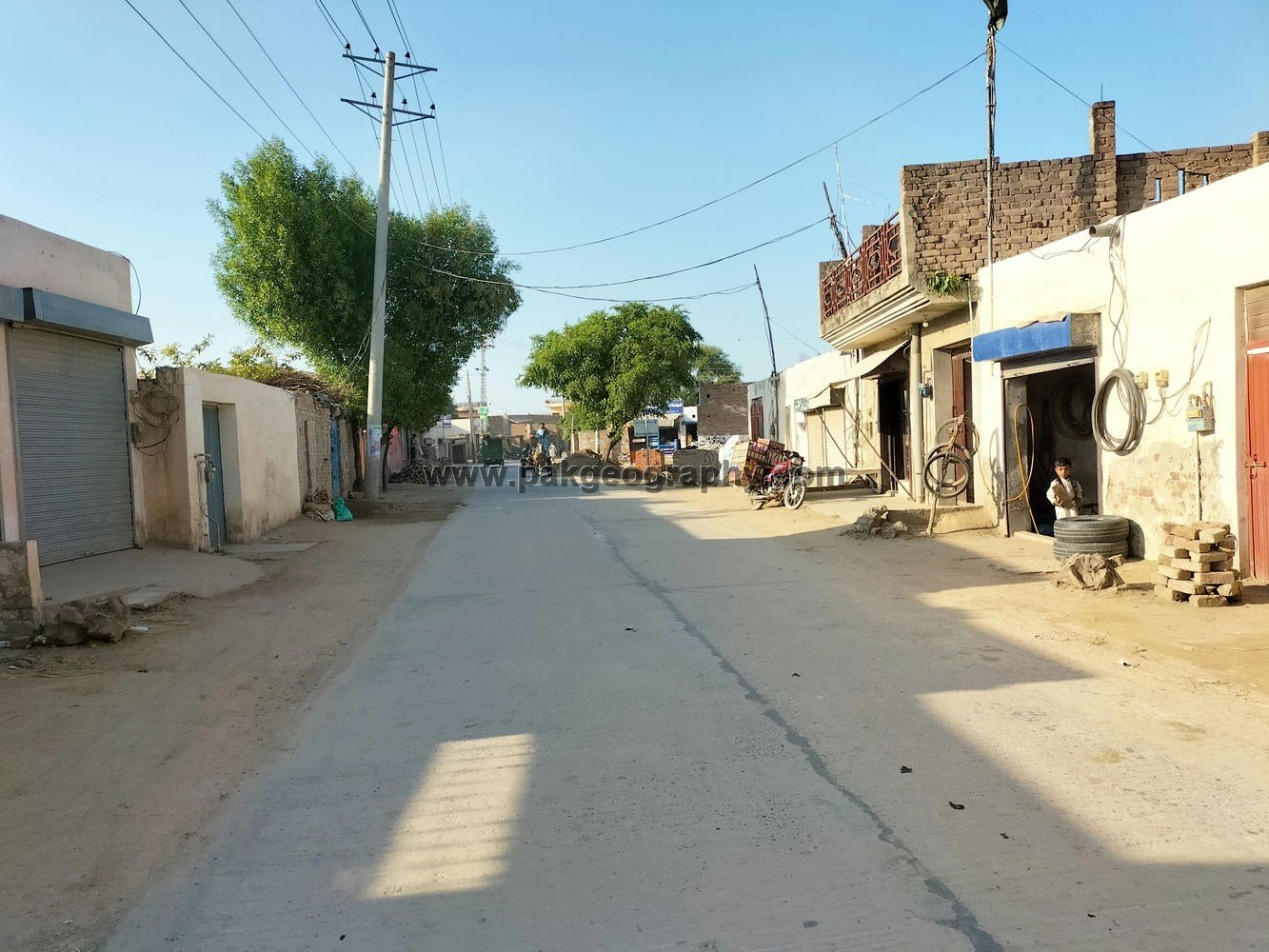
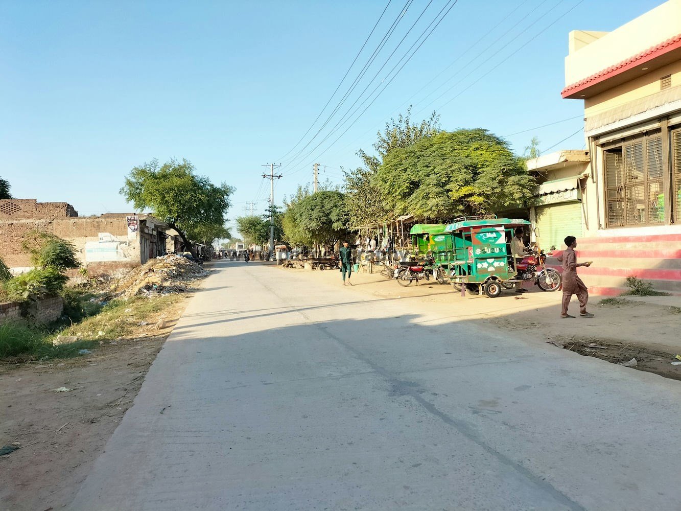
Dhing Shah is a village situated in Union council no 30 (Sanda Kalan), Tehsil and District Kasur, Province Punjab, Pakistan. Its surrounding villages are Bher Sodian, Baig Pur, Kacha Pakka, Nandan Pura and Pial Kalan. It is located 33 kilometers southwest of District headquarter Kasur. Electricity and natural gas has been provided to this village. Its nearby main town is Khudian Khas which lies in its east about 8 kilometers away. Area of Dhing Shah comprises of about 2271 Acres. Its latitude is 30.93553° or 30° 56′ 8″ north, while its longitude is 74.21329° or 74° 12′ 48″ east.
ڈھنگ شاہ ایک گاؤں ہے جو یونین کونسل نمبر 30 (ساندہ کلاں)، تحصیل و ضلع قصور، صوبہ پنجاب، پاکستان میں واقع ہے۔ اس کے آس پاس کے گاؤں بھیر سوڈیان ، بیگ پور، کچا پکا، نندن پورہ اور پیال کلاں ہیں۔ یہ ڈسٹرکٹ ہیڈ کوارٹر قصور سے تقریباً 33 کلومیٹر کے فاصلے پر جنوب مغرب میں واقع ہے۔ اس گاؤں کو بجلی اور سوئی گیس/قدرتی گیس فراہم کی گئی ہے۔ اس کا قریبی مرکزی قصبہ کھڈیاں خاص ہے جو اس کے مشرق میں تقریباً 8 کلومیٹر کے فاصلے پر مشتمل ہے۔ ڈھنگ شاہ کا رقبہ تقریباً 2271 ایکڑ پر مشتمل ہے۔ ۔ اس کا عرض بلد 30.93553° یا 30° 56′ 8″ شمال ہے، جبکہ اس کا طول البلد 74.21329° یا 74° 12′ 48″ مشرق ہے۔


Population and literacy rate of Dhing Shah:
As per 2017 census, population of this town comprises of 11566 persons. Out of total population, 5984 are male while 5582 are females. Its literacy rate is 49.6 percent. Male literacy rate is 57.3 percent, while literacy rate among females is 41.4 percent. Its Muslim population is 11033, while 533 persons are non Muslims.
Schools in Dhing Shah:
There are following three Government schools in this village:
- Govt. High School. Its EMIS code is 35120096.
- Govt. Girls Elementary School. Its EMIS code is 35120733.
- Govt. Primary School (Adda Dhing Shah). Its EMIS code is 35120445.
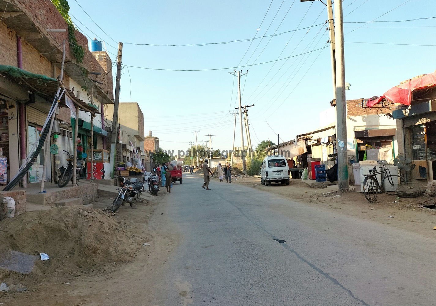
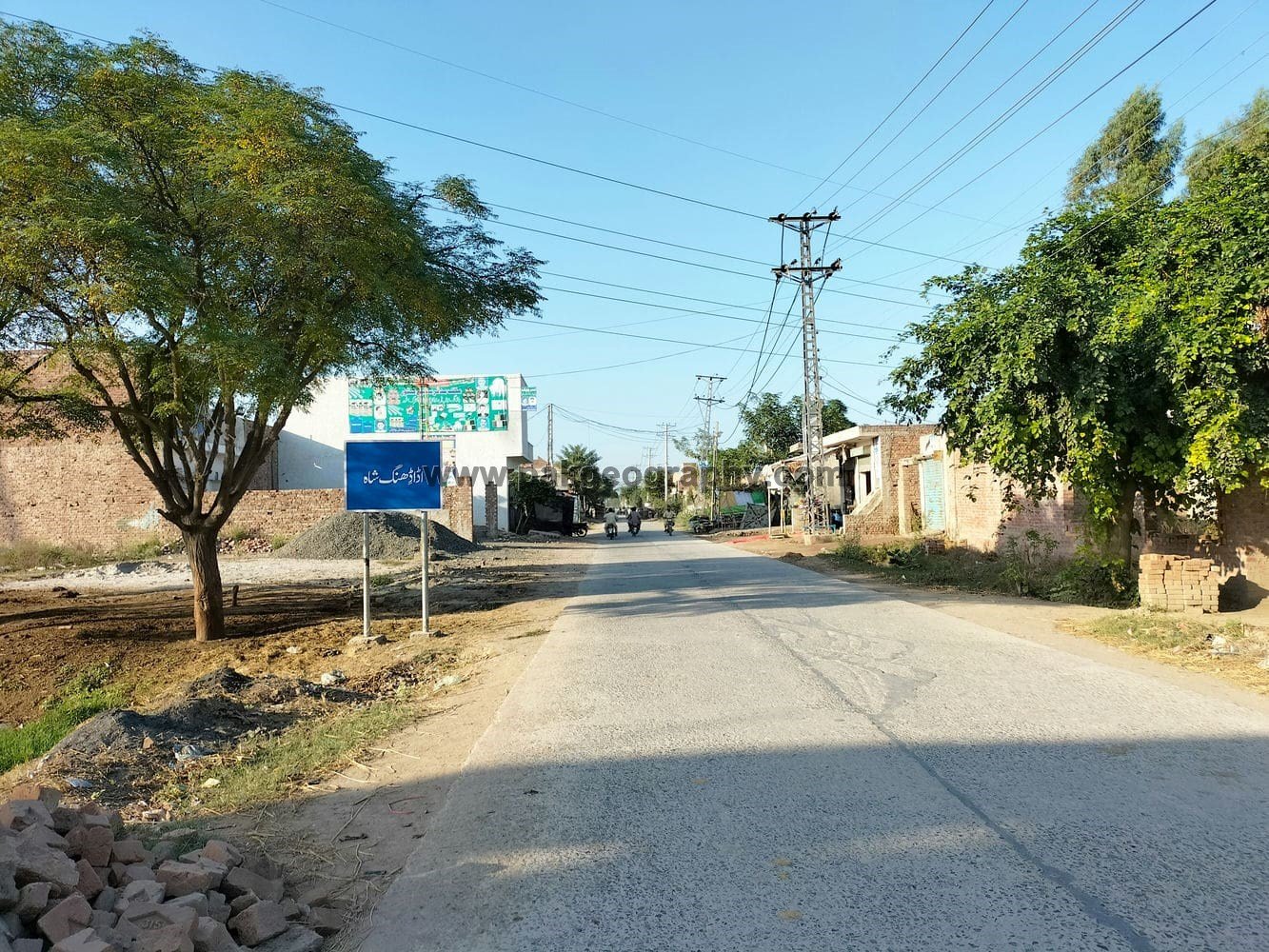
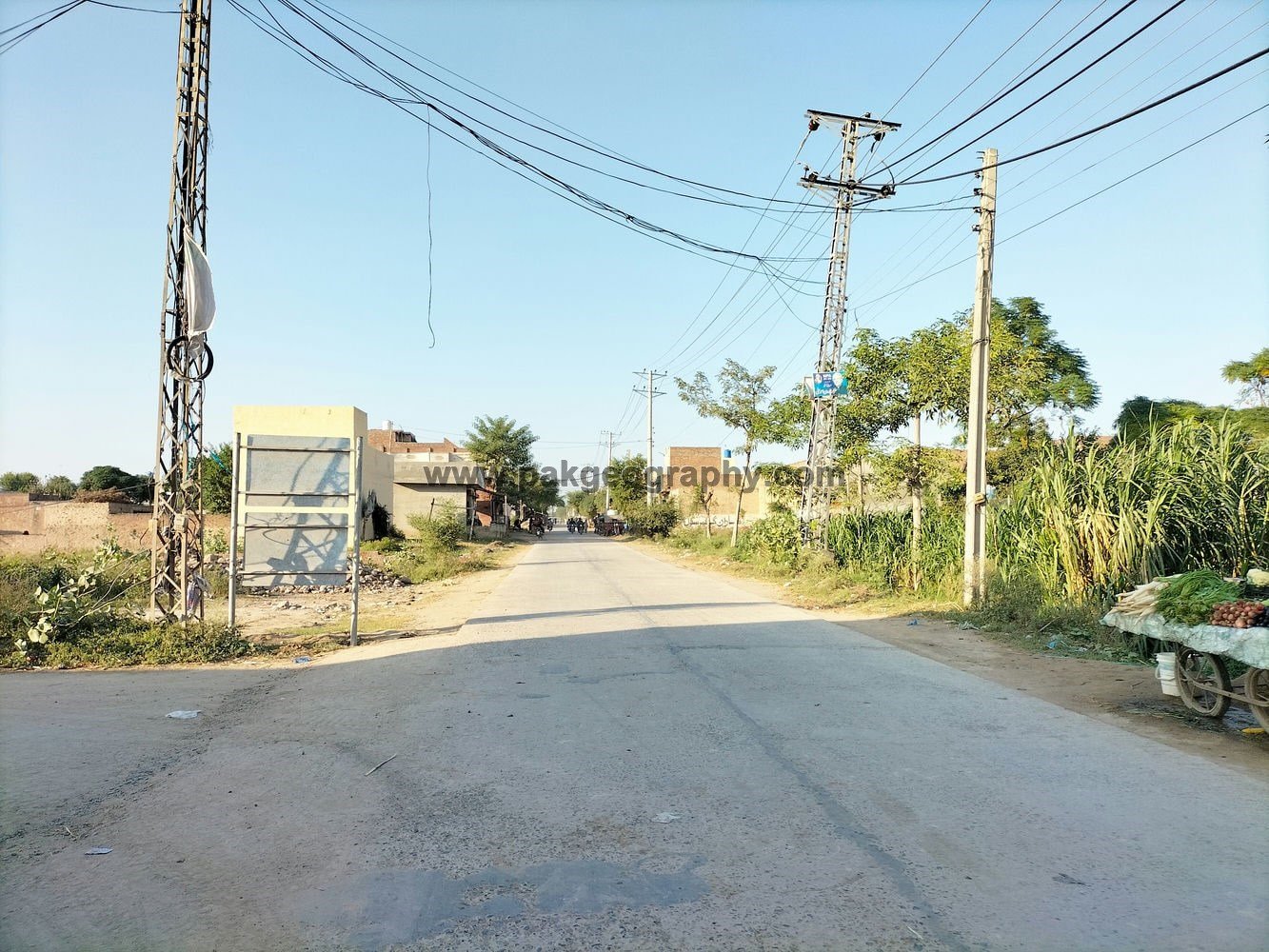
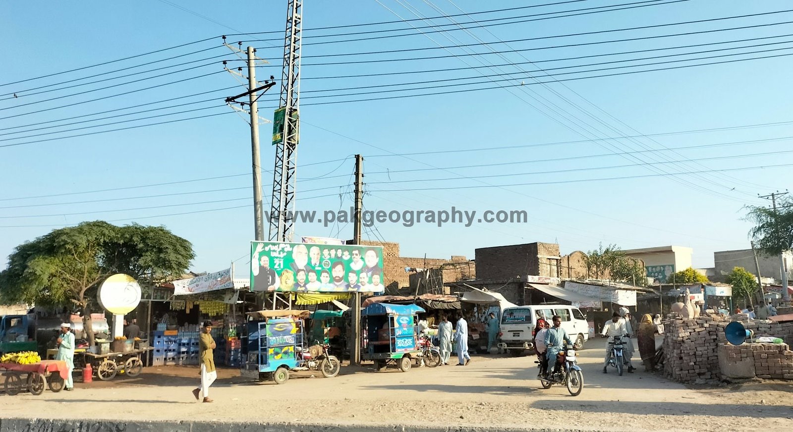
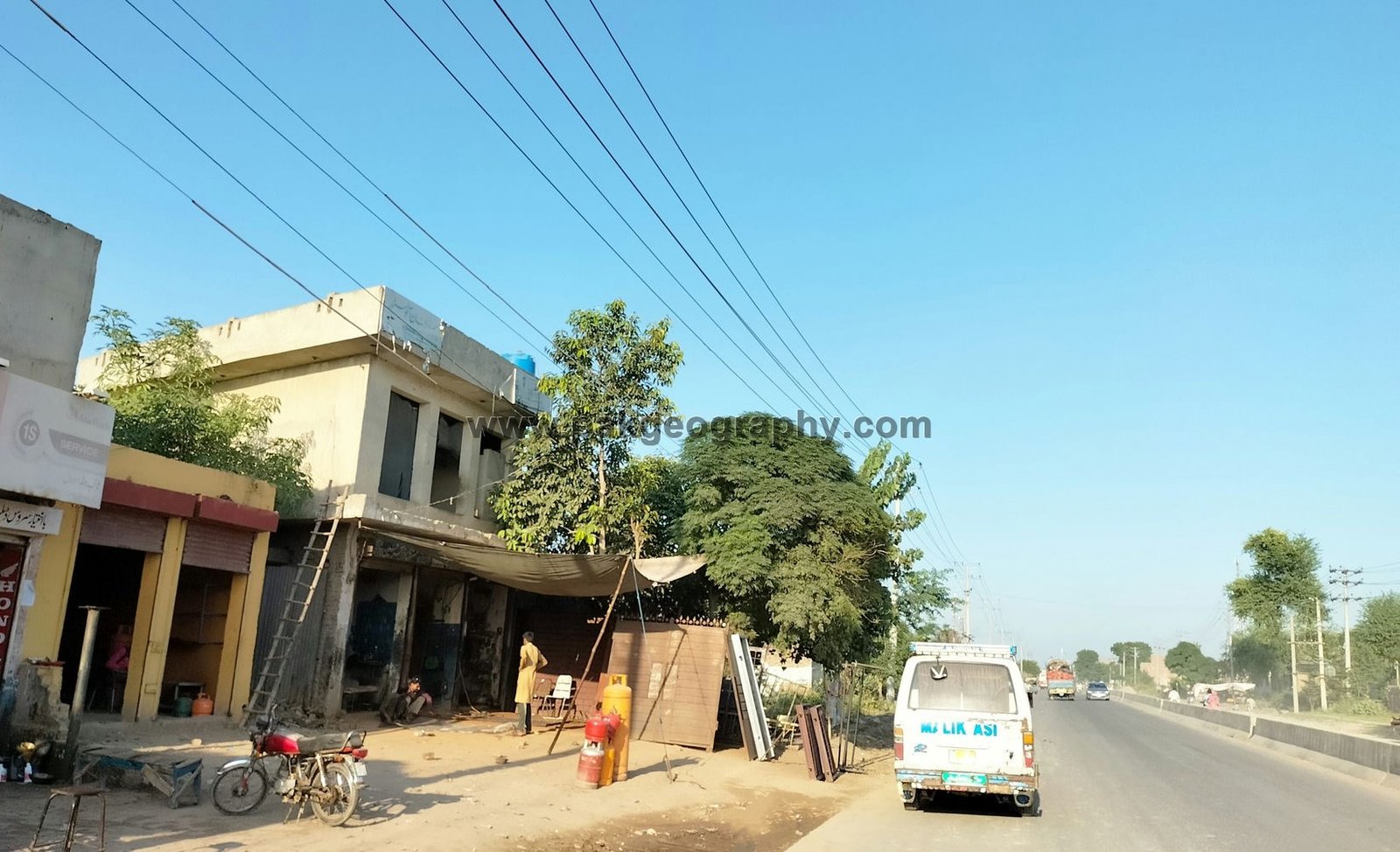
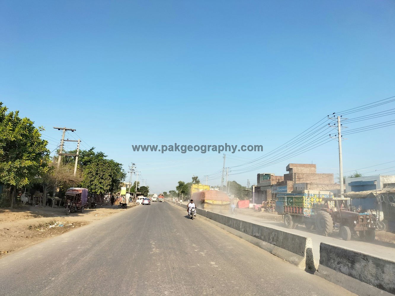
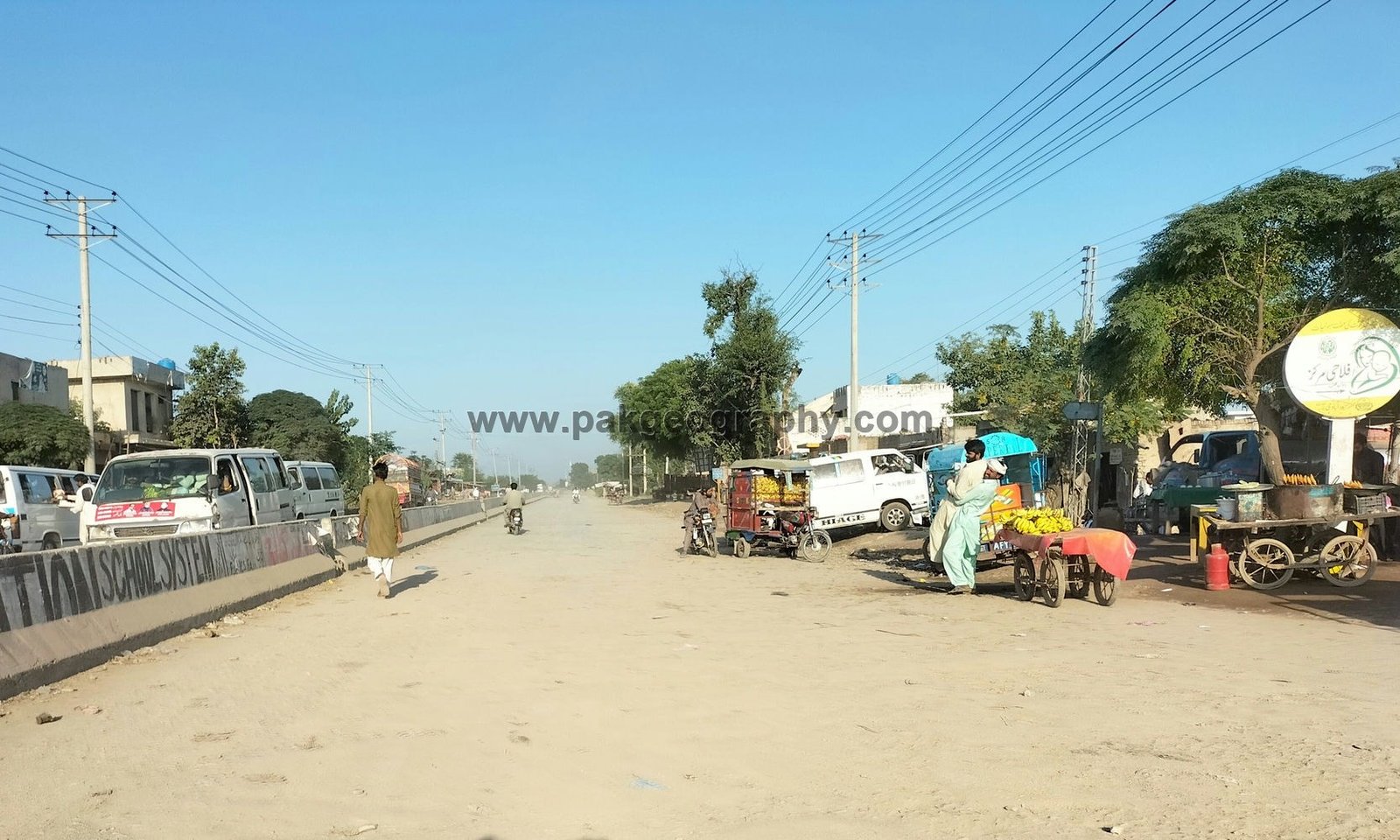
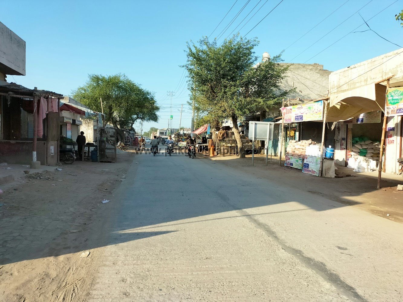
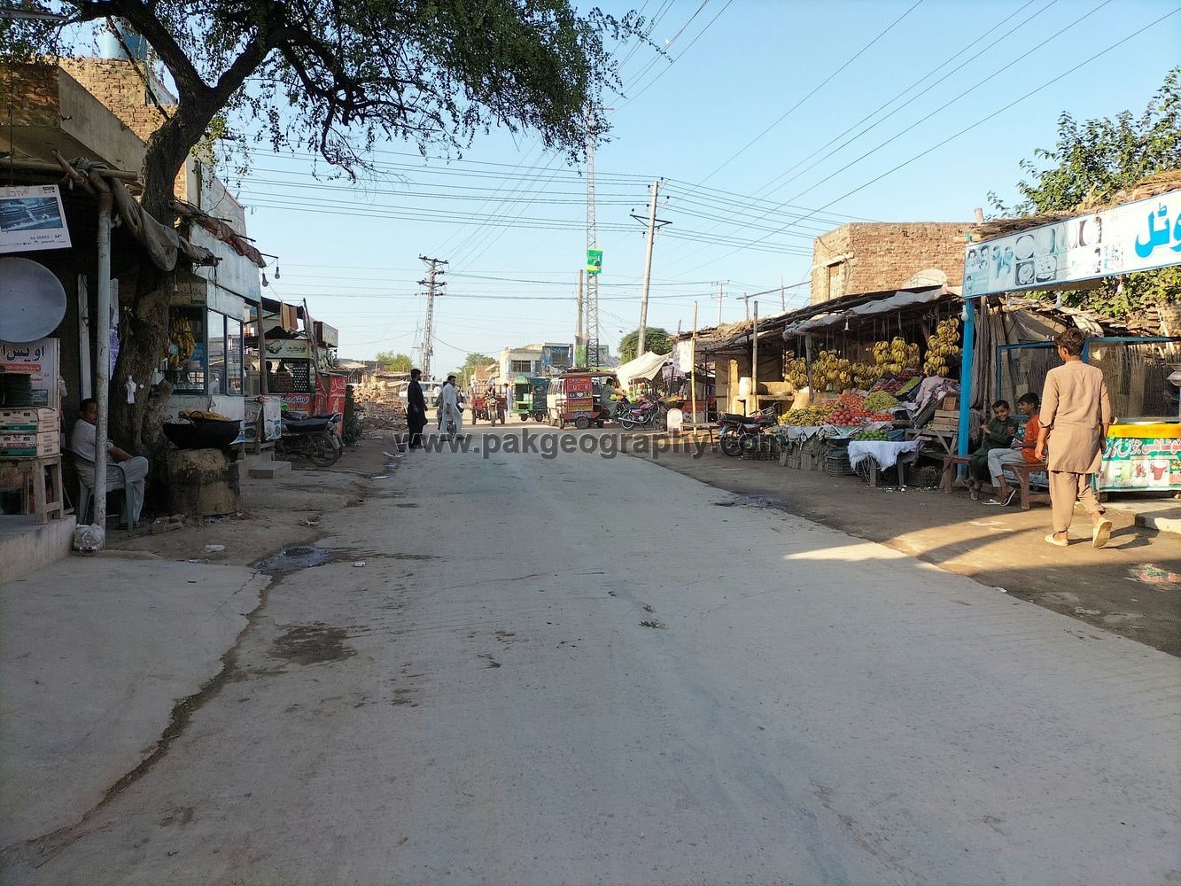
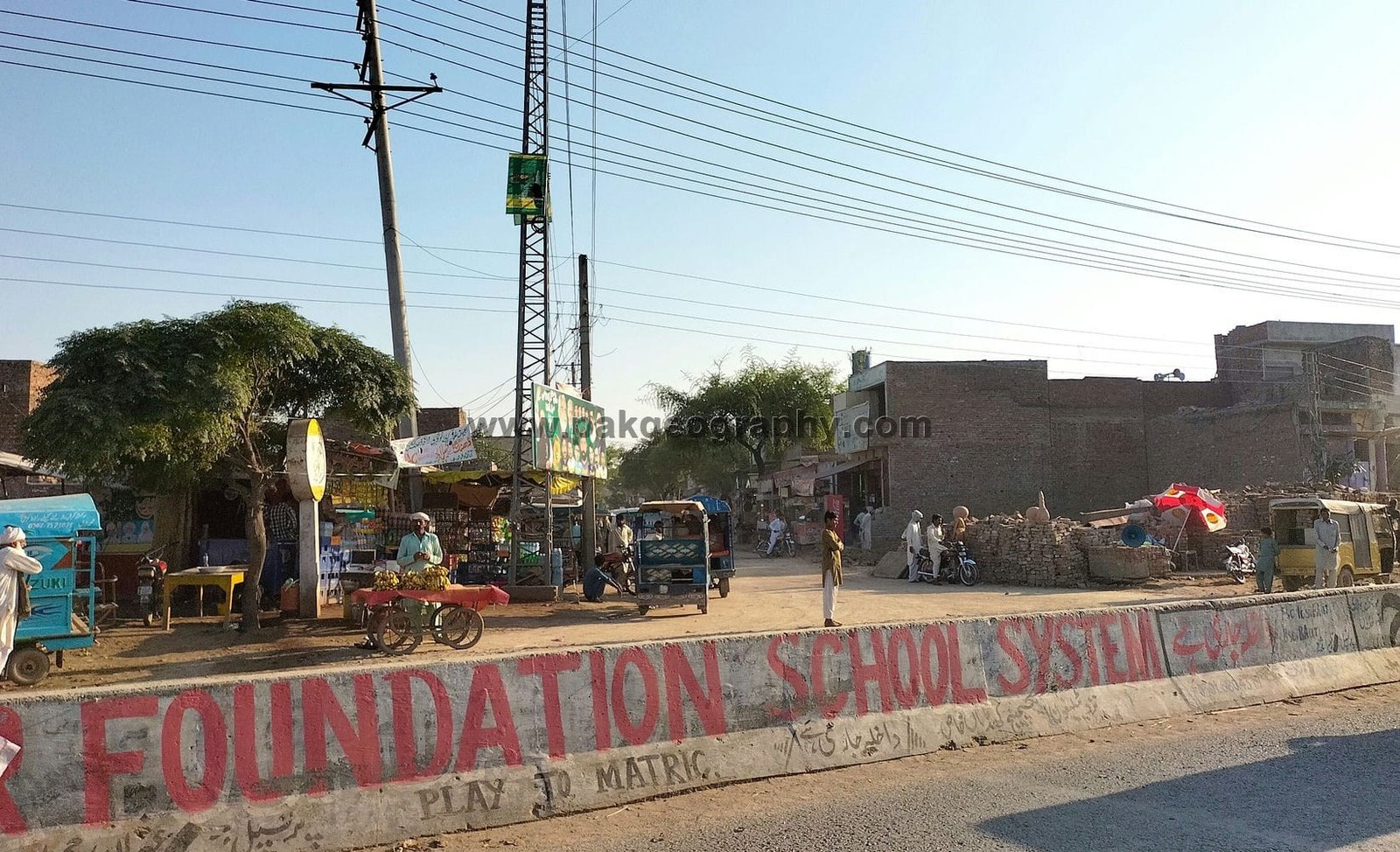
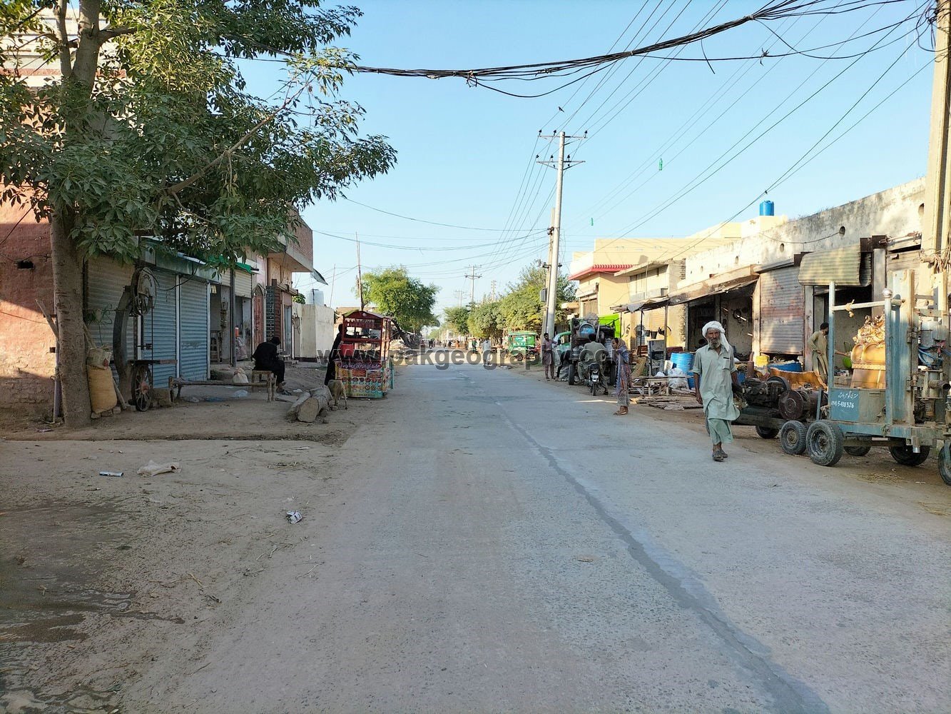
Adda Dhing Shah:
It lies about 1 kilometer north of Village Dhing Shah. It is located on Kasur Depalpur road. Depalpur lies in its southwest about 61 kilometers away. Ellah Abad/Theeng Morr lies 16 kilometers southwest. It is a transportation hub and vehicles travelling to Depalpur, Okara, Chunian, Pattoki, Kasur and Lahore, pass through this point.

Is there any basic health unit in this town?
There is no basic health unit in this village. Nearest basic health unit is located in Pial Kalan, while nearest rural health center is located in Khuddian Khas.