
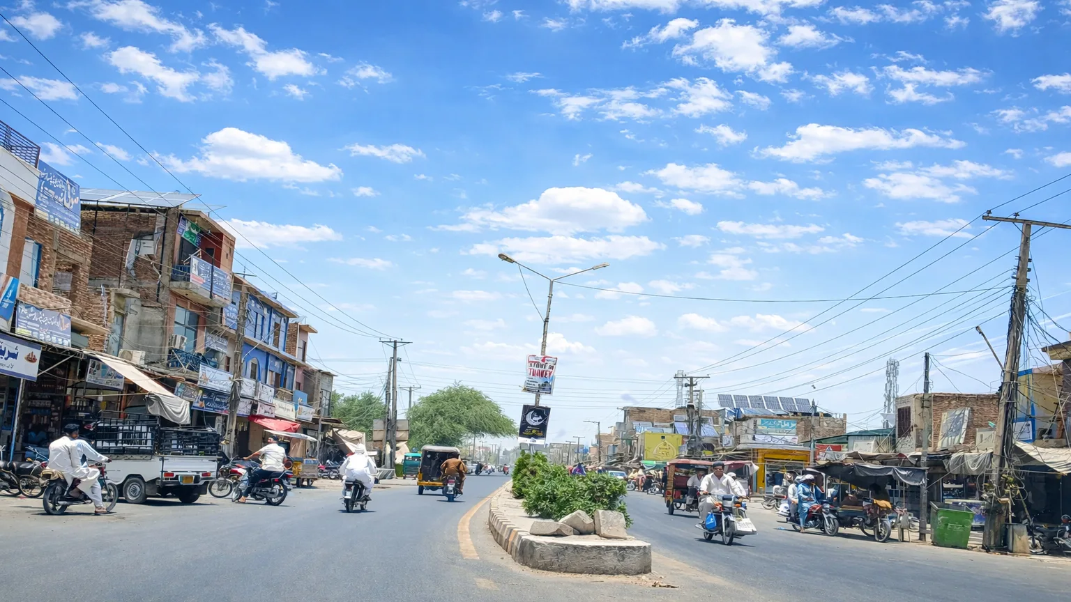
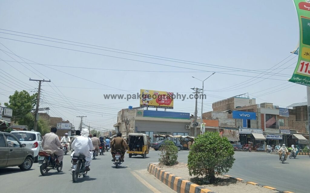
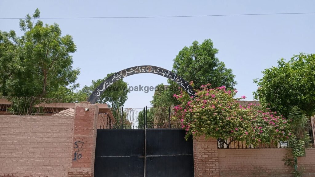
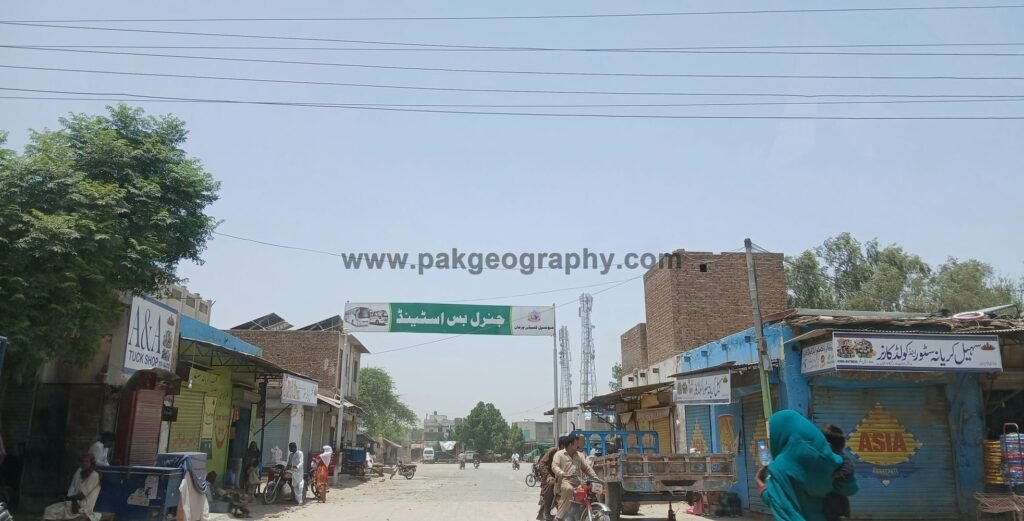
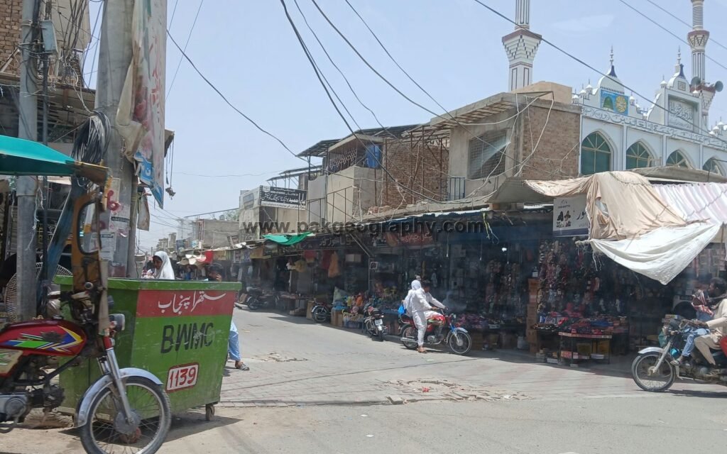
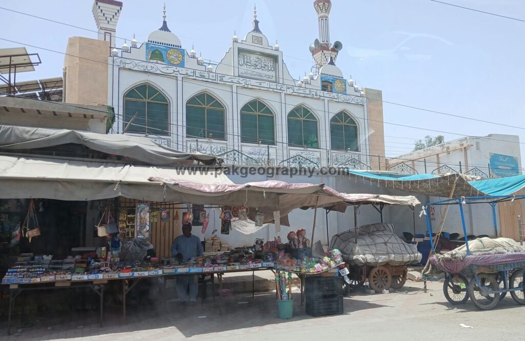
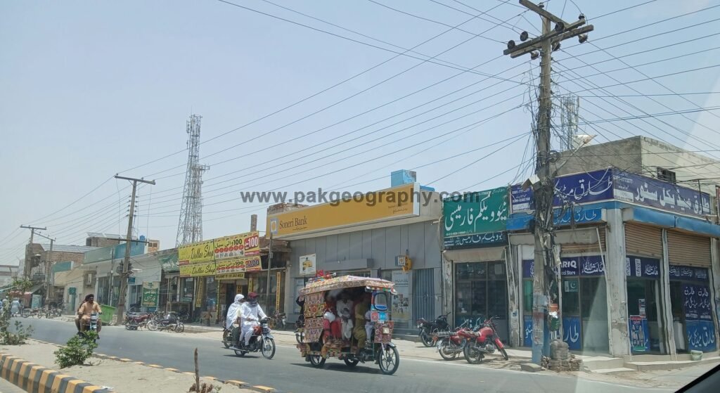
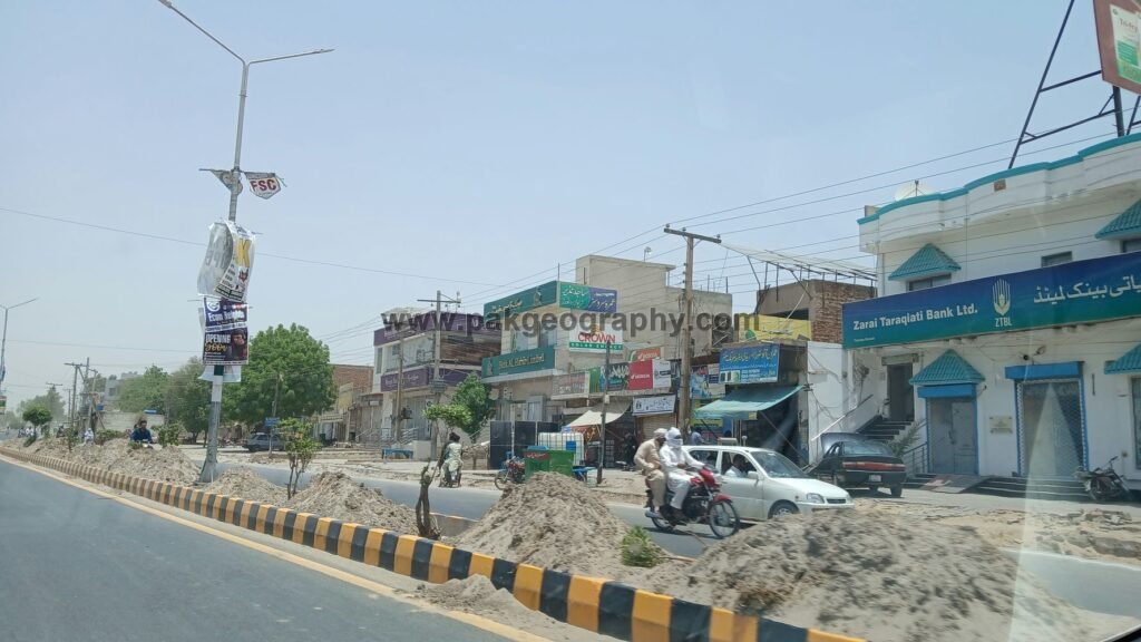
Yazman is a city and Tehsil of District Bahawalpur, Province Punjab, Pakistan. Yazman Tehsil spans an area of 18,374 square kilometers, making it the largest tehsil in the Bahawalpur District by area. It also holds the distinction of being the largest tehsil in Punjab by land area. The city of Yazman, often referred to as Yazman Mandi, serves as the administrative and commercial hub of the region. This article will explore the administrative setup, population, history, and geography of Yazman.
History of Yazman
Yazman’s historical roots are deeply linked to the transformation of southern Punjab during the late 19th and early 20th centuries. The area that is now Yazman was originally part of the arid Cholistan Desert and sparsely populated with nomadic tribes. Significant development began during the era of the Bahawalpur princely state, which initiated large-scale canal irrigation projects under the Sutlej Valley Project (SVP), introduced during British colonial rule.
These canals turned desert lands into cultivable fields, encouraging settlement and agriculture. This town emerged as a mandi (market town) during this period, serving the growing agricultural population. It was designated a Notified Area Committee NAC (Sub-Tehsil) and on 1 July 1984, it was officially upgraded to the status of a Tehsil.
Population of Yazman City & Tehsil
The 2023 national digital census reports that Yazman Tehsil has a population1 of 687,237 (about 91% rural and 9% urban). Within the tehsil, Yazman Municipal Committee (city) recorded a population of 60,738 in 2023 (up from 48,883 in 2017). Tehsil’s male population stands at 347,677, while the female population is recorded at 339,483. This indicates a nearly balanced gender distribution, with males constituting approximately 50.6% and females making up 49.4% of the total population. The average household size in Tehsil is 6.3 persons per household.
Literacy Rate
According to 2023 Census, literacy rate2 of Yazman Tehsil is as under:
| Indicator | Total | Male | Female |
| Literacy Rate (%) | 53.55% | 58.41% | 48.52% |
| Primary Education Completed | 54,477 | 30,191 | 24,285 |
| Enrolled in Middle Education | 26,707 | 13,038 | 13,669 |
| Enrolled in Matric (Secondary) Education | 14,292 | 6,933 | 7,358 |
| Enrolled in Intermediate Education | 7,959 | 3,665 | 4,294 |
| Enrolled in Graduation and above | 8,114 | 3,155 | 4,959 |
| Never Attended School (All Ages) | 278,150 | 128,716 | 149,380 |
Places to Visit in Yazman
Yazman is the gateway to some of southern Punjab’s most iconic heritage and nature sites:
- Derawar Fort: A spectacular Fort which stands in the Cholistan Desert. It is a huge square fort with forty strong bastions. The fort was first built by Rai Jajja Bhutta and later rebuilt in 1732 by Nawab Sadeq Muhammad Khan I. Its high walls rise above the sand dunes, protecting old trade routes, water reservoirs, the Abbasi Mosque, and the royal tombs close by.
- Abbasi (Derawar) Mosque: A striking marble mosque built in1849 near Derawar Fort, by Nawabs of Bahawalpur. Its ornate architecture provides a peaceful space for spiritual reflection.
- Lal Suhanra National Park (UNESCO biosphere reserve): One of South Asia’s largest national parks, combining desert, wetland and plantation ecosystems; located east of city.
- Channan Pir: A historic Sufi site and the venue of the annual Channan Pir Mela, held on successive Thursdays in spring in the desert near city.
Administrative Structure & Union Councils
Administratively, Yazman is subdivided into 18 Union Councils within Bahawalpur District’s local government structure. An assistant Commissioner heads the administrative and revenue matters of the tehsil. The tehsil is also a police sub-division under the Bahawalpur regional police setup. On the judicial side, it hosts Civil and Session courts at the tehsil level.
Police stations
There are four3 Police stations in Yazman sub-division; City, Saddar, Head Rajkan and Derawar. Within the Yazman police sub-division, Police Station City and Police Station Saddar serve the urban and surrounding rural areas.
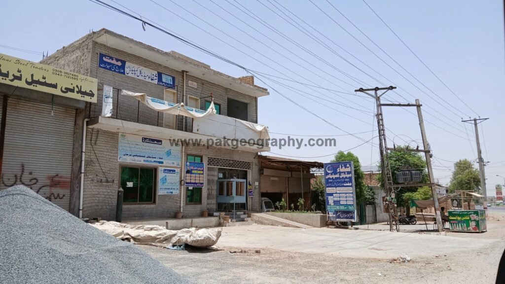
Health Facilities in Yazman
Tehsil Headquarter Hospital4 Yazman serves as the primary secondary-level healthcare facility for the entire Tehsil, offering essential medical services to both urban and rural populations. Initially established as a Rural Health Centre (RHC) with a sanctioned capacity of 20 beds, the facility was upgraded to the status of Tehsil Headquarter Hospital in the year 2000, with the number of beds increased to 40 at that time.
In 2010, a dedicated Dialysis Unit was added to meet the growing need for renal care. At present, the hospital operates with a total of 60 sanctioned beds and spans an area of approximately 60 Kanals, making it a central hub for healthcare delivery in one of Punjab’s largest tehsils. This hospital provides emergency, clinical and diagnostic services (including surgery, gynae/obs, orthopaedics, paediatrics, radiology, pathology, TB/Chest, hepatitis clinic, dialysis unit and other services.5
There are 03 Rural Health Centers and 15 Basic Health Units in this tehsil.
Rural Health Centers (RHC)6
- RHC Head Rajkan. Contact No: 0062781600
- RHC Khud Wala. Contact No: 03009878207
- RHC Khutri Banglow. Contact No: 03027860044
Education
Yazman hosts public sector colleges affiliated with The Islamia University of Bahawalpur (IUB), including Government Degree College and Government Associate College for Women.7 Several Government and private schools operate across the tehsil, with the Higher Education Department and IUB listing the relevant institutions.
Irrigation, Cultivation & Livelihood
Agriculture sector of this region depends on irrigation from the Desert Branch Canal, which runs along the edge of Lal Suhanra and irrigates large swathes “mainly in Yazman tehsil”. Canal development in the region historically relates to the Bahawalpur State/SVP canal network (e.g., Sadiqia system), while Lal Suhanra National Park straddles both banks of the Desert Branch Canal.
A significant part of the tehsil lies in Cholistan Desert, where livelihoods traditionally combine seasonal cultivation in canal-reached margins with extensive pastoralism (camel, sheep, goat and cattle). Research by PCRWR and academic studies describe the role of tobas (rainwater ponds) and livestock in sustaining desert communities. Main crops cultivated in this region are wheat, cotton, sugarcane, sunflower/rapeseed-mustard and rice, alongside orchards in irrigated pockets.
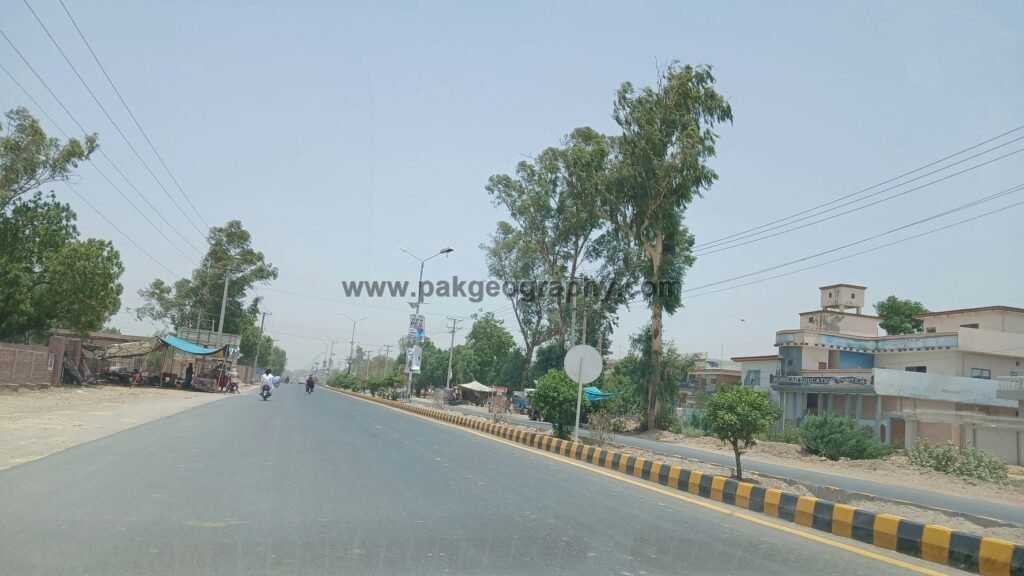
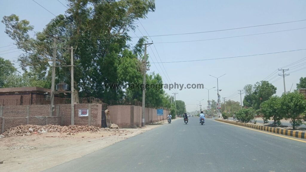
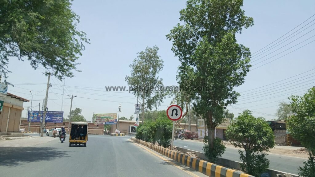
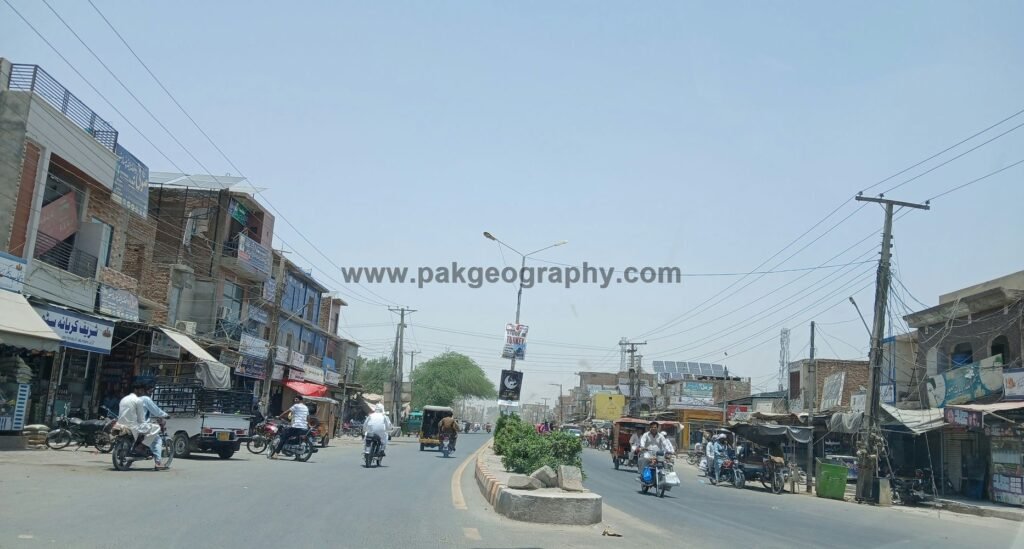
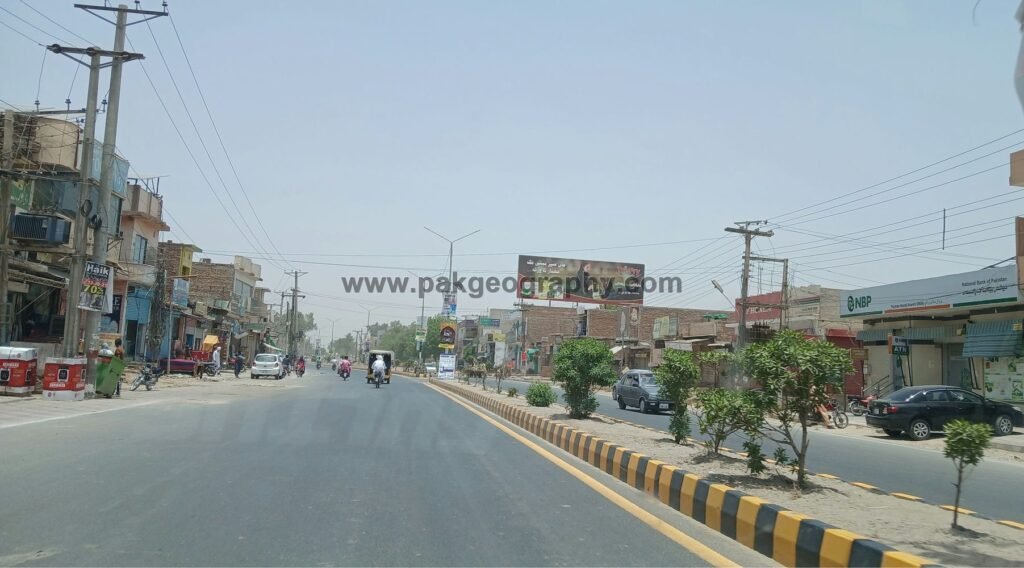
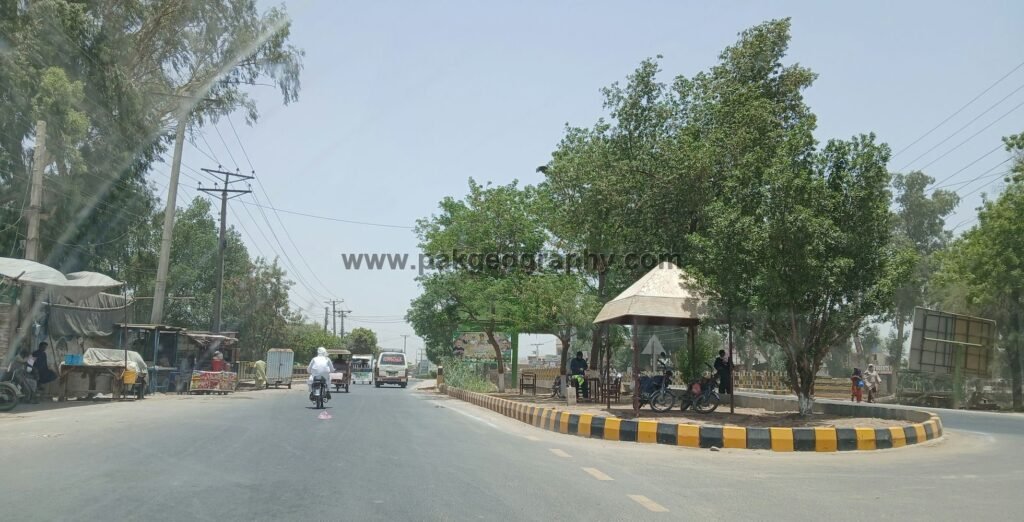
Transport and Connectivity
Yazman links westward to Bahawalpur city and east/southeast toward Cholistan and Derawar via metalled roads used by farmers, tourists and desert dwellers; its proximity to Lal Suhanra and Derawar makes it a staging point for nature and heritage tourism in the district.
- Population statistics- pbs.gov.pk ↩︎
- District wise Literacy rate – pbs.gov.pk ↩︎
- Police stations – punjabpolice.gov.pk ↩︎
- Hospital overview – thqyazmn.gov.pk ↩︎
- THQ Hospitals – pmuhealth.gop.pk ↩︎
- RHC – pshealthpunjab.gov.pk ↩︎
- Govt. Graduate college for women ↩︎
See BWP UC’s