
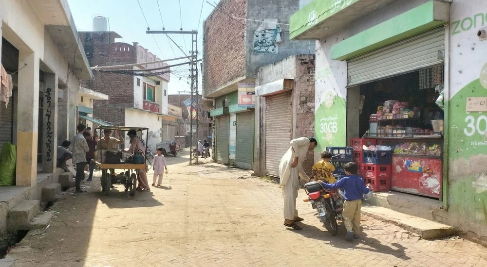
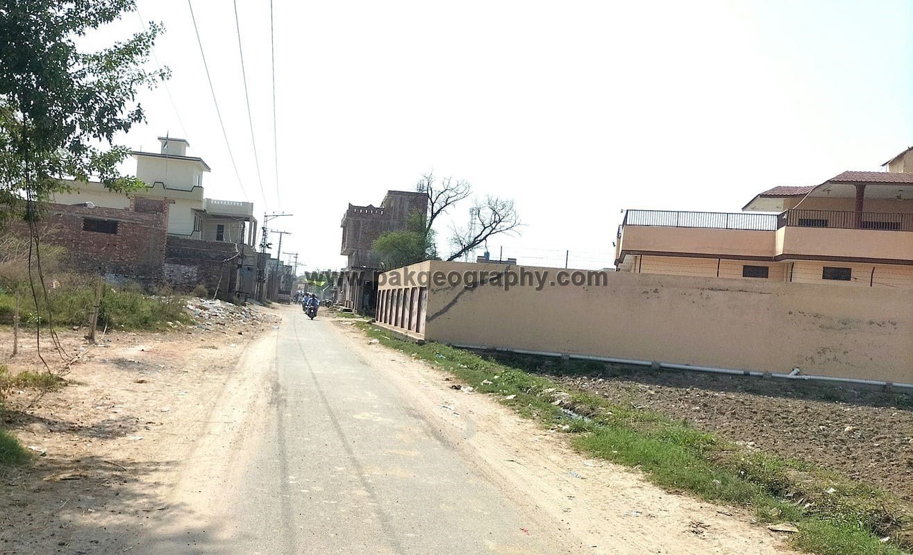
Sanda Chistana is a village situated in Union Council no 21 (Sanda Chistana), Tehsil & District Kasur, Province Punjab, Pakistan. Its surrounding areas are Bhedian Nai Basti, Maan, BhedianKalan, Ganda Singh, Burj Kalan, Hari Har and Bahmni Wala. It is located in South of Kasur city about 9 kilometers away. This town has been provided electricity. Its latitude is 31.048° or 31° 2′ 53″ north, while its longitude is 74.49858° or 74° 29′ 55″ east.
Out of the total population, there are 9,457 Muslims, while 1,244 individuals belong to other faiths. The literacy-eligible population aged 10 years and above is 7,793. The adult population aged 18 years and above is 6,203, while senior citizens aged 60 years and above number 824. The total land area of Sanda Chistana is 1,740 acres, giving it a population density of about 6.15 persons per acre. The Hadbast number of this village is 290/291


Population Of Sanda Chistana:
According to the 2023 census, this village has a total population of 10,701 individuals, including 5,443 males and 5,257 females. Males constitute 50.9 percent, while females make up 49.1 percent of the population. As per the 2017 census, the population of this village was 9,370 persons, showing a noticeable increase over six years. This growth reflects natural population increase and gradual expansion of residential settlement within the village limits.
Literacy Profile
The literacy rate of this village stands at 56.6 percent for the population aged 10 years and above. This falls slightly below the Kasur District average of 62.85 percent, showing a negative gap of 6.25 percentage points. Male literacy in Sanda Chistana stands at 61.8 percent, which is marginally lower than the district male average (67.97 percent) by 6.17 points.
Female literacy is 51.2 percent, falling below the district female average (57.44 percent) by 6.24 points. The figures reveal educational performance that trails district benchmarks by a modest margin across both genders. This indicates room for improvement in educational infrastructure and community engagement to enhance learning outcomes, though the village maintains reasonable literacy levels with roughly half of the female population and nearly two-thirds of males being literate. Here are the academic credentials of this village:
- Primary but below Matric: 1,322 males and 965 females
- Matric but below Degree: 744 males and 622 females
- Degree and above: 209 males and 205 females
These statistics showcase a developing educational landscape in the community. The data shows 965 women completing primary education, 622 reaching matriculation, and 205 achieving degree-level qualifications. Notably, female degree holders nearly match their male counterparts, with 205 women versus 209 men at the highest educational tier.
This near-parity at degree level reflects increasingly progressive attitudes toward women’s higher education in Sanda Chistana. The transition from 965 at primary to 622 at matric shows reasonable retention, though there is room for improvement. The substantial number of female degree holders, 205 women, demonstrates meaningful commitment to female academic advancement.
The near-equal representation at degree level, with only 4 fewer women than men, indicates a community that increasingly values and supports educational opportunities for women, creating an environment where female students can aspire to and achieve higher education goals.
Schools in Sanda Chistana:
There are following two Government Schools in this village:
- Government Girls Community Mode Elementary School (GGCMES). Its EMIS code is 35120664. It was established in year 1994. Its area comprises of 06 Kanal, 06 Marla land.
- Government Primary School For Boys (GPS). Its EMIS code is 35120371. It was established in 1963 and its area is 02 Kanal.


Nearest Health Centers:
The nearest Basic Health Unit is located in Hari Har, approximately 5.5 kilometers to the west of Sanda Chistana, and serves as the primary facility for basic medical care, vaccinations, and maternal health services. The nearest Rural Health Center (RHC) is situated in Ganda Singh Wala, about 2 kilometers to the east of the village, providing comparatively advanced treatment facilities.
The District Headquarters (DHQ) Hospital Kasur, also known as Bulleh Shah Hospital, lies to the north at a distance of about 13 kilometers and caters to major medical and emergency needs of the population.
Summary
| Indicator | Value | District Comparison |
|---|---|---|
| Population | 10,701 | 0.38% of district |
| Males | 5,443 (50.9%) | 0.37% of district |
| Females | 5,257 (49.1%) | 0.38% of district |
| Literacy Rate | 56.6% | 6.25% below district |
| Male Literacy | 61.8% | 6.17% below district |
| Female Literacy | 51.2% | 6.24% below district |
| Adult Population (18+) | 6,203 | – |
| Senior Citizens (60+) | 824 | – |
| Area | 1,740 Acres (7.04 sq km) | 0.17% of district |
| Population Density | ≈ 6.15 persons/acre | District: 1022.35/sq km |