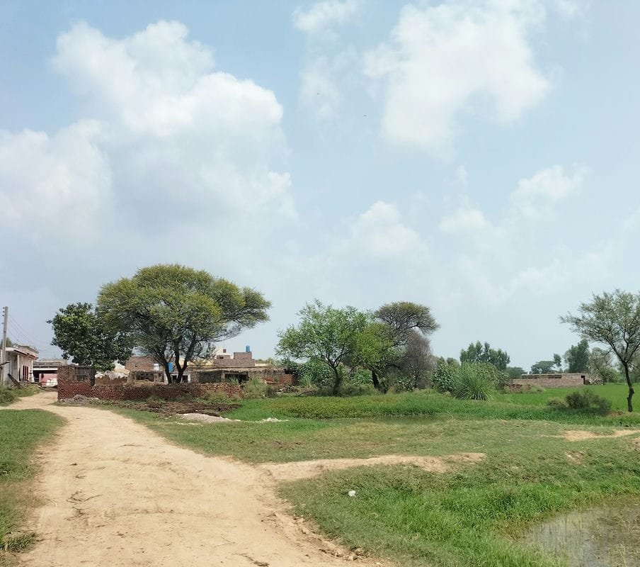
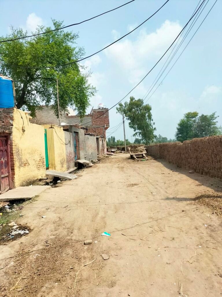
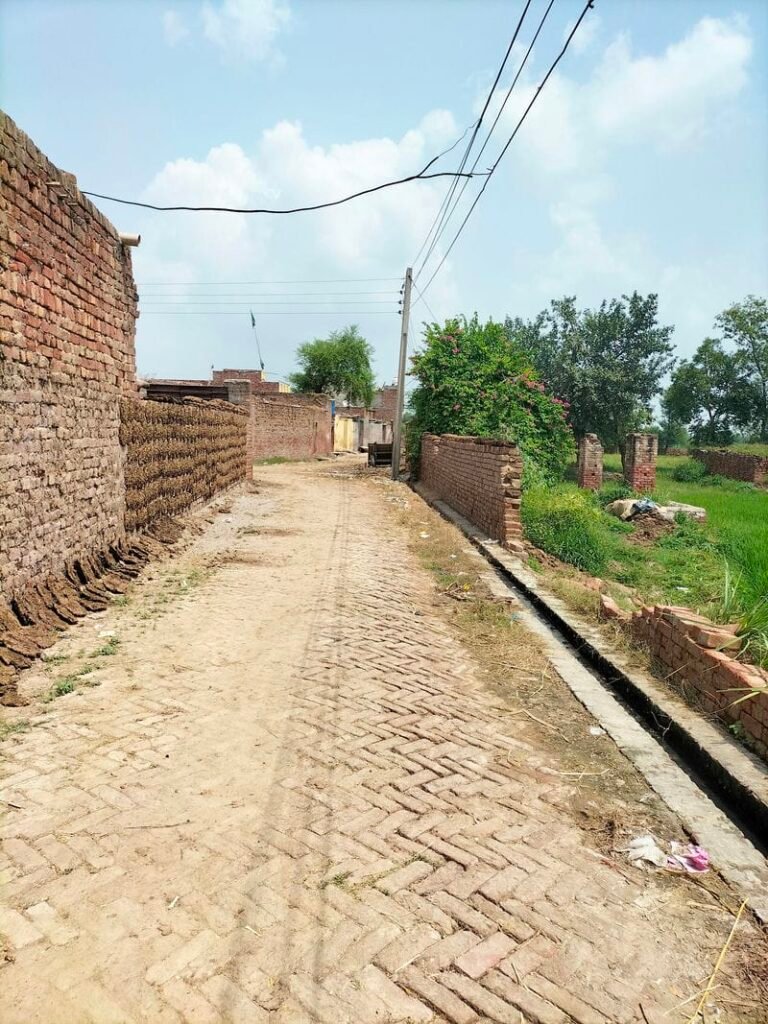
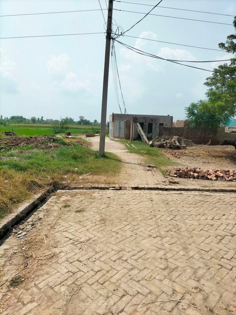
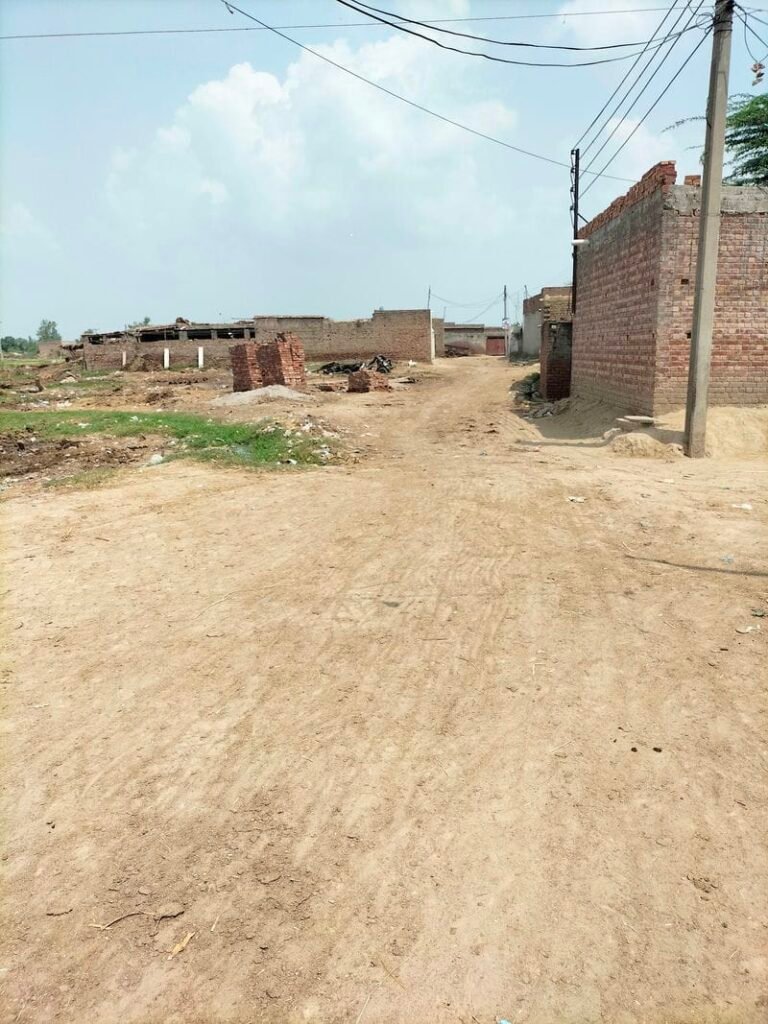
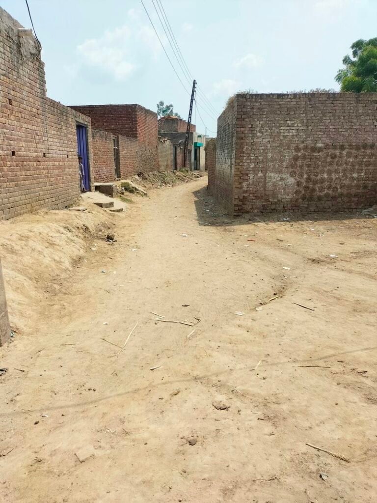
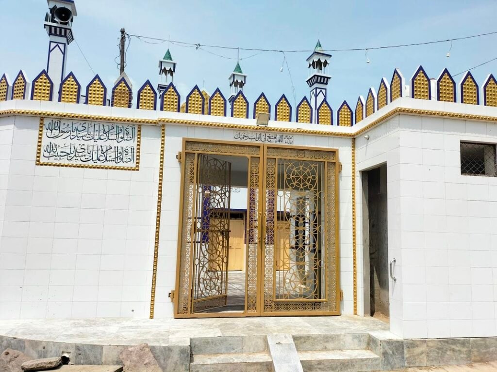
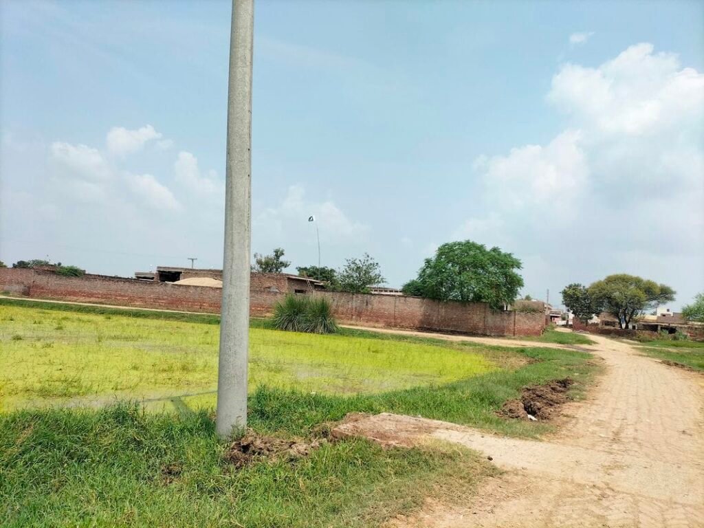
Seroy village is situated in union council no 4 (Sarhali kalan), Tehsil & District Kasur, Province Punjab, Pakistan. It is also spelled as “Saroi”. Its surrounding villages are Charchoghi, Bhoja, Kalyan and Sarhali kalan. Mewati and Punjabi are the most spoken languages of this village. Mayo is the main caste of Seroy. It comes in National Assembly constituency NA-137 and Provincial Assembly constituency PP-175.
Seroy is situated in north of kasur city about 23 kilometers away. Its nearby main town is Mustafa Abad (Lalyani) which is about 8 kilometers away in its southwest. This village has been provided electricity. Its latitude is 31.29411° or 31° 17′ 39″ north, while its longitude is 74.47736° or 74° 28′ 39″ east. Lahore city is located in its north.
سیروئے گاؤں یونین کونسل نمبر 4 (سرہالی کلاں)، تحصیل اور ضلع قصور، صوبہ پنجاب، پاکستان میں واقع ہے۔ اس کے آس پاس کے گاؤں چارچوگھی، بھوجا، کلیان اور سرہالی کلاں ہیں۔ یہ قومی اسمبلی کے حلقہ این اے 137 اور صوبائی اسمبلی کے حلقہ پی پی 175 میں آتا ہے۔ سیروئے قصور شہر سے تقریباً 23 کلومیٹر کے فاصلے پر شمال میں واقع ہے۔ اس کا قریبی مرکزی قصبہ مصطفیٰ آباد (للیانی) ہے جو اس کے جنوب مغرب میں تقریباً 8 کلومیٹر دور ہے۔ گاؤں کو بجلی فراہم کی گئی ہے۔ اس کا عرض بلد 31.29411° یا 31° 17′ 39″ شمال ہے، جبکہ اس کا طول البلد 74.47736° یا 74° 28′ 39″ مشرق ہے۔


Schools in Seroy: سیروئے میں اسکول
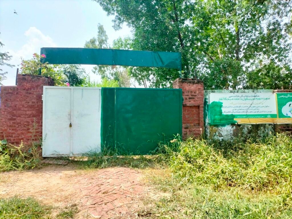
There is one Government Primary School GPS in Seroy. Its EMIS code is 35120272.
Is there any health center in Seroy/ Saroi:
There is no health center in Saroi. Nearest health facility i.e Basic health unit (BHU) is located in Sarhali kalan about 3 kilometers southwest. While nearest Rural Health Centre (RHC) is located in Mustafa Abad which is about 8 kilometers southwest.
